Weather Xtreme: Very Hot & Humid Today With Scattered Storms Possible
TODAY: We continue to have high pressure located off of the Louisiana Gulf Coast that will continue to keep Central Alabama hot and humid. We’ll start off with mostly clear skies, but those clouds will start to build with the main heating of the day. We’ll have a chance of isolated to scattered showers and thunderstorms across the area with the greatest coverage over the extreme northwestern and extreme southeastern parts of the area. Highs will be in the lower to the upper 90s across the area with some locations approaching the 100-degree mark in the southwestern parts of the area. We’ll continue to have the chance of isolated to scattered showers and storms through the evening and late night hours with lows in the lower to mid-70s.
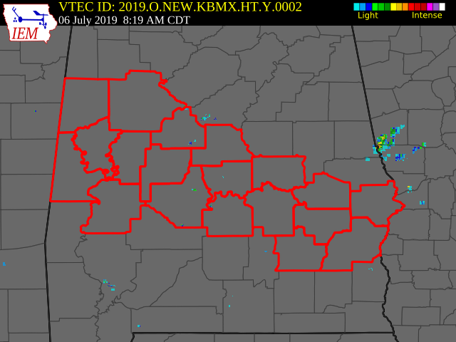
A HEAT ADVISORY is in effect from 11:00 am to 7:00 pm today for a good portion of the southern half of Central Alabama, including the counties of Pickens, Tuscaloosa, Sumter, Greene, Hale, Perry, Bibb, Chilton, Marengo, Dallas, Autauga, Lowndes, Elmore, Montgomery, Macon, Bullock, Russell, Pike, and Barbour. Heat index values in these counties will reach or exceed 105 degrees today. Be sure to drink plenty of fluids and stay in shaded areas if outside today.
SUNDAY: We’ll have a center of low pressure off to our northeast that will bring an increased risk of showers and thunderstorms across the northeast and eastern locations, especially north and east of the I-22 and US 280 corridors. The rest of Central Alabama will continue with the standard risk of scattered afternoon and early evening showers and storms. There will be more clouds than sun and highs will be in the upper 80s to the lower 90s across the area.
MONDAY: The low will have moved ever so slightly to the south which will keep the weather in the eastern parts of the area unsettled throughout the day. We’ll have partly to mostly cloudy skies with a chance of scattered mostly afternoon and early evening showers and storms, with higher coverage over the eastern parts of the area. Highs will be in the lower to mid-90s.
TUESDAY: The low has nudged into the northwestern parts of Georgia which will keep the rain chances a little higher in the eastern parts of the area slightly higher than the rest of Central Alabama. We’ll have a chance of isolated to scattered showers and thunderstorms with the heating of the day. Highs will be in the lower to mid-90s across the area.
WEDNESDAY: The low will be stationed to our south over the panhandle of Florida which will only help for scattered afternoon showers and thunderstorms to develop just a little easier than a typical summertime day. Highs will be in the lower to mid-90s.
THURSDAY: The low has washed out and ridging takes a stronghold over Central Alabama. We’ll continue to be hot and humid with the standard risk of scattered afternoon to early evening showers and thunderstorms. Highs will be in the lower to mid-90s.
FRIDAY: Ridging weakens a little bit which will allow for a little higher risk for scattered showers and thunderstorms mainly south of the I-59 corridor, while the rest of the area will continue with the standard risk of isolated to scattered afternoon showers and storms. Highs will be in the lower 90s.
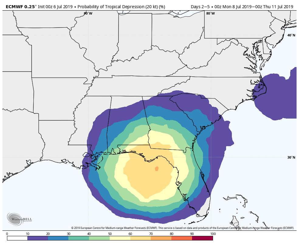
THE TROPICS: All is quiet across the Atlantic Basin and the NHC does not expect any new tropical cyclones to develop over the next five days. There is some uncertainty as the global models have shown some consistency in trying to develop some tropical mischief off of the Florida Gulf Coast sometime late in the week. We’ll keep our eyes on the Gulf throughout the weekend and next week just in case this might happen. Right now, it’s just an idea on the table and not a forecast.
BEACH FORECAST CENTER: Get the latest weather and rip current forecasts for the beaches from Fort Morgan to Panama City on our Beach Forecast Center page. There, you can select the forecast of the region that you are interested in.
ALREADY OFF TO A HOT START IN 2019! ADVERTISE WITH THE BLOG!: We have enjoyed over 10 MILLION page views on AlabamaWx.com so far in 2019! Don’t miss out! We can customize a creative, flexible and affordable package that will suit your organization’s needs. Contact Bill Murray at (205) 687-0782.
E-FORECAST: Get the Alabama Wx Weather Blog’s Seven-Day Forecast delivered directly to your inbox by email twice daily. It is the most detailed weather forecast available in Central Alabama. Subscribe here… It’s free!
CONNECT WITH THE BLOG ON SOCIAL MEDIA: You can find the AlabamaWx Weather Blog on the major social media networks:
Facebook
Twitter
Instagram
WEATHERBRAINS: Don’t forget you can listen to our weekly 90 minute netcast anytime on the web at WeatherBrains.com or on iTunes, Stitcher, or Spotify. This is the show all about weather featuring many familiar voices, including the meteorologists at ABC 33/40.
Category: Alabama's Weather, ALL POSTS, Weather Xtreme Videos
About the Author (Author Profile)
Scott Martin is an operational meteorologist, professional graphic artist, musician, husband, and father. Not only is Scott a member of the National Weather Association, but he is also the Central Alabama Chapter of the NWA president. Scott is also the co-founder of Racecast Weather, which provides forecasts for many racing series across the USA. He also supplies forecasts for the BassMaster Elite Series events including the BassMaster Classic.Subscribe
If you enjoyed this article, subscribe to receive more just like it.


