“Cold” Front Pushes Through Tomorrow
CHANGES AHEAD: Generally dry weather is the story for Alabama this afternoon, with temperatures mostly in the 86-90 degree range. But, to the north, we are seeing numerous showers and thunderstorms over Tennessee in association with a surface front dropping southward into the Deep South. Those showers and storms will move into North Alabama in coming hours, and will continue to move southward tonight.
SPC has defined a “slight risk” (level 2/5) of severe storms for areas near the Tennessee border, and a “marginal risk” (level 1/5) down to Sulligent, Cullman, and Fort Payne. Some of the heavier storms tonight could produce strong gusty straight line winds.
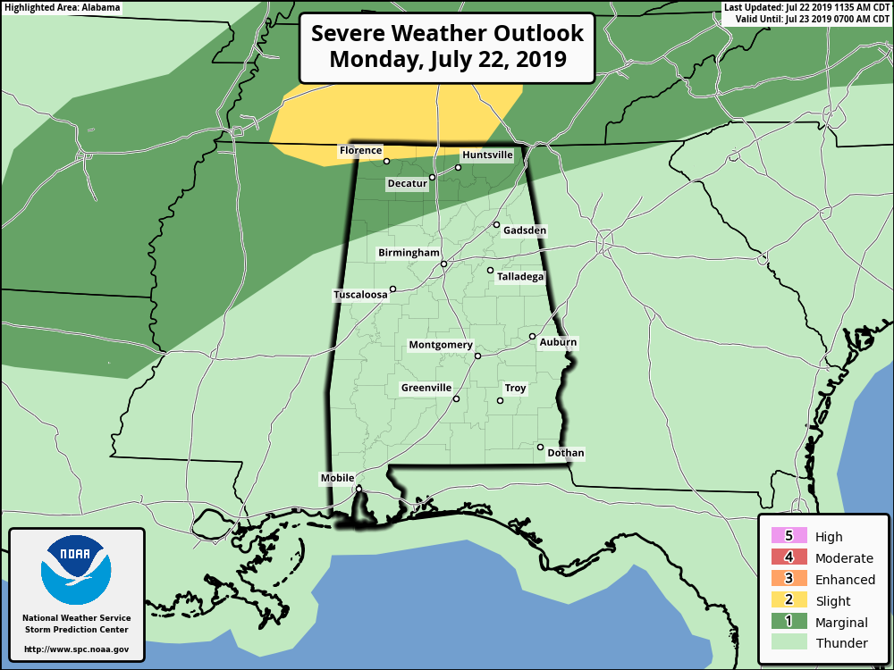
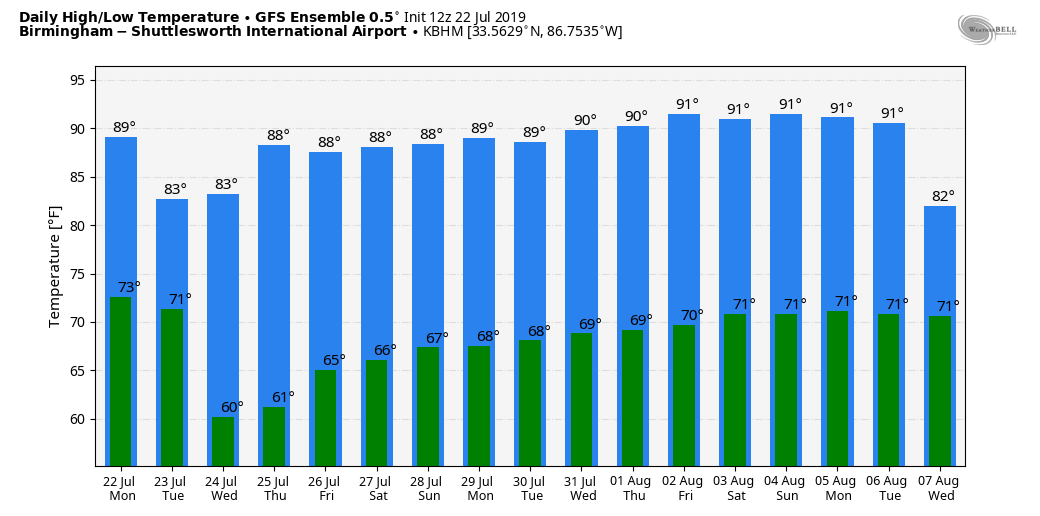
We will maintain the chance of showers tomorrow morning, but by afternoon most of the storms will shift down into the southern half of the state as dry air pushes into North Alabama. The high tomorrow will be in the low to mid 80s, almost ten degrees below average for late July in Alabama.
BREATH OF FRESH AIR: Wednesday and Thursday will be very pleasant for mid-summer. Sunny days, lower humidity, no afternoon storms, and cooler nights. Highs in the mid to upper 80s, lows well down in the 60s. Some of the cooler spots will likely visit the upper 50s both mornings.
FRIDAY AND THE WEEKEND: We all know that dry air won’t last long around here in summer. Moisture levels rise Friday, and showers are possible over the southern two-thirds of the state with a high in the upper 80s. Then, on Saturday and Sunday, look for humid conditions with a mix of sun and clouds, and the chance of random, scattered showers and thunderstorms. Afternoon highs over the weekend will be in the 87-90 degree range.
NEXT WEEK: For now it looks like fairly routine summer weather through the week. Partly sunny days with “scattered, mostly afternoon and evening showers and thunderstorms”. Highs mostly in the low 90s… See the Weather Xtreme video for maps, graphics, and more details.
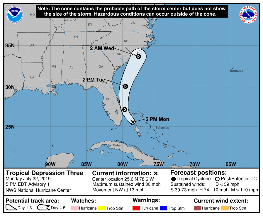
NEW TROPICAL DEPRESSION FORMS: Tropical depression three has formed in the area of the Bahamas… it is expected to remain a tropical depression as it stays just off the Southeast U.S. coast, and is expected to dissipate within 48 hours. No threat to the Gulf of Mexico.
ON THIS DATE IN 1993: The levee, holding back the flooding Mississippi River at Kaskaskia, Illinois, ruptures, forcing the town’s people to flee on barges. The incident at Kaskaskia was the most dramatic event of the flood. At 9:48 a.m., the levee broke, leaving the people of Kaskaskia with no escape route other than two Army Corp of Engineers barges. By 2 p.m., the entire town was underwater.
BEACH FORECAST: Click here to see the AlabamaWx Beach Forecast Center page.
WEATHER BRAINS: Don’t forget you can listen to our weekly 90 minute show anytime on your favorite podcast app. This is the show all about weather featuring many familiar voices, including our meteorologists here at ABC 33/40.
CONNECT: You can find me on all of the major social networks…
Facebook
Twitter
Instagram
Pinterest
Snapchat: spannwx
Look for the next Weather Xtreme video here by 7:00 a.m. tomorrow…
Category: Alabama's Weather, ALL POSTS, Weather Xtreme Videos
About the Author (Author Profile)
James Spann is one of the most recognized and trusted television meteorologists in the industry. He holds the AMS CCM designation and television seals from the AMS and NWA. He is a past winner of the Broadcast Meteorologist of the Year from both professional organizations.Subscribe
If you enjoyed this article, subscribe to receive more just like it.


