Rain Returns Before The Week Is Over
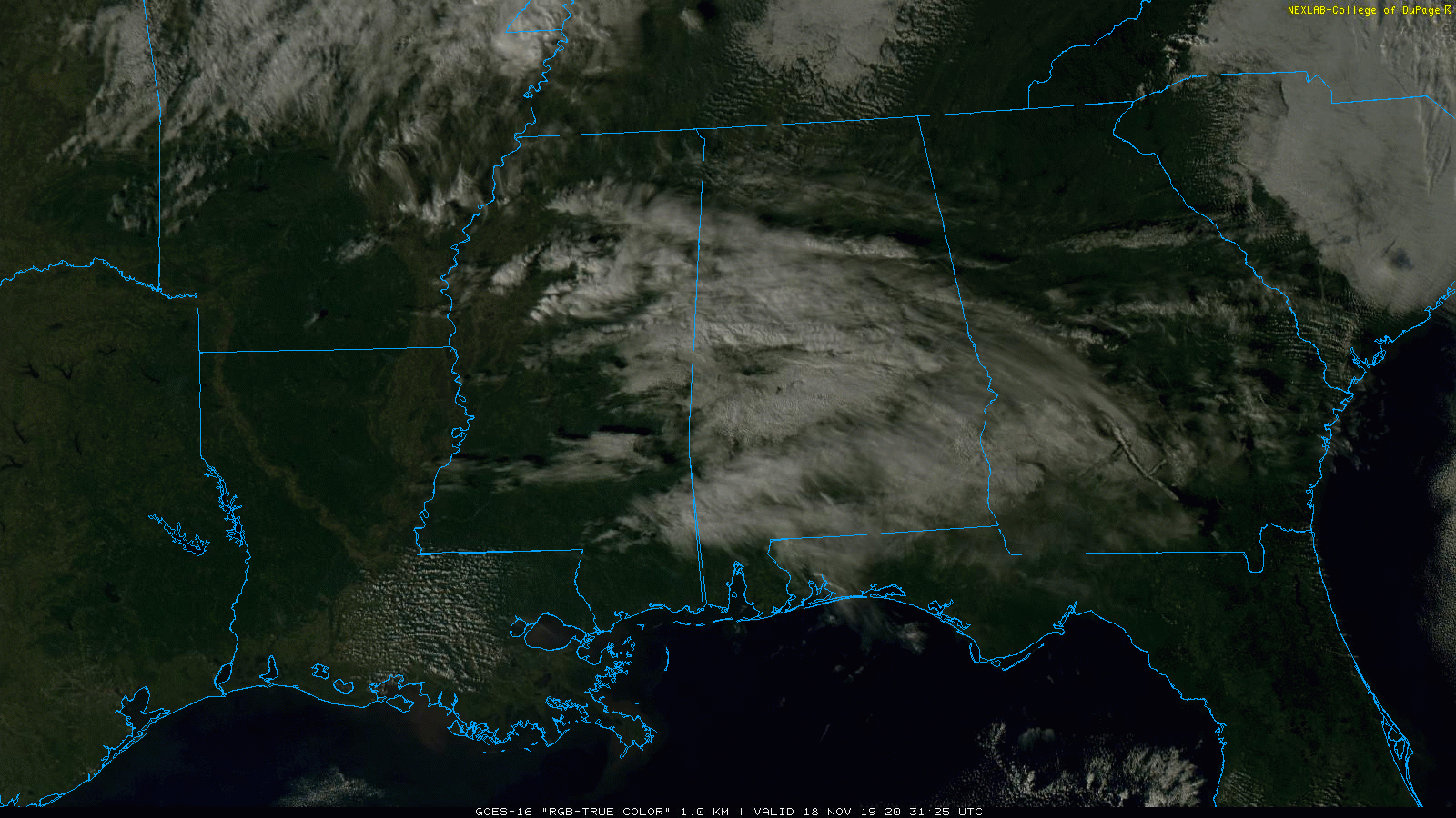
HIGH CLOUDS: A band of mid to high level clouds, 15,000 to 25,000 feet off the ground, is moving over Alabama this afternoon… but the low levels are dry, and there is no rain on radar despite a deep upper trough moving through. High clouds will linger tonight, and we expect a low between 38 and 42 degrees early tomorrow.
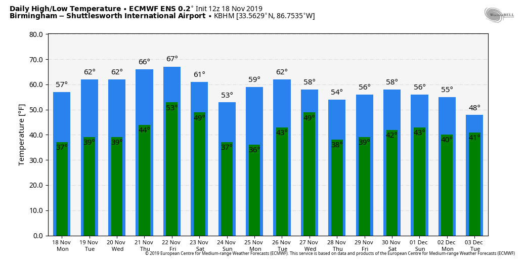
TOMORROW THROUGH THURSDAY: The mid-week period will be dry with pleasant days and cool nights. The high tomorrow will be in the mid 60s tomorrow, and close to 70 degrees Wednesday and Thursday. The sky each day will be partly to mostly sunny; very pleasant fall weather.
FRIDAY AND THE WEEKEND: Clouds return Friday, and we will forecast a good chance of rain for the northern half of Alabama by Friday afternoon as a cold front approaches. A wave of low pressure moves along the front Friday night, and by then rain should be widespread statewide. Some thunder is possible, but severe storms are not expected. Then, the rain will end early in the day Saturday as the front moves on to the east and drier air returns.
The main window for rain for now is from 12:00 noon Friday through 6:00 a.m. Saturday. Rain amounts over North Alabama will be in the 1-2 inch range, with amounts of 1/2 to 1 inch for the southern counties of the state.
For now, a decent part of the day Saturday looks rain-free, and we could see some clearing by afternoon. The day will be cooler with a high in the mid 50s. Then, for Sunday, expect sunshine in full supply with a high around 60 degrees.
THANKSGIVING WEEK: Monday looks dry, but a storm system will bring rain, and potentially a few thunderstorms, back to the state by late Tuesday, Tuesday night, and part of the day Wednesday. Then, the weather looks dry with seasonal temperatures for Thanksgiving Day and Black Friday. But, remember this is still over seven days away, and the forecast can, and probably will change. See the Weather Xtreme video for maps, graphics, and more details.
TROPICS: NHC still gives the disturbance east of the Leeward Islands a 50/50 chance of development over the next five days… it will move north through the open Atlantic, and seems to be no threat to land.
ON THIS DATE IN 1957: A tornado moved through the Birmingham metro, killing one person and injuring 25. After touching down in Ensley, the tornado proceeded northeast through the Pratt area and North Birmingham and eventually into Tarrant. Many homes between 22nd and 24th streets on 35th and 36th Avenues North were damaged with numerous large trees down around the area. The Birmingham Airport reported winds of 69 mph and reported the funnel just to the northwest. Damage in Tarrant was mainly to the industrial area. November 17 and 18, 1957 were very active across the entire state of Alabama. An additional 13 tornadoes were reported statewide with several injuries and fatalities. Major damage was reported in Walker, Jefferson, Tuscaloosa, Blount and Marshall Counties.
BEACH FORECAST: Click here to see the AlabamaWx Beach Forecast Center page.
WEATHER BRAINS: Don’t forget you can listen to our weekly 90 minute show anytime on your favorite podcast app. This is the show all about weather featuring many familiar voices, including our meteorologists here at ABC 33/40.
CONNECT: You can find me on all of the major social networks…
Facebook
Twitter
Instagram
Pinterest
Snapchat: spannwx
I had a great time today visiting with the kids at Charles A. Brown Elementary in Birmingham… be looking for them on the Pepsi KIDCAM today at 5:00 on ABC 33/40 News! The next Weather Xtreme video will be posted here by 7:00 a.m. tomorrow…
Category: Alabama's Weather, ALL POSTS, Weather Xtreme Videos
About the Author (Author Profile)
James Spann is one of the most recognized and trusted television meteorologists in the industry. He holds the AMS CCM designation and television seals from the AMS and NWA. He is a past winner of the Broadcast Meteorologist of the Year from both professional organizations.Subscribe
If you enjoyed this article, subscribe to receive more just like it.


