Hot, Humid Summer Weather Continues; A Few Isolated Storms
HOT SUMMER WEATHER: Temperatures are mostly in the low to mid 90s across Alabama this afternoon with a partly to mostly sunny sky. We note a few isolated storms, mainly over the southern half of the state. Those isolated thunderstorms will end this evening, and the sky will be mostly fair overnight.
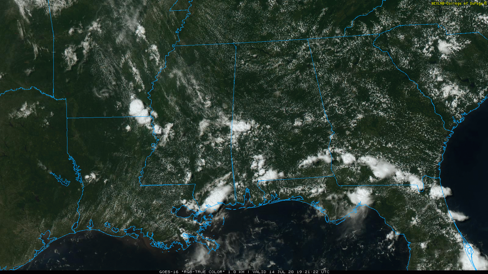
REST OF THE WEEK: We project highs in the 93-98 degree range tomorrow through Friday, with partly sunny days and mostly fair nights. During the peak of the heat each afternoon and evening, we will have potential for a few showers and thunderstorms, but they should be pretty isolated. Odds of any one spot getting wet each day will be about one in five.
THE WEEKEND AND NEXT WEEK: The overall upper air pattern won’t change; a classic mid-summer look. We have a ridge in place across the Deep South, with the main jet stream and wave action far to the north. Look for partly sunny, hot, humid days with the usual risk of random, widely scattered showers and thunderstorms during the afternoon and evening hours. Highs will be mostly in the mid 90s… a little above average for this time of the year. See the Weather Xtreme video for maps, graphics, and more details.
TROPICS: The Atlantic basin remains very quiet; tropical storm formation is not expected through the weekend. But, most are expecting a signifiant uptick in activity next month and into September.
ON THIS DATE IN 1980: The great heat wave of 1980 was well underway. Birmingham’s high was 103, keeping alive a string of five straight days of 100 degree plus readings in the Magic City. That streak would extend on out to eight days. Starting on the 10th, Birmingham’s highs were 101, 102, 104, 106, 103, 102, 105, 105. The string was finally broken on the 18th, when powerful storms formed at mid-afternoon, cooling down the temperature just shy of the century mark.
The hottest day of the summer was July 17th when over 80 percent of the state reached 100 degrees, and nearly one quarter of the state reached 105. The highest reading on that day was 108 degrees recorded in the cities of Bessemer, Aliceville, and Jasper. It was 105 in Birmingham that day.
Around the nation, the heat wave claimed anywhere between 1,250 and 10,000 lives. Also because of the massive drought, agricultural damage estimates totaled over $50 billion when adjusted for inflation. It is among the billion-dollar weather disasters listed by NOAA.
BEACH FORECAST: Click here to see the AlabamaWx Beach Forecast Center page.
WEATHER BRAINS: Don’t forget you can listen to our weekly 90 minute show anytime on your favorite podcast app. This is the show all about weather featuring many familiar voices, including our meteorologists here at ABC 33/40.
CONNECT: You can find me on all of the major social networks…
Facebook
Twitter
Instagram
Pinterest
Snapchat: spannwx
Look for the next Weather Xtreme video here by 7:00 a.m. tomorrow…
Category: Alabama's Weather, ALL POSTS, Weather Xtreme Videos
About the Author (Author Profile)
James Spann is one of the most recognized and trusted television meteorologists in the industry. He holds the AMS CCM designation and television seals from the AMS and NWA. He is a past winner of the Broadcast Meteorologist of the Year from both professional organizations.Subscribe
If you enjoyed this article, subscribe to receive more just like it.


