Mostly Dry Tomorrow Through Sunday
RADAR CHECK: Isolated showers and thunderstorms persist across Northeast Alabama this afternoon; a few of them are producing heavy downpours along with frequent lightning. But, most of the state is dry with a partly sunny sky. Temperatures are between 87 and 92 for most communities.
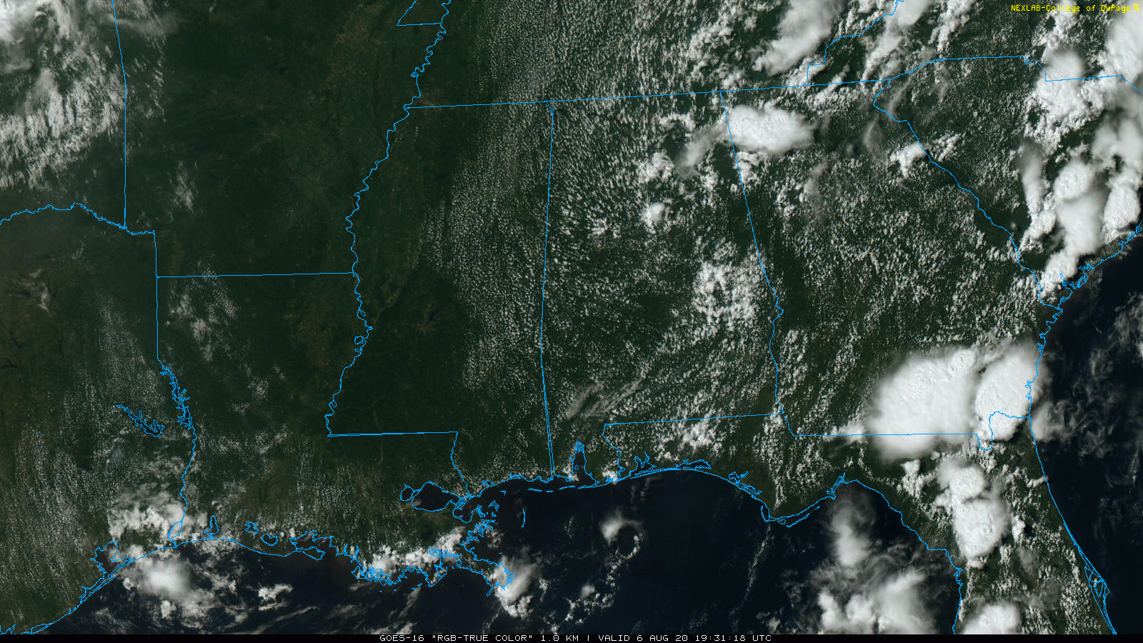
Showers and storms will fade away tonight as the air cools and becomes more stable.
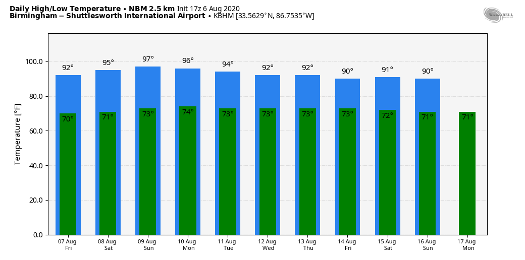
TOMORROW THROUGH THE WEEKEND: An upper ridge will ease into the region from the west, meaning few, if any showers, and hotter afternoons. Look for mostly sunny and fair nights… the high tomorrow will be close to 90, followed by low to mid 90s over the weekend. The chance of any one spot getting wet all threat days is only 5 to 10 percent.
NEXT WEEK: Moisture levels will rise a bit, and the weather looks very routine for August in Alabama. Partly sunny, hot, humid days with random, scattered, mostly afternoon and evening showers and storms. Highs will be mostly in the low 90s, right at seasonal averages for this time of the year. See the Weather Xtreme video for maps, graphics, and more details.
TROPICS: The Atlantic Basin is quiet, and tropical storm formation is not expected through the weekend.
We note that NOAA issued their updated hurricane season outlook this morning. Some notes from that release:
“This is one of the most active seasonal forecasts that NOAA has produced in its 22-year history of hurricane outlooks. NOAA will continue to provide the best possible science and service to communities across the Nation for the remainder of hurricane season to ensure public readiness and safety,” said U.S. Secretary of Commerce Wilbur Ross. “We encourage all Americans to do their part by getting prepared, remaining vigilant, and being ready to take action when necessary.”
The updated outlook calls for 19-25 named storms (winds of 39 mph or greater), of which 7-11 will become hurricanes (winds of 74 mph or greater), including 3-6 major hurricanes (winds of 111 mph or greater). This update covers the entire six-month hurricane season, which ends Nov. 30, and includes the nine named storms to date.
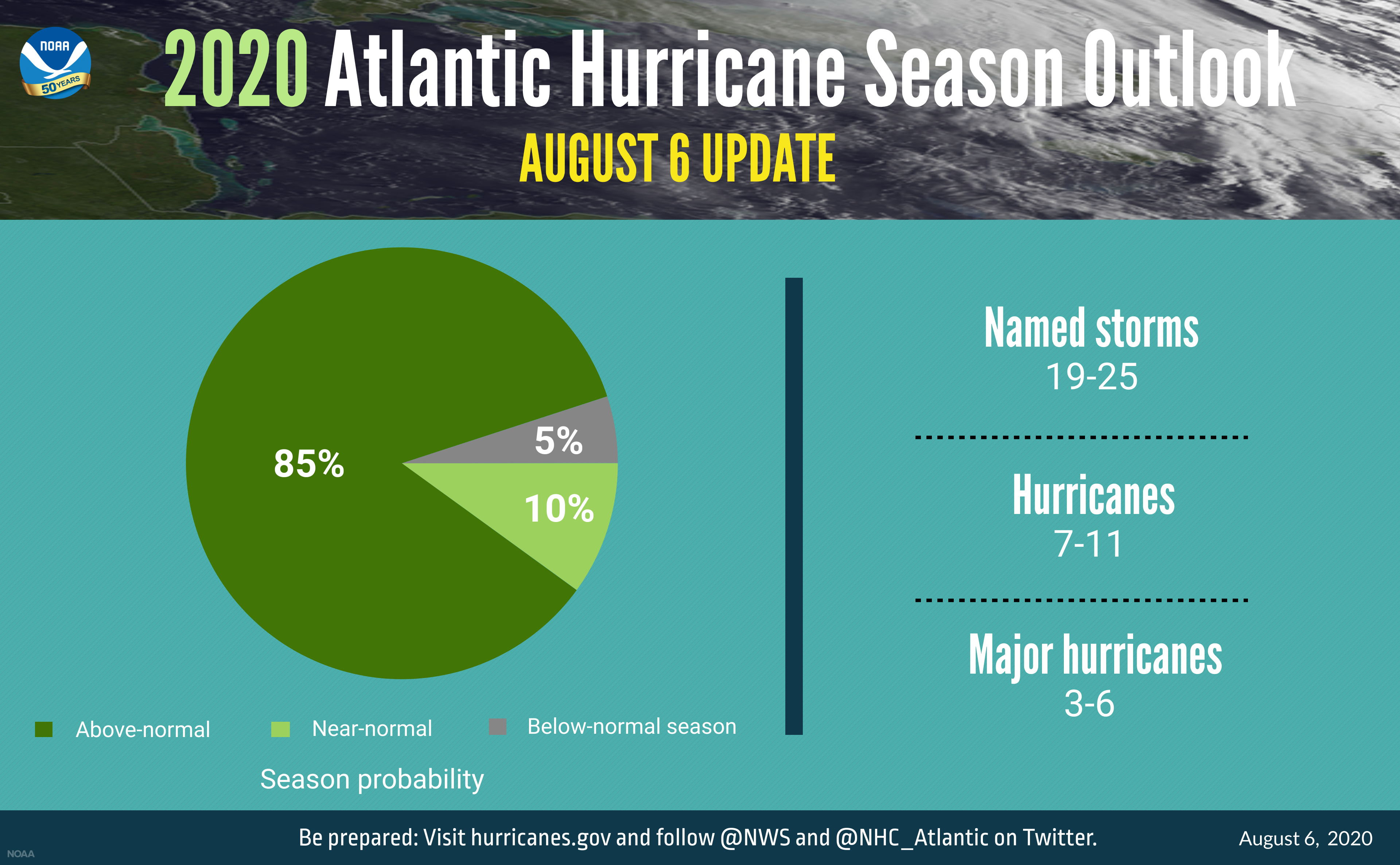
Current oceanic and atmospheric conditions that make an “extremely active” hurricane season possible are warmer-than-average sea surface temperatures in the tropical Atlantic Ocean and Caribbean Sea, reduced vertical wind shear, weaker tropical Atlantic trade winds and an enhanced west African monsoon. These conditions are expected to continue for the next several months. A main climate factor behind these conditions is the ongoing warm phase of the Atlantic Multi-Decadal Oscillation, which reappeared in 1995 and has been favoring more active hurricane seasons since that time.
Another contributing climate factor this year is the possibility of La Nina developing in the months ahead. Indicative of cooler-than-average sea surface temperatures in the equatorial regions of the eastern Pacific Ocean, La Nina can further weaken the wind shear over the Atlantic Basin, allowing storms to develop and intensify.
ON THIS DATE IN 1993: Virginia experienced its worst tornado outbreak ever as 18 tornadoes ripped through the state in 5 hours. The most devastating tornado caused severe damage in the historic part of Petersburg. The storm then moved on to Pocahontas Island and into Colonial Heights. There, the storm ripped apart a WalMart store, killing three people and injuring nearly 200. The F4 twister was the first known violent tornado in Virginia history. It killed a total of 4 people and injured 246 along its 12-mile path.
BEACH FORECAST: Click here to see the AlabamaWx Beach Forecast Center page.
WEATHER BRAINS: Don’t forget you can listen to our weekly 90 minute show anytime on your favorite podcast app. This is the show all about weather featuring many familiar voices, including our meteorologists here at ABC 33/40.
CONNECT: You can find me on all of the major social networks…
Facebook
Twitter
Instagram
Pinterest
Snapchat: spannwx
Look for the next Weather Xtreme video here by 7:00 a.m. tomorrow…
Category: Alabama's Weather, ALL POSTS, Weather Xtreme Videos
About the Author (Author Profile)
James Spann is one of the most recognized and trusted television meteorologists in the industry. He holds the AMS CCM designation and television seals from the AMS and NWA. He is a past winner of the Broadcast Meteorologist of the Year from both professional organizations.Subscribe
If you enjoyed this article, subscribe to receive more just like it.


