Cold Night Ahead; 20s By Daybreak Tomorrow
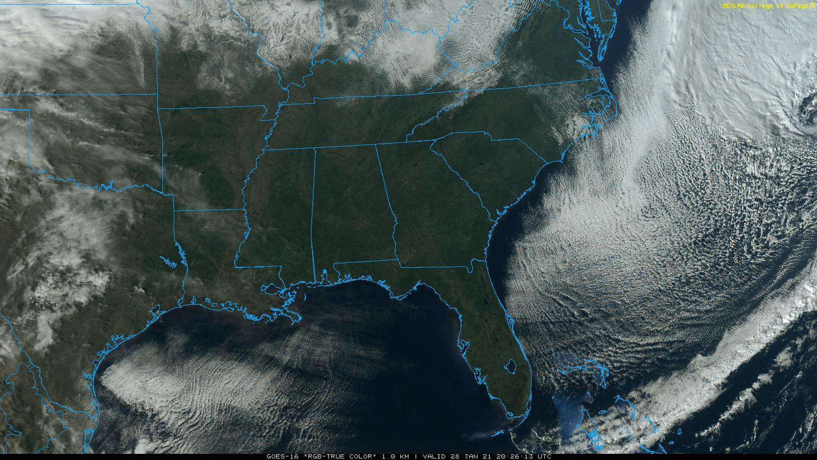
SEVERE CLEAR: Bone crushing subsidence (sinking air) means a cloudless sky for all of Alabama this afternoon. Temperatures are below average… 40s for North Alabama, with 50s to the south. Tonight will be clear and cold with a freeze; most places will see a low between 22 and 28 early tomorrow.
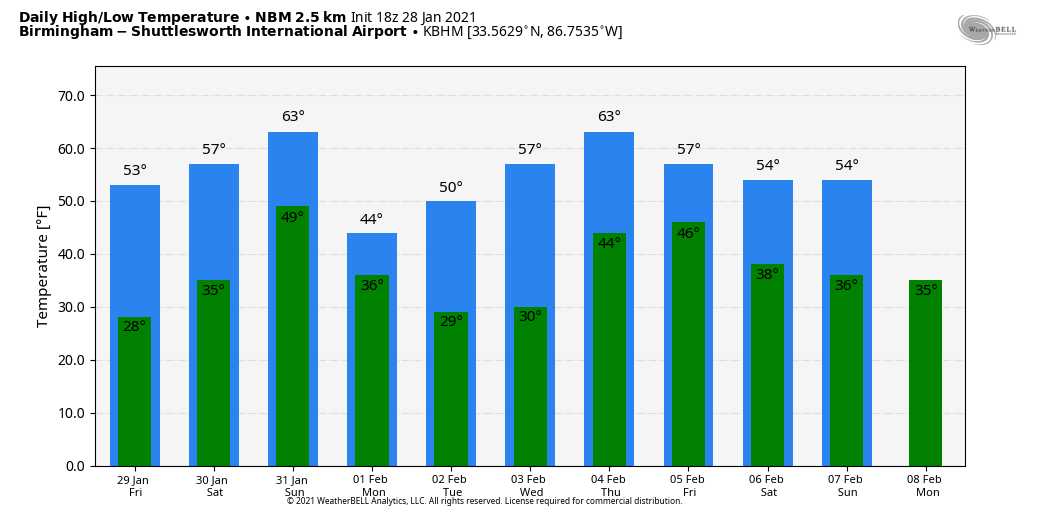
Tomorrow will be another sunny day with a high in the mid 50s.
THE ALABAMA WEEKEND: Saturday will be dry, after a sunny morning clouds will increase by afternoon… the high will be in the low 60s. Rain returns to the state Saturday night into Sunday morning; models continue to show no surface based instability meaning no risk of severe storms, and probably very little thunder. Rain amounts will be 1/2 inch or less for most places, and the rain should be over by noon Sunday. Otherwise, Sunday will be cloudy and mild with a high in the low to mid 60s.
NEXT WEEK: Colder air moves into the state Monday; with a partly sunny sky the high will be in the upper 40s. Then, dry and seasonal weather is the story for mid-week with highs in the 50s. The next round of rain comes late Thursday, Thursday night, and possibly into Friday morning. At the moment it looks like very little instability will be available, so severe storms look unlikely. See the Weather Xtreme video for maps, graphics, and more details.
ON THIS DATE IN 2014: Light snow was forecast for North/Central Alabama as a winter storm approached Alabama… heavier snow amounts were expected for the southern half of the state where moisture was deeper. A “dusting” was forecast for places like Birmingham and Tuscaloosa. As it turned out, Birmingham would receive two inches of snow from the event. Light snow, but still more than a “dusting”. It turned out to be a “dusting of chaos”.
But, the big forecast bust involved impact, which is all that matters. We expected “no travel issues” for the I-20 corridor. Horribly wrong. As the light snow fell on the morning of January 28, it melted due to warm ground temperatures. But, the air temperature was only 18 degrees, and the snow melt immediately turned to ice. A flash freeze… something we have no experience with here. Roads were coated with ice, and turned into skating rinks. The 2 inches of snow had the impact of a major ice storm for travel, and as everyone left from work and school at the same time on ice covered roads, there was gridlock. Some were stranded on roads for over 10 hours. Many abandoned their vehicles and walked, look for shelter. There were nine deaths attributed to accidents that occurred due to the icy road conditions.
We often wonder if we should be in the business of forecast road conditions anyway; our training is all about what happens in the atmosphere, not ice accretion on roads.
For me, in terms of forecast busts, it ranks number two on the list in a 42 year career. Number one was the 1982 ice storm, a catastrophic event when ice and snow came in almost 8 hours ahead of forecast.
BEACH FORECAST: Click here to see the AlabamaWx Beach Forecast Center page.
WEATHER BRAINS: Don’t forget you can listen to our weekly 90 minute show anytime on your favorite podcast app. This is the show all about weather featuring many familiar voices, including our meteorologists here at ABC 33/40.
CONNECT: You can find me on all of the major social networks…
Look for the next Weather Xtreme video here by 6:00 a.m. tomorrow…
Category: Alabama's Weather, ALL POSTS, Weather Xtreme Videos
About the Author (Author Profile)
James Spann is one of the most recognized and trusted television meteorologists in the industry. He holds the AMS CCM designation and television seals from the AMS and NWA. He is a past winner of the Broadcast Meteorologist of the Year from both professional organizations.Subscribe
If you enjoyed this article, subscribe to receive more just like it.


