Midday Nowcast: Tons of Sunshine
Looking great and feeling great on this Monday across Alabama as it is a beautiful spring day with tons of sunshine and highs are surging into the upper 60s and lower 70s. Tonight will be mainly clear with lows in the low to mid 40s.
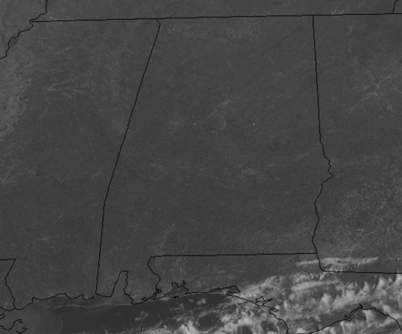
RAIN/STORMS RETURN: Our winds become southerly tomorrow and moisture levels start to rise allowing clouds to increase tomorrow ahead of an approaching cold front. A few showers and storms are possible across the state by the afternoon, highs tomorrow will be in the mid 70s. On Wednesday, the cold front will move into Alabama bringing a band of showers and thunderstorms into the state. The SPC has defined a “marginal risk” (level 1/5) of severe thunderstorms for most of Alabama Wednesday as some thunderstorms will be capable of producing small hail, strong winds, and a brief, isolated tornado or two. This is not like recent events over the past two weeks, but still everyone still needs to be weather aware Wednesday as it only takes one storm to make this a very bad day for the state. Of course, make sure you have a way of receiving warnings if they are needed.
LATE SEASON COLD SNAP: Behind the front, the sky will clear Wednesday night as colder, drier air mass moves into the state. Look for lows by Thursday morning in the mid and upper 30s. Thursday will be a sunny, and unseasonably cool day with highs struggling to reach the mid 50s and add in a gusty northwest wind, it will be feeling colder.
Growers beware Thursday night/Friday morning as temperatures will drop to or below freezing over much of North and Central Alabama as lows we project lows in the 27-33 degree range for most places. This is not unusual for early April, but if you have caught spring fever and set out or planted plants, you’ll have to take some precautions. We say it every year, don’t plant anything that will be harmed by a freeze until April 15 across North/Central Alabama. Friday’s highs will remain below-average despite sunshine in full supply, highs will be around 60°
BEACH FORECAST CENTER: Get the latest weather and rip current forecasts for the beaches from Fort Morgan to Panama City on our Beach Forecast Center page. There, you can select the forecast of the region that you are interested in visiting.
WORLD TEMPERATURE EXTREMES: Over the last 24 hours, the highest observation outside the U.S. was 112.6F at Matam, Senegal. The lowest observation was -76.2F at Amundsen-Scott South Pole Station, Antarctica.
CONTIGUOUS TEMPERATURE EXTREMES: Over the last 24 hours, the highest observation was 94F at Anaheim, CA. The lowest observation was 1F at Gothic, CO.
WEATHER ON THIS DATE IN 1935: A severe dust storm blanketed Amarillo, TX, for 84 hours. During one six hour period the visibility was near zero.
Category: Alabama's Weather, ALL POSTS
About the Author (Author Profile)
Macon, Georgia Television Chief Meteorologist, Birmingham native, and long time Contributor on AlabamaWX. Stormchaser. I did not choose Weather, it chose Me. College Football Fanatic. @Ryan_StinnetSubscribe
If you enjoyed this article, subscribe to receive more just like it.


