One More Nice Day at Midday Before the Heat Cranks Back Up on Tuesday
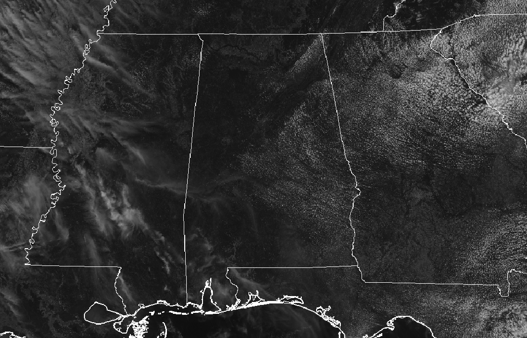
While it still feels really nice outside as we make our way to the noon hour across Central Alabama, those daytime highs will get really warm later today. It is mainly sunny across the area with only a few fair-weather cumulus clouds dotting the sky. Temperatures as of the 11 am roundup were in the lower 70s to right at 80 degrees, with Eufaula leading the way at 80 degrees. Birmingham was at 75 degrees. The cool spots were Gadsden and Haleyville, both at 72 degrees.
Skies will remain mainly sunny throughout the rest of the daylight hours with those cumulus clouds dissipating by sunset. Afternoon highs will be in the lower to mid-80s for most of the area while a few spots in the southern parts of the area may make it into the upper 80s. For this evening and through the overnight hours, skies will be clear and temperatures will be nice and mild. Lows will dip down into the upper 50s to the lower 60s.
The heat and humidity start to increase on Tuesday, but we look to stay dry at least until late on Wednesday. Skies will start off mostly clear, but some clouds will move in and leave us partly cloudy by the afternoon. Highs will be up in the mid-80s to the lower 90s.
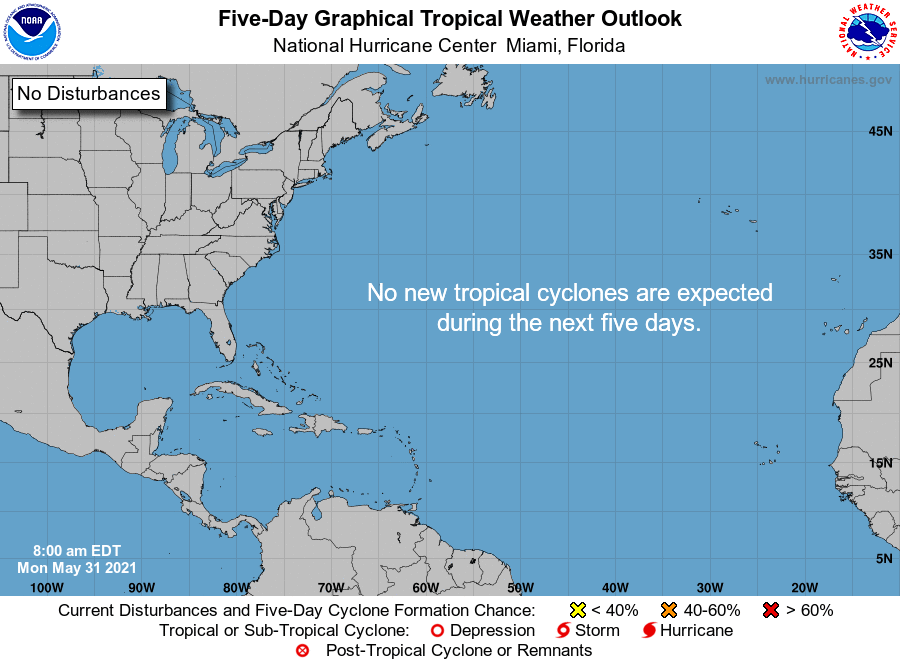
As of the 7 am CDT update from the National Hurricane Center, tropical cyclone formation is not expected during the next 5 days across the North Atlantic, the Caribbean Sea, and the Gulf of Mexico.
Category: Alabama's Weather, ALL POSTS, Tropical
About the Author (Author Profile)
Scott Martin is an operational meteorologist, professional graphic artist, musician, husband, and father. Not only is Scott a member of the National Weather Association, but he is also the Central Alabama Chapter of the NWA president. Scott is also the co-founder of Racecast Weather, which provides forecasts for many racing series across the USA. He also supplies forecasts for the BassMaster Elite Series events including the BassMaster Classic.Subscribe
If you enjoyed this article, subscribe to receive more just like it.


