

Flash Flood Warning Continues for Parts of Tallapoosa County Until 915 p.m.
Rain is diminishing in Tallapoosa County at this hour, but some reports from earlier…
…water covering the roadway on Elkahatchee rd, and at Center St. roads are still passable at this time.
…water covering the roadway at Central Ave, and at 12th Ave N.
…FLASH FLOOD WARNING REMAINS IN EFFECT UNTIL 915 PM CDT THIS
EVENING FOR NORTHWESTERN TALLAPOOSA COUNTY…
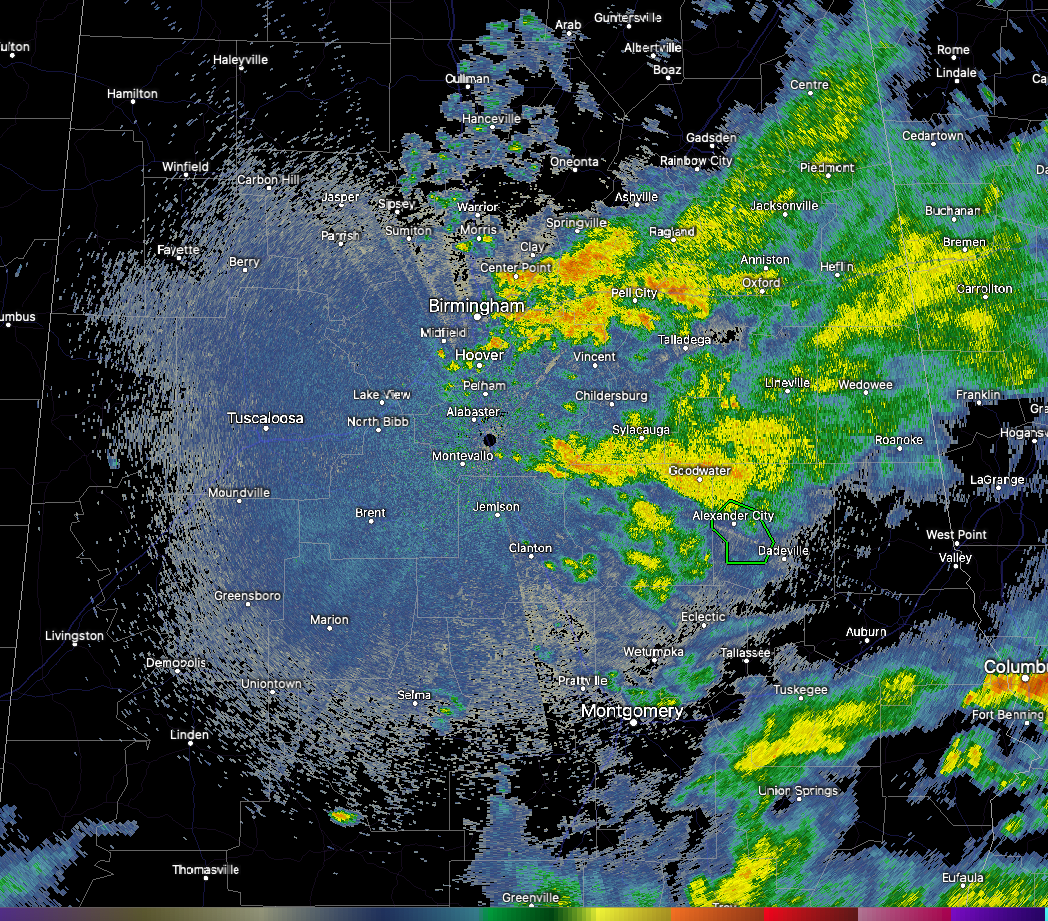
At 750 PM CDT, Doppler radar indicated thunderstorms producing heavy
rain across the warned area. Between 2 and 4 inches of rain have
fallen. Additional rainfall amounts up to 0.5 inches are possible in
the warned area. Flash flooding is ongoing or expected to begin
shortly.
HAZARD…Flash flooding caused by thunderstorms.
SOURCE…Radar.
IMPACT…Flash flooding of small creeks and streams, urban areas,
highways, streets and underpasses as well as other poor
drainage and low-lying areas.
Some locations that will experience flash flooding include…
Alexander City, Jacksons’ Gap, Northern Lake Martin, Wind Creek
State Park and Eastern Lake Martin.
PRECAUTIONARY/PREPAREDNESS ACTIONS…
Turn around, don’t drown when encountering flooded roads. Most flood
deaths occur in vehicles.
Please report observed flooding to local emergency services or law
enforcement and request they pass this information to the National
Weather Service when you can do so safely.
Category: Alabama's Weather, ALL POSTS
About the Author (Author Profile)
Bill Murray is the President of The Weather Factory. He is the site's official weather historian and a weekend forecaster. He also anchors the site's severe weather coverage. Bill Murray is the proud holder of National Weather Association Digital Seal #0001 @wxhistorianSubscribe
If you enjoyed this article, subscribe to receive more just like it.


