Delight for Some, Disappointment for Most
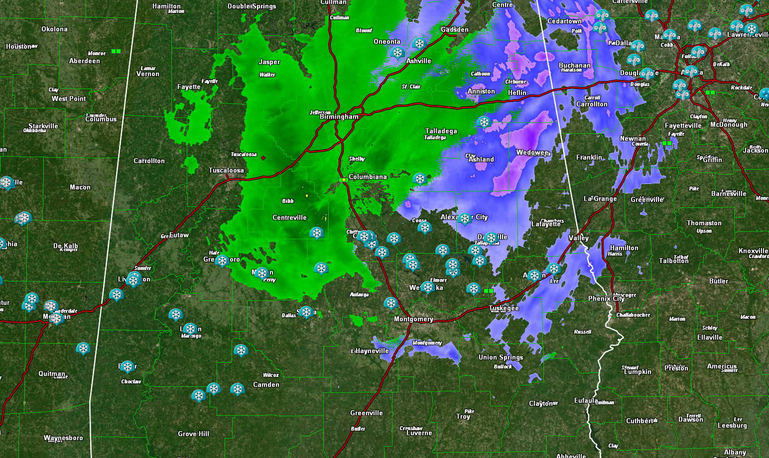
Snow reports continue to flow in this afternoon, from the most unlikely of places: South Central and South Alabama, while much warmer air aloft has kept the precipitation as rain over North Central Alabama.
How about a dusting of snow in communities in Washington County, just north of Mobile? Or a dusting of snow in communities around Monroe County, including the Mockingbird City of Monroeville? Or maybe a quarter of an inch in Clarke County.
There are light accumulations all across South Central Alabama from Sumter, Choctaw, and Washington Counties on the west through Marengo, Hale, Perry, Clarke, Wilcox, Bibb, Chilton, Autauga, Dallas, Elmore, Coosa, Tallapoosa, Talladega, and Lee Counties.
The precipitation continues to be all rain to the north and is changing back over to rain over western sections.
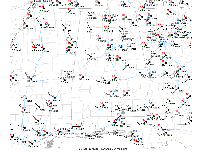
Temperatures are in the 30s and 40s across the area.
The best chances for snow continue over the Tennessee Valley and East Alabama for this afternoon. For the rest of Central Alabama, the rain should begin to diminish and move out. It will be cold overnight, with lows in the upper 20s and lower 30s.
Tomorrow promises sunshine with highs in the 40s.
Category: ALL POSTS
About the Author (Author Profile)
Bill Murray is the President of The Weather Factory. He is the site's official weather historian and a weekend forecaster. He also anchors the site's severe weather coverage. Bill Murray is the proud holder of National Weather Association Digital Seal #0001 @wxhistorianSubscribe
If you enjoyed this article, subscribe to receive more just like it.


