Dry Tomorrow; Rain Returns Late Wednesday
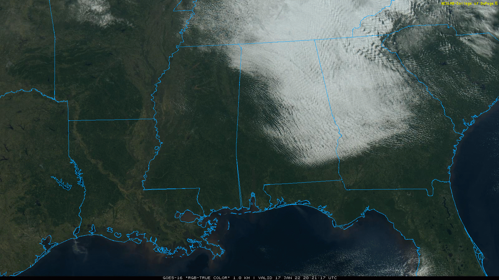
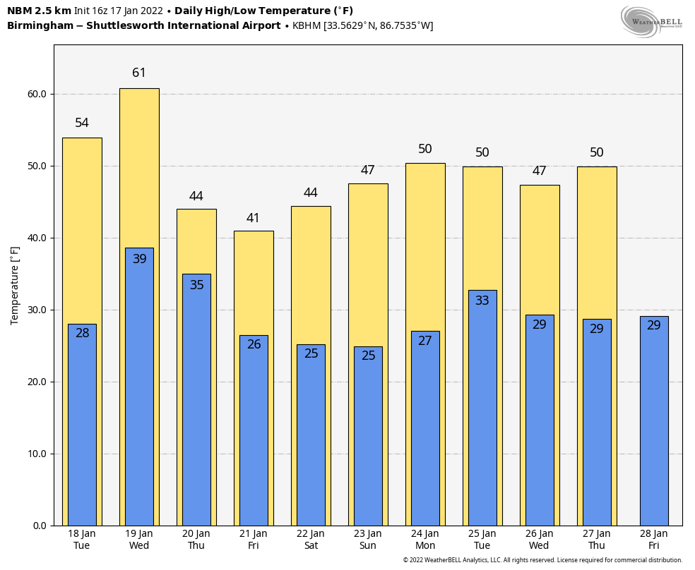
CLEARING: The sky is clearing across Alabama this afternoon… the western and southern counties are enjoying lots of sunshine with temperatures in the 40s. However, clouds linger over some northern and eastern counties where temperatures are stuck in the 30s. Those lingering clouds will move out this evening, and the sky will be mostly clear statewide tonight, and temperatures will drop into the 20s early tomorrow morning.
Tomorrow will be a sunny day with a high in the mid 50s, very close to seasonal averages for mid-January.
WEDNESDAY/THURSDAY: Clouds move back into the state Wednesday, and temperatures will rise into the 55-60 degree range. Rain enters the northwest part of the state by afternoon, and rain is likely statewide Wednesday night as the front passes through.
Much colder air spills into Alabama Thursday, and there is a chance of some light wintry precipitation during the morning hours on the back side of the front over the northern counties. Some North Alabama communities could see some light sleet or snow flurries Thursday morning in the cold air, but at this point it looks like temperatures will be generally above freezing and no impact is expected. Otherwise, Thursday will be mostly cloudy and cold with temperatures holding in the 30s all day over the northern half of the state.
FRIDAY THROUGH SUNDAY: The forecast is about as clear as mud thanks to model inconsistencies. But, the pattern favors a wave of low pressure forming on the front over the northern Gulf of Mexico, which will bring rain, and maybe some snow to Alabama in the Friday/Saturday time frame. Global model ensembles support the idea, but it is simply way too early to call the specifics. We will have much better clarity over the next 48 hours in terms of timing, the potential rain/snow line, and impact. Whatever develops Friday or Saturday will be gone by Sunday… the day should be mostly sunny with a high in the mid to upper 40s.
NEXT WEEK: The pattern favors below average temperatures much of next week, and for now much of the week looks dry. Highs will be in the 45-52 degree range, with lows in the 20s and low 30s. See the Weather Xtreme video for maps, graphics, and more details.
ON THIS DATE IN 1994: On January 17, 1994, at 4:31 a.m. PST, a magnitude 6?.7 earthquake centered in Northridge struck the southern California area. Known as the Northridge Earthquake, it caused at least 57 fatalities (a subsequent study put the death toll at 72, including heart attacks) and injured thousands.
ON THIS DATE IN 1999: A total of 22 tornado tornadoes touched down across parts of Arkansas, Mississippi, and Tennessee. The most violent was an F4 tornado that tracked across southern Jackson, Tennessee, damaging more than 200 homes and 55 buses. The storm killed six people and injured 106.
BEACH FORECAST: Click here to see the AlabamaWx Beach Forecast Center page.
WEATHER BRAINS: Don’t forget you can listen to our weekly 90 minute show anytime on your favorite podcast app. This is the show all about weather featuring many familiar voices, including our meteorologists here at ABC 33/40.
CONNECT: You can find me on all of the major social networks…
Look for the next Weather Xtreme video here by 6:00 a.m. tomorrow…
Category: Alabama's Weather, ALL POSTS, Weather Xtreme Videos
About the Author (Author Profile)
James Spann is one of the most recognized and trusted television meteorologists in the industry. He holds the AMS CCM designation and television seals from the AMS and NWA. He is a past winner of the Broadcast Meteorologist of the Year from both professional organizations.Subscribe
If you enjoyed this article, subscribe to receive more just like it.


