Midday Nowcast: Sunny, Fantastic Friday
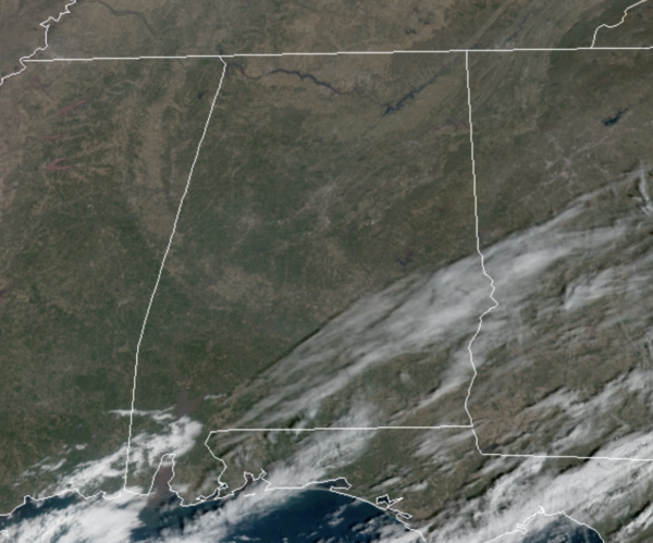
Lots of sunshine and blue sky across Alabama this afternoon, and our temperatures are about ten degrees above average with mid 60s to low 70s across the state. There are some clouds over South and Southeast Alabama, but those will exit the state later today. Enjoy the weather today, because we are in store for some big weather changes this weekend. Tonight will feature passing clouds and lows in the low to mid 40s.
WEEKEND WEATHER: Tomorrow will start off dry, and we should warm into the upper 50s and lower 60s, but during the day tomorrow, a cold front will move through the state. We will see an increase in clouds, but it will be moisture starved so it should pass through mainly in dry fashion, however we will mention the smallest chance for a shower as the front moves through. Behind the front our winds will increase out of the northwest and temperatures will begin to drop and will likely be in the 40s by late tomorrow afternoon. Tomorrow night will be clear and cold with lows falling into the mid 20s. Sunday will feature tons of sunshine and cold temperatures; mid 40s. It will remain breezy at times, making it feel colder.
QUIET START TO WEEK: Expect sunny, dry days Monday through Wednesday with a warming trend; we reach the low 50s Monday, low 60s Tuesday, followed by upper 60s Wednesday.
RAIN/STORMS TO END WEEK: By next Thursday a very dynamic weather system will bring rain and thunderstorms back to Alabama. This system looks like it will bring the potential for strong to severe thunderstorms to Alabama and much of the Deep South.
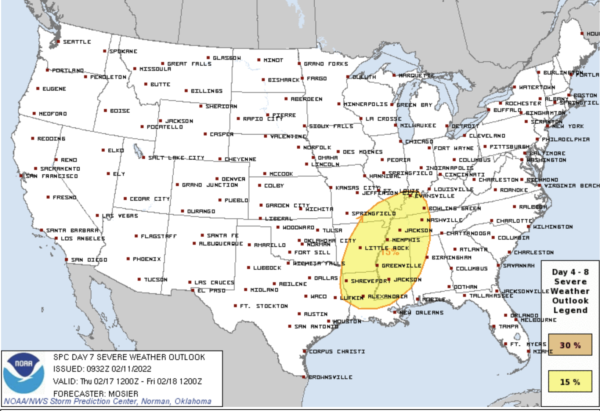
The SPC has already highlighted much of the Deep South in a risk for severe storms next Thursday and Thursday night…It is way too early to know any specifics about threats and timing, but it is definitely something we will keep out eyes on next week.
BEACH FORECAST CENTER: Get the latest weather and rip current forecasts for the beaches from Fort Morgan to Panama City on our Beach Forecast Center page. There, you can select the forecast of the region that you are interested in visiting.
WORLD TEMPERATURE EXTREMES: Over the last 24 hours, the highest observation outside the U.S. was 111.2F at Esperance Aerodome, Australia. The lowest observation was -66.5F at Kuglutuk Climate, Nunavut, Canada.
CONTIGUOUS TEMPERATURE EXTREMES: Over the last 24 hours, the highest observation was 91F at Vista, CA. The lowest observation was -6F at Rolla, ND.
WEATHER ON THIS DATE IN 2004: North Dakota Governor John Hoeven declares a snow emergency as winds gusting over 70 mph along with heavy snow produces low visibilities and drifts up to 20 feet in northwestern North Dakota. Amtrak train service is interrupted in the region.
Category: Alabama's Weather, ALL POSTS
About the Author (Author Profile)
Macon, Georgia Television Chief Meteorologist, Birmingham native, and long time Contributor on AlabamaWX. Stormchaser. I did not choose Weather, it chose Me. College Football Fanatic. @Ryan_StinnetSubscribe
If you enjoyed this article, subscribe to receive more just like it.


