Dry, Mild Tomorrow; Storms Return Friday
**No afternoon Weather Xtreme video today**
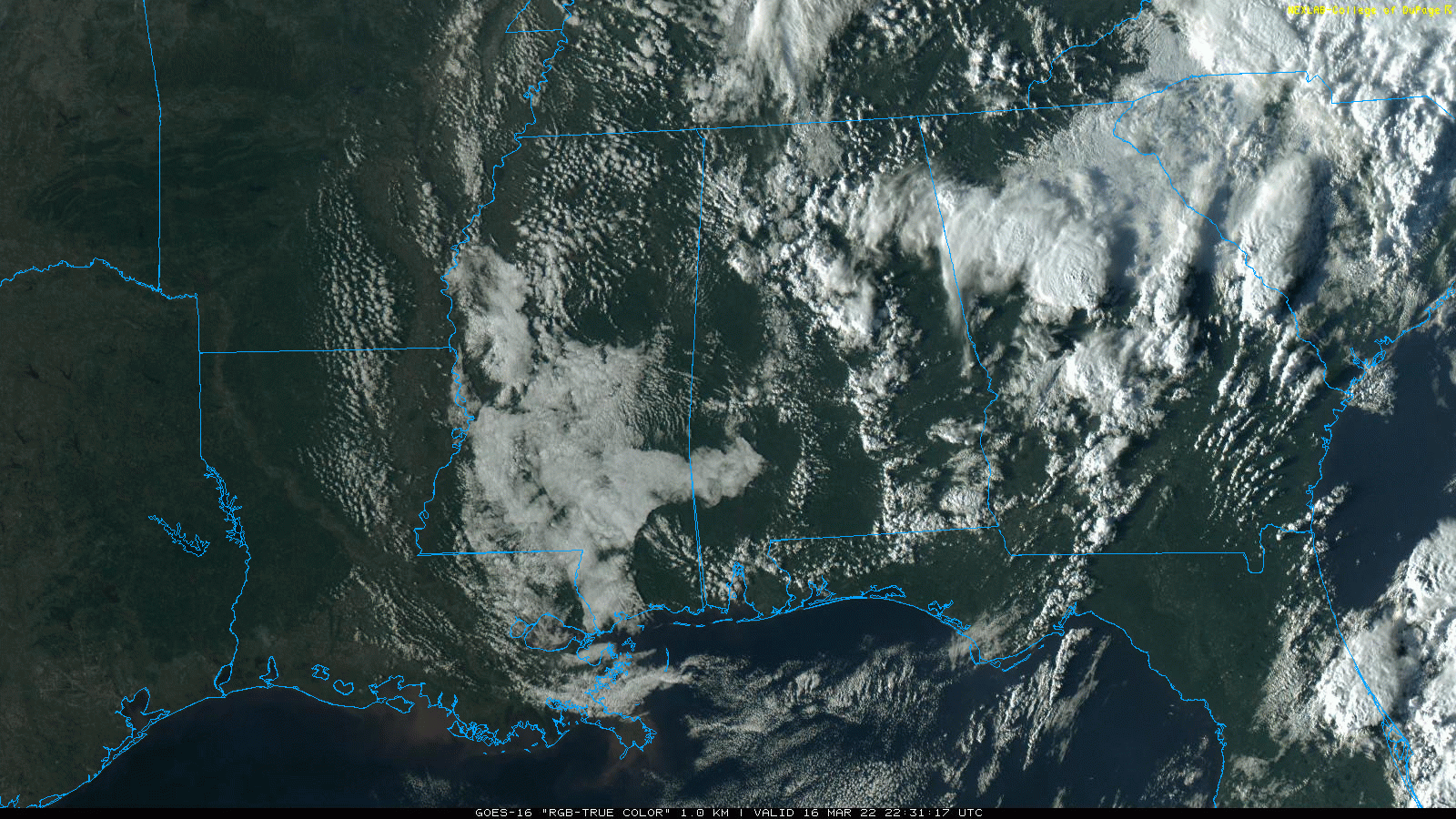
BUSY AFTERNOON: A cold core upper low has been moving across Alabama today, producing storms with hail and torrential rain. Flash flooding developed in the city of Birmingham (especially on the Southside) this afternoon… radar suggests rain amounts of 3-4 inches came down there since midnight. Showers and storms will fade away tonight as the upper low moves into Georgia.
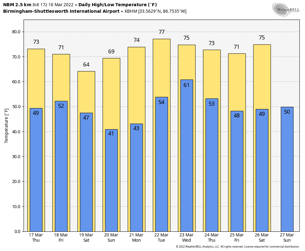
Tomorrow will be dry and warmer; with a partly sunny sky temperatures will rise into the mid 70s by afternoon.
STORMS RETURN FRIDAY: An organized mass of thunderstorms is forecast to move through Alabama Friday morning ahead of a cold front. Storms could be severe, mainly over the southern half of the state, where SPC maintains a “slight risk” (level 2/5). A “marginal risk” (level 1/5) covers North/Central Alabama Friday.
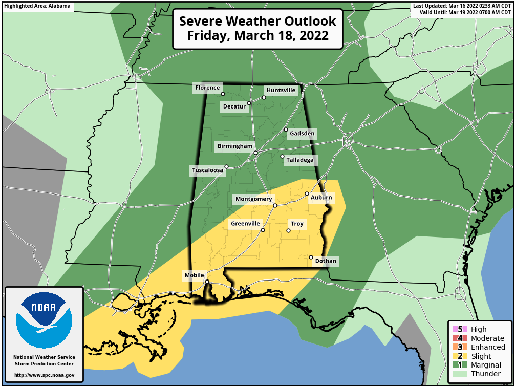
Storms Friday morning could produce strong winds, and a couple of tornadoes, mainly over the southern half of the state. Then, another line of storms will likely move through later in the day and Friday evening along the actual cold front. This second round will be a conditional severe weather threat… it all depends on if the air can recover from the morning storms. The high Friday will be close to 70 degrees.
THE WEEKEND: Look for sunny pleasant days and fair cool nights over the weekend. The high Saturday will be in the mid 60s, followed by low 70s Sunday. The low early Saturday morning will be in the 40s… temperatures drop into the 30s early Sunday when some frost is possible in scattered spots.
NEXT WEEK: Monday will be dry and mild with a high in the 70s… and most of the day Tuesday should be dry. A vigorous weather system will bring rain and storms late Tuesday night and Wednesday, and there will most likely be potential for severe thunderstorms across most of Alabama. SPC has the far western counties of the state in a severe weather risk in their “Day 7” outlook which runs through early Wednesday morning. It is simply too early to know the magnitude, placement, and timing of the event… just something to watch in coming days. The weather will be dry and pleasant Thursday and Friday.
ON THIS DATE IN 1942: A major tornado outbreak was underway across parts of the central and southern U.S….. with a total of 26 significant tornadoes, including five violent ones and 18 killers would cause 148 fatalities from Illinois and Indiana, through Kentucky and Tennessee into Mississippi and Alabama. The Mississippi Delta towns of Itta Bena and Greenwood were hit around 3 p.m. by a family of twisters that killed 63 people. Five automobiles were hurled into the Tallahatchie River near Greenwood, killing six. Two school buses were hit. The hospital at Grenada was missed by just 20 yards, even as doctors and nurses worked on patients from the first big tornado.
Just after 5 p.m., a powerful tornado struck the northern part of Baldwyn, Mississippi, north of Tupelo. The F4 tornado killed five people. Even as rescuers were digging through the rubble of over 50 destroyed homes, a second tornado roared into the town a scant one half hour later. No one died in the second tornado, although it destroyed twenty five percent of the business district. The twin tornadoes that struck Baldwyn were the subject of tornado legend for many years.
In Alabama, a tornado killed a couple at Waterloo in Lauderdale County around 6 p.m. Their bodies were blown over 200 yards.
BEACH FORECAST: Click here to see the AlabamaWx Beach Forecast Center page.
WEATHER BRAINS: Don’t forget you can listen to our weekly 90 minute show anytime on your favorite podcast app. This is the show all about weather featuring many familiar voices, including our meteorologists here at ABC 33/40.
CONNECT: You can find me on all of the major social networks…
Look for the next Weather Xtreme video here by 6:00 a.m. tomorrow…
Category: Alabama's Weather, ALL POSTS, Weather Xtreme Videos
About the Author (Author Profile)
James Spann is one of the most recognized and trusted television meteorologists in the industry. He holds the AMS CCM designation and television seals from the AMS and NWA. He is a past winner of the Broadcast Meteorologist of the Year from both professional organizations.Subscribe
If you enjoyed this article, subscribe to receive more just like it.


