Heat Advisory Remains In Effect; Lower Humidity Levels By The Weekend
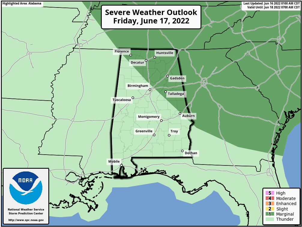
HOT: A heat advisory remains in effect for all of Alabama today; we project a high in the 94-99 degree range with a partly to mostly sunny, hazy sky. An afternoon storms will be few and far between. Not much change tomorrow, although storms could be a little more numerous over the northern half of the state late in the day as a surface front approaches. SPC has parts of North and East Alabama in a “marginal risk (level 1/5) of severe thunderstorms for the potential for strong winds with the heavier thunderstorms that do form.
THE ALABAMA WEEKEND: Drier air works into the state tomorrow night, and the weekend will feature sunny days, lower humidity levels, and cooler nights. Cooler spots could dip into the 50s early Sunday morning… highs will be generally in the low 90s.
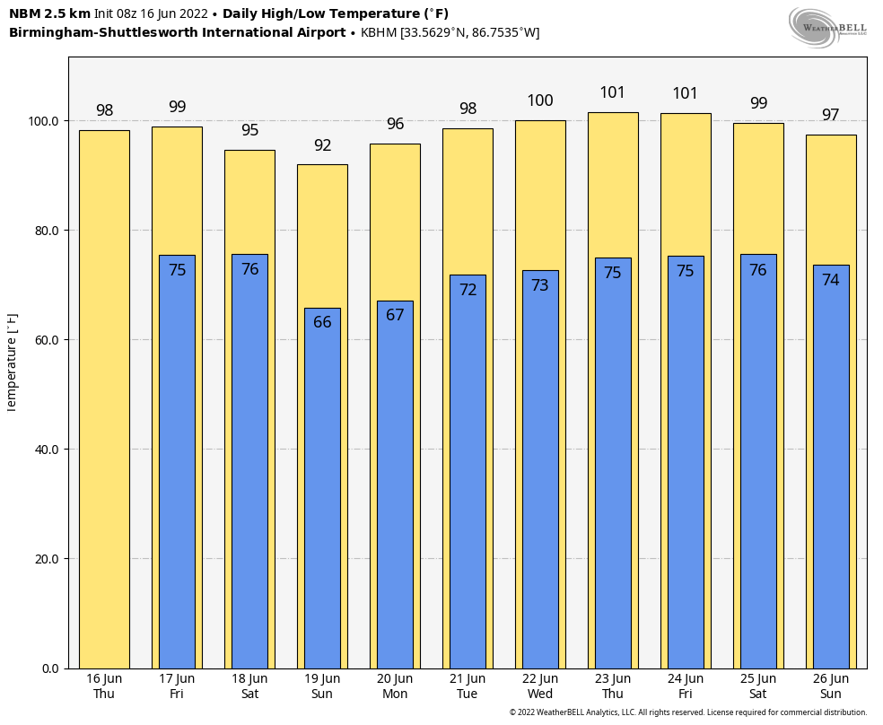
NEXT WEEK: Heat levels begin to rise again, and by the latter of the week temperatures will be flirting with 100 degrees across the state. There could very well be a day or two with a few afternoon and evening showers and storms around, but they will be pretty scare. Temperatures will likely remain above average through the rest of June as the upper ridge holds. See the Weather Xtreme video for maps, graphics, and more details.
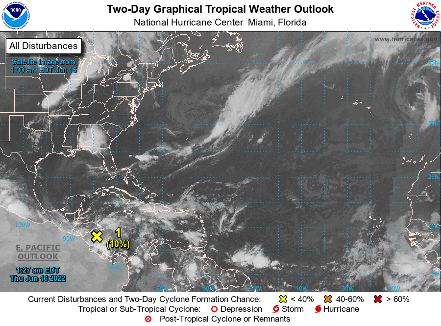
TROPICS: An area of low pressure located inland over northeastern Nicaragua is accompanied by a disorganized area of showers and thunderstorms. Additional development is unlikely today while the low remains inland. The system is forecast to move slowly northwestward and could emerge over the Gulf of Honduras where some development is possible by tomorrow. Some development is also possible over the southern Bay of Campeche by early next week. Regardless of development, locally heavy rainfall is possible over Nicaragua, Honduras, Belize, and southeastern Mexico through the weekend.
NHC gives the system a 20 percent chance of development over the next five days… the rest of the Atlantic basin, including the Gulf of Mexico, remains very quiet.
LAST NIGHT’S STORMS: An organized batch of storms moved into East Alabama last night from Georgia… these westward moving storms produced tree and power line damage across a number of counties; at one point over 35,000 Alabama Power customers were without service. Some of the most signifiant tree damage was reported over parts of Etowah, Calhoun, and Randolph counties. Evening storms produced wind damage in the Bluff Park community of Hoover, in the Birmingham metro.
ON THIS DATE IN 1806: The great American total solar eclipse occurred from California to Massachusetts, nearly five minutes in duration.
BEACH FORECAST: Click here to see the AlabamaWx Beach Forecast Center page.
WEATHER BRAINS: Don’t forget you can listen to our weekly weather show all about weather anytime on your favorite podcast app. James Spann and a team of meteorologists from around the nation bring on interesting guests; a great podcast for weather geeks/dweebs/weenies.
CONNECT: You can find me on all of the major social networks…
Look for the next Weather Xtreme video here by 3:00 this afternoon… enjoy the day!
Category: Alabama's Weather, ALL POSTS, Weather Xtreme Videos
About the Author (Author Profile)
James Spann is one of the most recognized and trusted television meteorologists in the industry. He holds the AMS CCM designation and television seals from the AMS and NWA. He is a past winner of the Broadcast Meteorologist of the Year from both professional organizations.Subscribe
If you enjoyed this article, subscribe to receive more just like it.


