Coldest Air So Far This Season Arrives Tonight
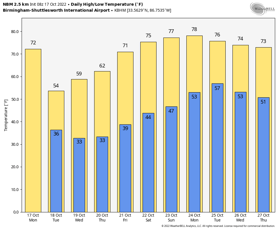
SHARPLY COLDER: A cold front is pushing through Alabama in dry fashion this morning, and it will be followed by the coldest air so far this season. Today will be mostly sunny with a cool northwest wind of 10-20 mph; the high will be in the 66-71 degree range over North Alabama, with mid 70s for the southern counties of the state.
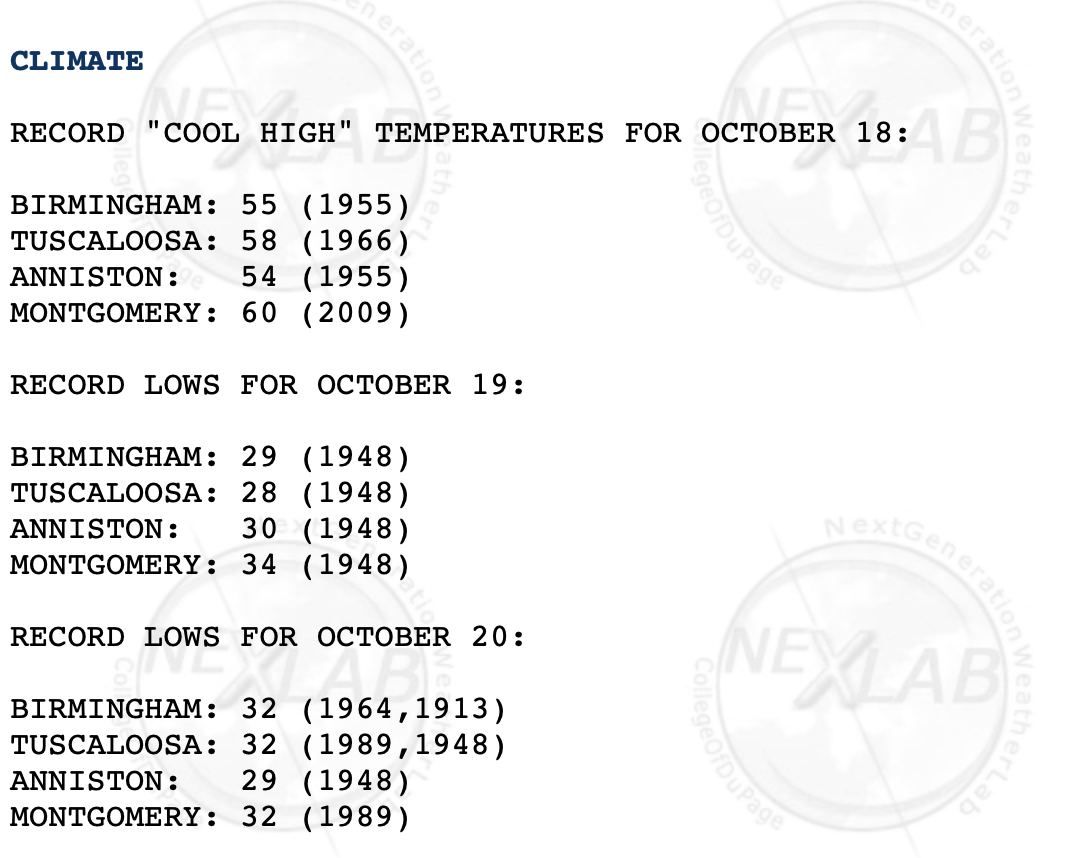
TONIGHT: A freeze warning has been issued for areas along and north of U.S. 278… north of a line from near Hamilton to Cullman to Gadsden. Temperatures here will drop into the 28-32 degree range; a north wind of 7-14 mph will keep frost from becoming too widespread. Temperatures will drop into the mid to upper 30s down into South Alabama.
TOMORROW: The day will be sunny, breezy, and very cool with highs only in the 52-58 degree range over the northern half of the state, with low 60s for the southern counties. We will be close to setting new record low maximum temperatures.
TOMORROW NIGHT: The wind will go calm, allowing for strong radiational cooling. A freeze watch has been issued all the way to I-10, including Mobile. A freeze warning. By daybreak Wednesday, temperatures will drop into the 20s over the northern third of Alabama, with a freeze possible deep into South Alabama. Frost will be widespread, and this will effectively end the growing season for most of the state. New record lows are possible in many areas.
REST OF THE WEEK: Wednesday will be another sunny and cool day with a high between 57 and 61 degrees. Another freeze is possible Thursday morning for many areas, then a warming trend begins Thursday afternoon as temperatures rise into the mid 60s. Friday will be a sunny day with a high at or just over 70 degrees.
THE ALABAMA WEEKEND: The warming trend continues; highs will be in the mid 70s over the weekend with a sunny sky both days. Lows will be in the 40s and 50s.
NEXT WEEK: Moisture begins to return Tuesday, and showers and a few thunderstorms return to the state Tuesday. The rest of the week will be dry; highs will be in the 70s. See the daily Weather Briefing video for maps, graphics, and more details.
TROPICS: The Atlantic basin is very quiet, and tropical storm formation is not expected for at least the next five days.
ON THIS DATE IN 1910: A category 4 hurricane moved north-northeast, passing just east of the Dry Tortugas. The maximum storm surge observed in Key West was 8 feet, with 15-foot waves at what is now Fort Zachary Taylor State Park.
ON THIS DATE IN 1971: Great balls of fire were observed just ahead of a tornado moving down the main street of Wray, Colorado. However, little other electrical activity accompanied the storm. Nine people were injured in the storm, all at a trailer court at the edge of town.
BEACH FORECAST: Click here to see the AlabamaWx Beach Forecast Center page.
Look for the next Weather Briefing video here by 3:00 this afternoon… enjoy the day!
Category: Alabama's Weather, ALL POSTS, Weather Xtreme Videos
About the Author (Author Profile)
James Spann is one of the most recognized and trusted television meteorologists in the industry. He holds the AMS CCM designation and television seals from the AMS and NWA. He is a past winner of the Broadcast Meteorologist of the Year from both professional organizations.Subscribe
If you enjoyed this article, subscribe to receive more just like it.


