Freezing Temps Late Tonight; Showers By The Weekend
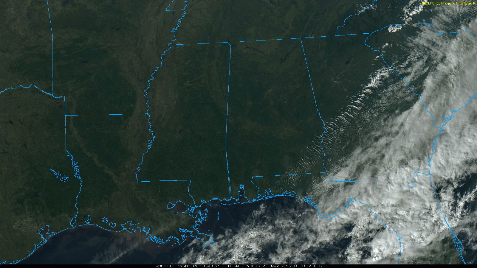
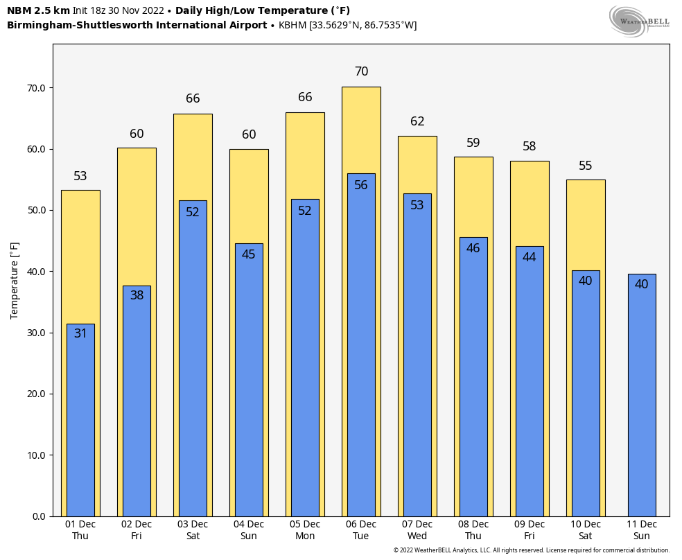
DRY AIR RETURNS: The sky is sunny across Alabama this afternoon… temperatures range from the upper 40s over the Tennessee Valley to the 60s over the southern third of the state. Tonight will be clear cold… look for a low in the 27-32 degree range over the northern counties.
Tomorrow will be a sunny day with a high between 55 and 60 degrees. The weather stays dry Friday, but clouds increase late in the day… the high will be in the 60s.
THE WEEKEND: A surface front will drop into the state and become stationary over the weekend, meaning a mostly cloudy sky Saturday and Sunday with occasional showers both days. Understand the weekend won’t be a “washout”, and there is no risk of severe storms (and probably little thunder)… but be ready for some rain at times if you have something planned outdoors. Highs will remain in the 60s.
NEXT WEEK: With the stalled front around, the weather will remain somewhat unsettled over the first half of the week with a chance of showers Monday through Wednesday. Afternoon highs will remain above average, generally in the 68-72 degree range. Cooler, drier air returns Thursday and Friday… See the daily Weather Briefing video for maps, graphics, and more details.
NWS SURVEYS: The tornado that stuck Eutaw in Greene County last night has been rated EF-1, and the tornado north of Montgomery in the Flatwood community early this morning has been rated EF-2. Survey work will continue for a few days.
HURRICANE SEASON ENDS TODAY: In total, this hurricane season produced 14 named storms (winds of 39 mph or greater), of which eight became hurricanes (winds of 74 mph or greater) and two intensified to major hurricanes with winds reaching 111 mph or greater. An average hurricane season has 14 named storms, seven hurricanes and three major hurricanes.
The 2022 season saw three hurricane landfalls along the coast of the U.S. mainland. Hurricane Ian made landfall first as a Category 4 storm in Cayo Costa, Florida, and again as a Category 1 in Georgetown, South Carolina. As a Category 4 with 150 mph maximum sustained winds, Hurricane Ian tied for the fifth-strongest hurricane ever to make landfall in the U.S. Hurricane Nicole made landfall as a Category 1 in north Hutchinson Island, Florida.
ON THIS DATE IN 1925: An extremely rare late November hurricane began to affect the west coast of Florida as it strengthened during the day. The storm made landfall very early on December 1st south of Tampa Bay, weakened to a tropical storm as it crossed central Florida, and exited around St. Augustine. The storm regained Hurricane strength off Jacksonville late on the 1st. Heavy rain continued over northeast Florida on the 2nd. Gale force winds were reported from the Keys to Jacksonville and over 50 people lost their lives, mostly on ships at sea. Damage along the coast south of Jacksonville was heavy and excessive rain and wind seriously damaged citrus and truck crops.
BEACH FORECAST: Click here to see the AlabamaWx Beach Forecast Center page.
Look for the next Weather Briefing video here by 6:00 a.m. tomorrow…
Category: Alabama's Weather, ALL POSTS, Weather Xtreme Videos
About the Author (Author Profile)
James Spann is one of the most recognized and trusted television meteorologists in the industry. He holds the AMS CCM designation and television seals from the AMS and NWA. He is a past winner of the Broadcast Meteorologist of the Year from both professional organizations.Subscribe
If you enjoyed this article, subscribe to receive more just like it.


