Midday Nowcast: Clearing Sky
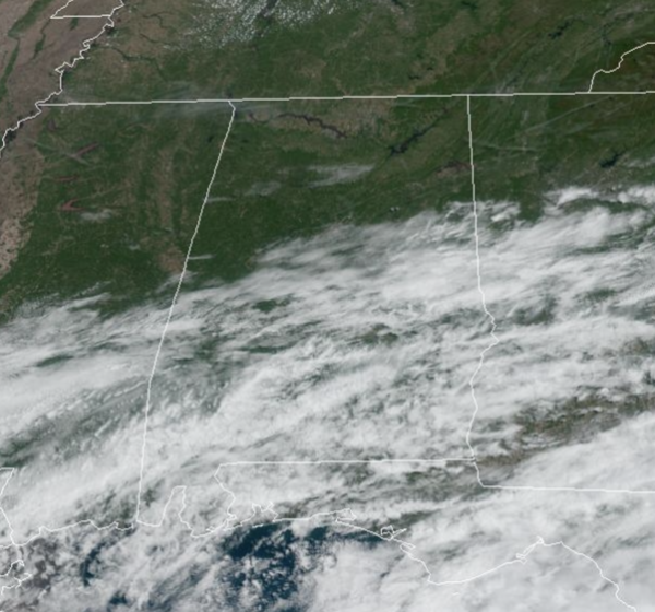
It is a nice spring day across North/Central Alabama…The showers from this morning down south have ended and the sky is featuring more sunshine than clouds. Temperatures are several degrees below average with upper 60s and lower 70s. Average highs this time of year are in the upper 70s. Tomorrow will be a dry day; with a partly sunny sky the high will be in the low to mid 70s for most communities. Clouds will increase late in the day as a wetter pattern sets up for the rest of the week.
WET AT TIMES: Rain returns Wednesday and Thursday with periods of rain statewide. Thunderstorms could be involved, especially Thursday when the air becomes unstable. A few strong storms can’t be ruled out, but of now, no part of Alabama is highlighted in a severe weather risk, but of course that could change in the coming days. The weather trends drier Friday as rain should be moving out early in the day. Highs will be generally in the low to mid 70s.
WEEKEND WEATHER: Yet another wave will bring rain and a few thunderstorms back to the state Saturday and Saturday night. This won’t be an all-day kind of rain, but it will continue to be wet at times with a highs in the low to mid 70s. Showers will taper off early Sunday, but clouds will likely linger much of the day with cooler afternoon highs only in the 60s, which again will be ten to fifteen degrees below average.
NEXT WEEK: For now it looks like the primary chance of rain during the week will come late Tuesday, Tuesday night, into part of the day Wednesday. Highs will be mostly in the 70s Monday and Tuesday, with low 80s possible over the latter half of the week.
BEACH FORECAST CENTER: Get the latest weather and rip current forecasts for the beaches from Fort Morgan to Panama City on our Beach Forecast Center page. There, you can select the forecast of the region that you are interested in visiting.
WORLD TEMPERATURE EXTREMES: Over the last 24 hours, the highest observation outside the U.S. was 114.8F at N’Guigmi, Niger. The lowest observation was -94.9F Vostok, Antarctica.
CONTIGUOUS TEMPERATURE EXTREMES: Over the last 24 hours, the highest observation was 102F at Yuma, AZ. The lowest observation was 3F at Peter Sinks, UT.
Category: Alabama's Weather, ALL POSTS
About the Author (Author Profile)
Macon, Georgia Television Chief Meteorologist, Birmingham native, and long time Contributor on AlabamaWX. Stormchaser. I did not choose Weather, it chose Me. College Football Fanatic. @Ryan_StinnetSubscribe
If you enjoyed this article, subscribe to receive more just like it.


