Dry Tomorrow; Rain Returns Wednesday/Thursday
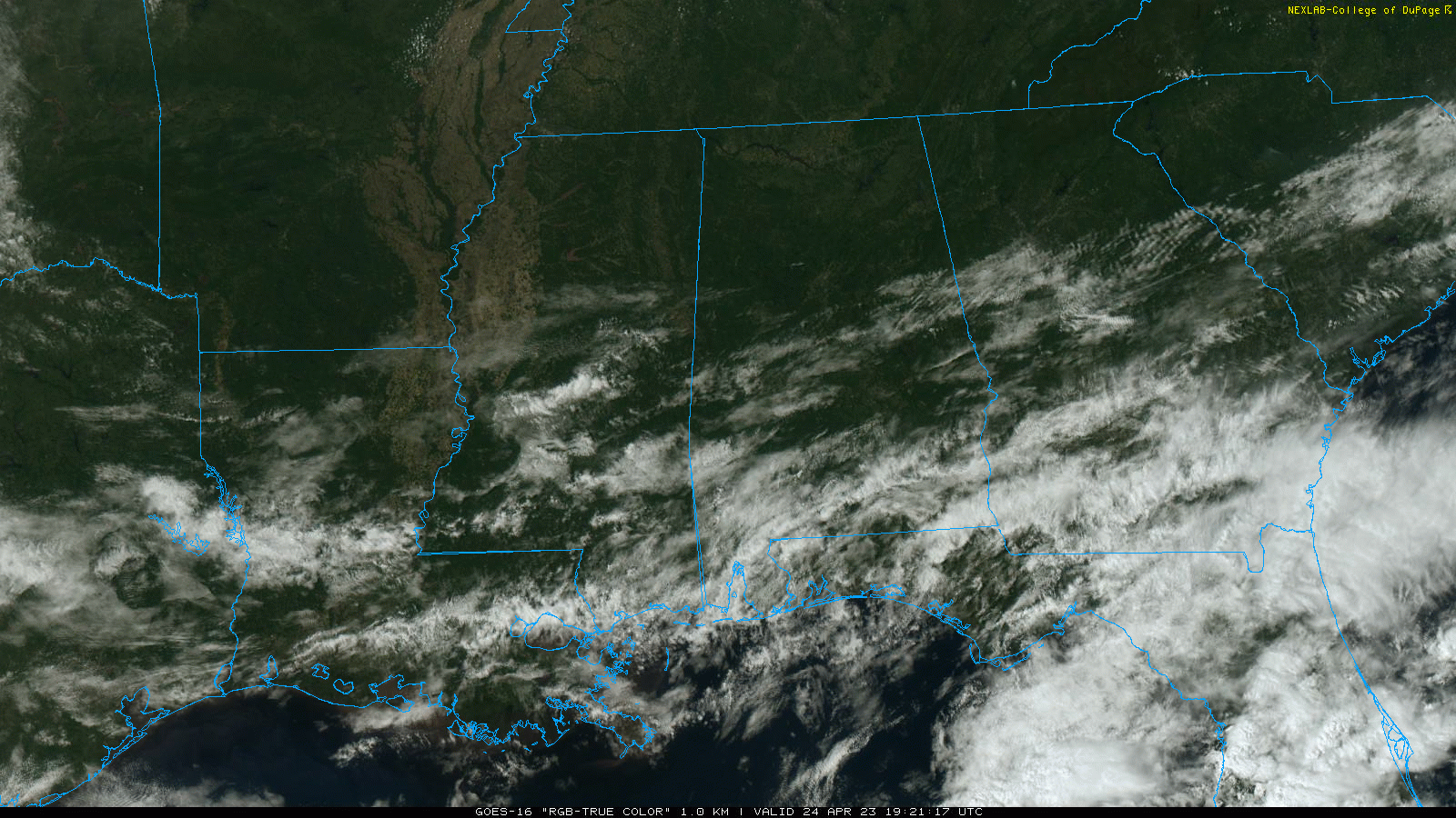
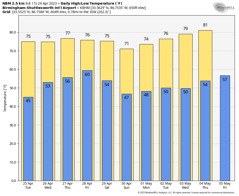
CALM APRIL DAY: We have sunshine in full supply over the northern half of Alabama this afternoon with temperatures inn the 60s, about 10-15 degrees below average for late April. Some clouds linger over the southern counties of the state where a few sprinkles are still showing up on radar, but those will end this evening. Tonight will be mostly fair and very cool with a low in the 40s. Colder pockets over North Alabama could reach the upper 30s early tomorrow.
Tomorrow will be a dry day with a partly sunny sky… expect a high in the low 70s.
WEDNESDAY THROUGH FRIDAY: Wet weather returns Wednesday and Thursday with periods of rain statewide. Thunderstorms could be involved, especially Thursday when the air becomes unstable. A few strong storms can’t be ruled out on Thursday. The weather trends drier Friday as rain should be moving out early in the day. Highs will be generally in the low to mid 70s.
THE ALABAMA WEEKEND: Yet another wave will bring rain and a few thunderstorms back to the state Saturday and Saturday night. This won’t be an all-day kind of rain, but it will be wet at times with a high in the 71-75 degree range. Showers will taper off early Sunday, but clouds will likely linger much of the day over the northern half of the state with highs dropping into the 60s. South Alabama should see a decent amount of sun Sunday.
NEXT WEEK: Global models have trended drier, but we will still mention a chance of showers late Tuesday, Tuesday night, into part of the day Wednesday. Highs will be mostly in the 70s. See the video briefing for maps, graphics, and more details.
ON THIS DATE IN 1908: At least 34 tornadoes touched down generally east of the Mississippi River from April 23 through April 26, 1908. These tornadoes generally occurred from Texas to Georgia, then northward from Oklahoma to Tennessee. The violent storms killed at least 320 people and injured over a thousand citizens. One of the hardest hit communities was Purvis, Mississippi, where the town was completely leveled and 55 citizens lost their lives. At least four tornadoes touched down in Alabama during this outbreak of severe weather. These tornadoes were responsible for approximately 48 fatalities and at least 260 injuries.
ON THIS DATE IN 2010: Over a dozen tornadoes touched down in Alabama, including an EF4 that struck southeastern DeKalb County in the Mount Vernon area. An EF3 tornado touched down in south Albertville. Throughout the event, the tornado skipped and hit other places along its path from Marshall County to Geraldine in DeKalb County. Another EF3 tornado touched down in Parrish and tracked through Cordova and Corner. Significant damage to buildings occurred in Parrish and Cordova, while Corner and Blount County primarily suffered uprooted or broken trees.
To the west on the same day, a long-lived twister left a trail of destruction extending over 149 miles from Louisiana through Mississippi, resulting in 10 deaths and 75 injuries. This EF4 storm, which grew to a width of 1.75 miles, sported the fourth longest track in Mississippi history. This storm destroyed part of Yazoo City.
Look for the next video briefing here by 6:00 a.m. tomorrow…
Category: Alabama's Weather, ALL POSTS, Weather Xtreme Videos
About the Author (Author Profile)
James Spann is one of the most recognized and trusted television meteorologists in the industry. He holds the AMS CCM designation and television seals from the AMS and NWA. He is a past winner of the Broadcast Meteorologist of the Year from both professional organizations.Subscribe
If you enjoyed this article, subscribe to receive more just like it.


