Midday Nowcast: Classic Summer Weather
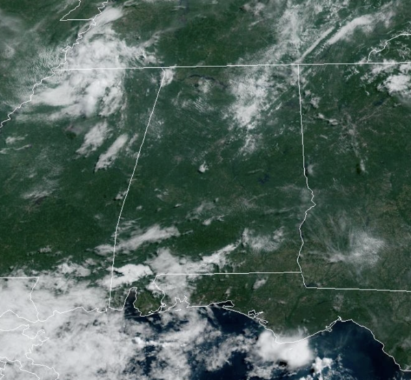
Little change in the day to day forecast for Alabama…expect a mix of sun and clouds with highs in the low 90s. The radar gets active during the afternoon and evening hours, with some strong storms possible and a few of them could become locally severe with strong, gusty winds and hail…BIG HEAT, BIG STORMS. The storms will be random and scattered, so it won’t rain everywhere…where the storms form they will produce tremendous amounts of lightning and heavy rainfall. Again, storm placement is random, there is no way of knowing where the storms will develop, you just have to watch radar trends each day.
USA BRIEF: Strong to severe storms and heavy rain are expected from the north-central High Plains into the central Plains the next few days. Heat advisories and excessive heat warnings are in effect for several locations across the Lower 48 with some concern of a long-term heat wave in parts of the Southwest and Southern U.S. Air quality issues persist in multiple locations, especially major metro areas.
WEEKEND & NEXT WEEK: More of the same with partly sunny, hot, humid weather Saturday and Sunday with the chance of random, scattered afternoon and evening storms. Chance of any one spot getting wet both days is 40-50 percent, highs will be in the low 90s for most communities. This pattern will persist into next week, but we continue to monitor forecast model output on whether the upper ridge across the Deep South could be bit stronger next week. If that is the case, heat levels will be rising, and coverage of afternoon storms dropping. Highs will be in the low to mid 90s.
IN THE TROPICS: All is quiet with no development expected the next seven days in the Gulf of Mexico, the Caribbean Sea, and across the Atlantic.
BEACH FORECAST CENTER: Get the latest weather and rip current forecasts for the beaches from Fort Morgan to Panama City on our Beach Forecast Center page. There, you can select the forecast of the region that you are interested in visiting.
WORLD TEMPERATURE EXTREMES: Over the last 24 hours, the highest observation outside the U.S. was 121.1F at Adrar, Algeria. The lowest observation was -94.4F Amundsen-Scott South Pole Station, Antarctica.
CONTIGUOUS TEMPERATURE EXTREMES: Over the last 24 hours, the highest observation was 116F at Stovepipe Wells, CA. The lowest observation was 29F at Big Piney, WY.
WEATHER ON THIS DATE IN 1985: Lightning struck a large transformer in Salt Lake County sending a 200 foot fireball into the air and blacking out almost the entire state for up to five hours.
Category: Alabama's Weather, ALL POSTS
About the Author (Author Profile)
Macon, Georgia Television Chief Meteorologist, Birmingham native, and long time Contributor on AlabamaWX. Stormchaser. I did not choose Weather, it chose Me. College Football Fanatic. @Ryan_StinnetSubscribe
If you enjoyed this article, subscribe to receive more just like it.


