Sunday Afternoon Update
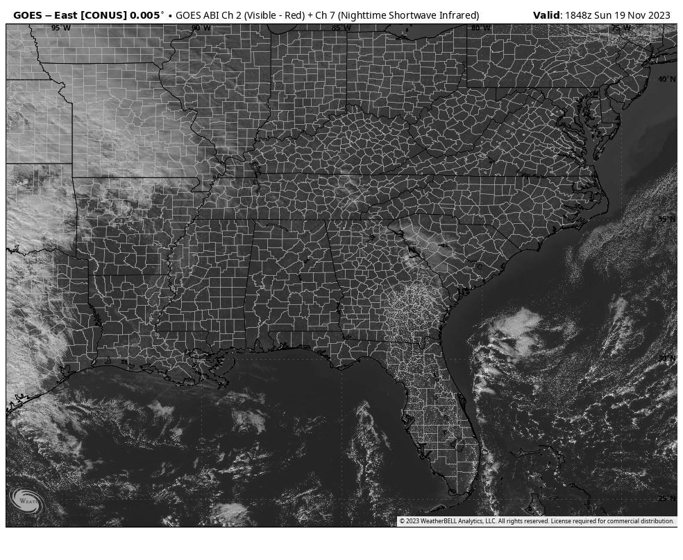
It is a beautiful Sunday across Alabama with nary a cloud in the sky. A few high clouds may reach the Tennessee Valley by late afternoon and clouds will increase across the area overnight.
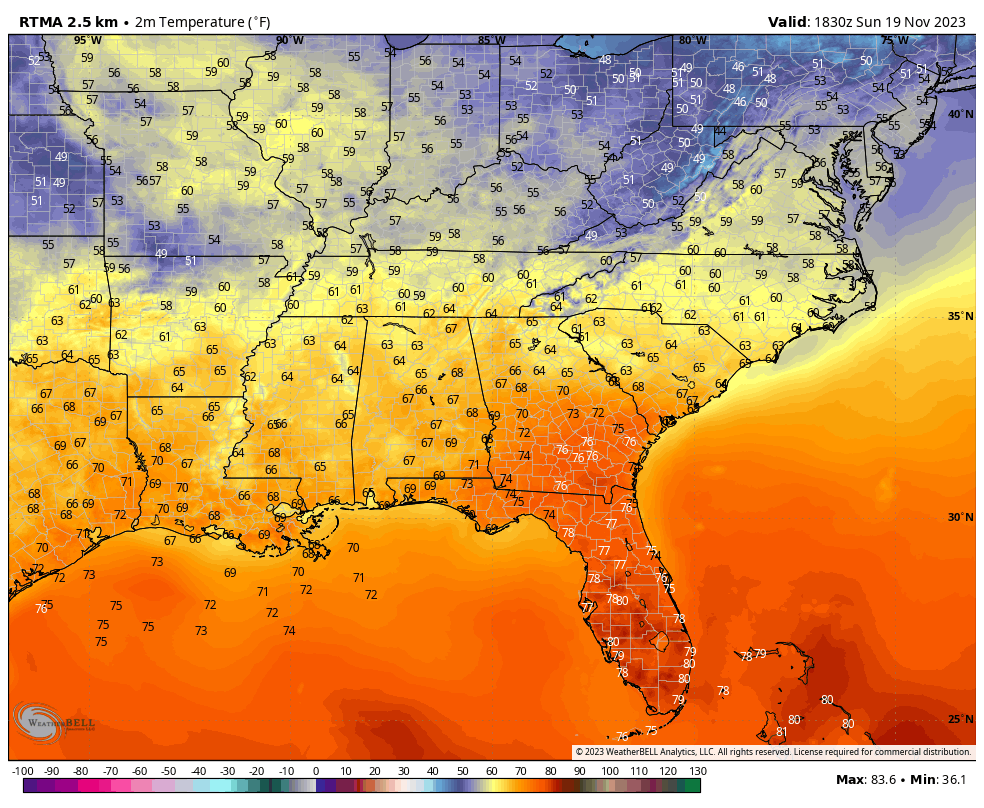
Temperatures are in the 60s across the area, heading for highs in the upper 60s and lower 70s.
Expect variable clouds tomorrow, with a few periods of sunshine thrown in. Winds could gust to over 30 mph at times. Rain and storms will arrive tomorrow night ahead of a cold front. The storms will become severe west of Alabama over northern Louisiana and the Mississippi Delta with the potential for a couple of tornadoes in those area. The system should be weakening as it moves into Alabama, but if it arrives a little earlier than original prognosticated, the chance of severe weather might be a little higher over West Central Alabama tomorrow night.
The storms will progress across ALabama Tuesday and the severe weather threat could continue mainly south of I-20.
Wednesday will be cooler with highs in the 50s. Clouds will briefly thin but return overnight.
Thursday should be mostly cloudy but dry until the evening when showers will return. The rain will move out early Friday with some clearing during the day. highs still in the 0s.
Iron Bowl Saturday: I think it will be a nice day with a good supply of sunshine. Highs near 60F.
A few showers will return on Sunday.
Category: Alabama's Weather, ALL POSTS
About the Author (Author Profile)
Bill Murray is the President of The Weather Factory. He is the site's official weather historian and a weekend forecaster. He also anchors the site's severe weather coverage. Bill Murray is the proud holder of National Weather Association Digital Seal #0001 @wxhistorianSubscribe
If you enjoyed this article, subscribe to receive more just like it.


