Saturday Briefing — Winter Storm Watch Issued Ahead of Monday/Tuesday’s Mischief
THE CENTRAL ALABAMA WEEKEND
Saturday will start off very breezy as winds could gust up as high as 25 mph, especially before dawn. After that, skies will be sunny, and we’ll need all the sunshine we can get to help us stay warm as highs will only be in the mid 40s to the lower 50s. We’ll go even colder on Sunday as a cold front starts to work into the area, bringing with it some clouds. Afternoon highs ranging from the mid 30s in the northwest to the upper 50s in the southeast.
POTENTIAL FOR SOME WINTRY MISCHIEF
The front will continue to work into the area on Monday, and showers will be possible early for locations along and south of I-59, while some snow showers will be possible with some sleet north of that. Highs will be in the lower 30s to the upper 50s from northwest to southeast, but once we lose the sunshine, temperatures will drop into the mid 20s to the mid 40s by midnight. Overnight lows will bottom out in the mid-teens to the mid 30s.
Tuesday will start off with some snow flurries over the northern half of the area, while there will be a transition zone just south of I-20 where the precipitation will change into sleet, freezing rain, and eventually showers. It will remain very cold and become very breezy as well, even after it moves out, and we’re left with partly cloudy skies. Highs only in the lower 20s to the mid 40s.
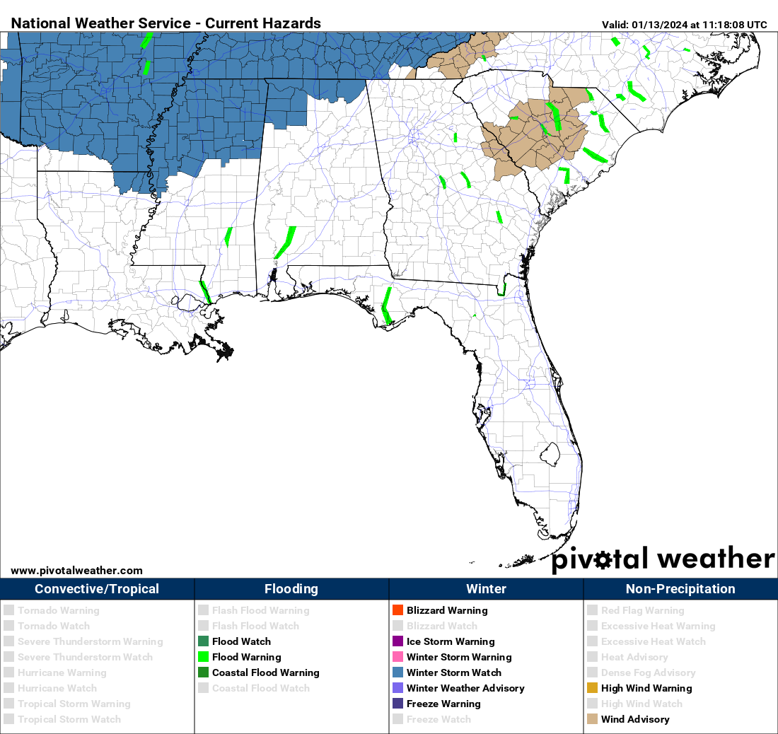
A Winter Storm Watch has been issued for Colbert, Franklin, Jackson, Lauderdale, Lawrence, Limestone, and Madison counties in North Alabama, and for Marion and Winston counties in Central Alabama. The watch for the North Alabama counties goes into effect at midnight Sunday night and is set to expire at 6 am Tuesday morning, while the watch for the Central Alabama counties will start at 6 am Monday and expire at 6 am Tuesday. Up to 4 inches of snow can be expected along with difficult travel conditions in the watch area. Heaviest totals look to be over the northwest corner of the state and along the Alabama/Tennessee state line. We’ll keep you updated through the weekend.
MIDWEEK THROUGH FRIDAY
Dangerous cold weather can be expected for Wednesday morning with early morning lows ranging from the mid single digits to the mid-teens across the area, and with mainly sunny skies, there will not be much of a recovery in those temperatures as highs only reach the lower 30s to the lower 40s. Another system will start to form off to our west on Thursday that will send clouds in our direction, and the possibility of a few showers late. Showers, and maybe some sleet mixed in, will remain possible through the day on Friday until high pressure forces the system out of the area by evening. Thursday will be warmer, but it still registers as very cool in my book, as highs only reach the lower 40s to the lower 50s. However, the “Polar Plunge” occurs on Friday as highs only reach the mid 30s to the lower 50s.
ON THIS DAY IN WEATHER HISTORY
1989… Friday the 13th was bad luck primarily for the south central U.S. as an upper level weather disturbance spread a mixture of snow and sleet and freezing rain across Texas and Oklahoma. Snowfall totals in central Oklahoma ranged up to 8.5 inches at Norman.
Category: Alabama's Weather, ALL POSTS, Weather Xtreme Videos, Winter Weather
About the Author (Author Profile)
Scott Martin is an operational meteorologist, professional graphic artist, musician, husband, and father. Not only is Scott a member of the National Weather Association, but he is also the Central Alabama Chapter of the NWA president. Scott is also the co-founder of Racecast Weather, which provides forecasts for many racing series across the USA. He also supplies forecasts for the BassMaster Elite Series events including the BassMaster Classic.Subscribe
If you enjoyed this article, subscribe to receive more just like it.


