

Sunday Afternoon Update: Most Spots Going Above Freezing Today
Mid and high clouds are moving across Alabama today as a ridge of high pressure aloft moves over the area.
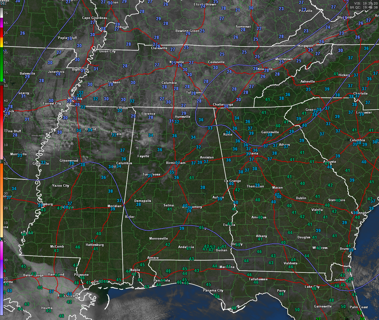
Temperatures at this hour range from 28F to 34F across the Tennessee Valley, with mostly middle 30s across North Central Alabama. South Central Alabama readings are nearing 40s.
Highs today will generally be in the upper 30s, to lower and middle 40s. One more cold night tonight with lows in the lower 20s up North, with a few teens thrown in, to middle 20s across Central Alabama.
Monday highs will be in the upper 40s North to middle and upper 50s Central as southeasterly winds strengthen and pull in warmer air.
Tuesday will see most folks in the 60s and everyone should be in the 60s Wednesday and Thursday. 70s will start to show up on the map in southern locations Wednesday and Thursday.
Rain should arrive in western and northern sections during the day Tuesday, but the main rains will be Wednesday and Thursday. The chance of severe weather looks very low, but hail could be an issue with a few of the stronger storms.
The rain will hang out until through Saturday it appears, with clearing Sunday. Temperatures will start edging back down by then.
Rainfall amounts should average 2 inches over the next 7 days, with some areas picking up 3-5 inches.
Parts of eastern Oklahoma, northwestern Arkansas, and southern Missouri are setting up for a significant ice storm tonight through Monday. Freezing rain accumulations will exceed .25 inches in southern and eastern Oklahoma from Ardmore and Durant to McAlester and Fort Smith AR. Ice storm warnings are in effect for Fort Smith, Fayetteville, and Russellville in Arkansas. Winter storm warnings cover areas from Southeast Oklahoma into Northwest Arkansas outside the Ice storm warning.
Winter weather advisories extend from Southwest Oklahoma to Central Illinois.
Category: Alabama's Weather, ALL POSTS, Winter Weather
About the Author (Author Profile)
Bill Murray is the President of The Weather Factory. He is the site's official weather historian and a weekend forecaster. He also anchors the site's severe weather coverage. Bill Murray is the proud holder of National Weather Association Digital Seal #0001 @wxhistorianSubscribe
If you enjoyed this article, subscribe to receive more just like it.


