Midday Nowcast: Staying Dry Through Friday
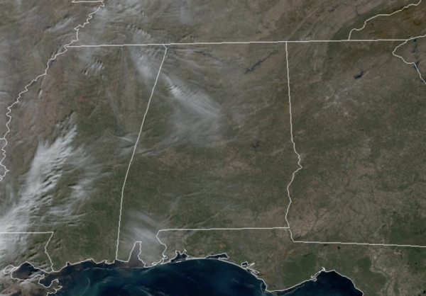
SUNNY & DRY: The sky is full of sunshine today and the dry weather will continue through tomorrow with highs in the 60s. Nights will be fair, and will remain chilly with lows in the 30s and 40s.
ACROSS THE USA: A storm system will push into the Southwest, bringing heavy rain and a flooding threat today. Heavy snow will spread into the Intermountain West and Rockies. High snowfall rates and strong winds could lead to difficult travel conditions. A wet pattern will continue heavy rain and the threat for flash flooding across Puerto Rico and the U.S Virgin Islands through Thursday
FRIDAY: Clouds begin to increase Friday ahead of a cold front, and some rain will likely move into the northern half of the state late in the day and into Friday night. Most of the day Friday will be dry and it will be very mild with highs in the upper 60s and lower 70s.
WET WEEKEND WEATHER: The front will stall across the state for the weekend, and several waves of rain will move across Alabama Saturday, Sunday, and Monday. These three days will feature periods of rain and some embedded thunderstorms. A few strong thunderstorms are possible, but with very limited surface based instability the chance of severe storms looks low at this point. Rainfall totals will be in the 2-3 inch range, with isolated higher amounts possible. Highs hold in the 60s and 70s over the weekend.
NEXT WEEK: We are forecasting highs mostly in the 50s, lows in the 30s most of next week, which are right at seasonal values for mid-February. After the rain departs Monday, most of next week will be dry. However, it looks like our next rain event will arrive for the weekend.
BEACH FORECAST CENTER: Get the latest weather and rip current forecasts for the beaches from Fort Morgan to Panama City on our Beach Forecast Center page. There, you can select the forecast of the region that you are interested in visiting.
WORLD TEMPERATURE EXTREMES: Over the last 24 hours, the highest observation outside the U.S. was 111.4F at Mandora, Australia. The lowest observation was -57.6F at Concordia, Antarctica.
CONTIGUOUS TEMPERATURE EXTREMES: Over the last 24 hours, the highest observation was 81F at Rio Grande Village, TX. The lowest observation was -4F at Clayton Lake, ME.
Category: Alabama's Weather, ALL POSTS
About the Author (Author Profile)
Macon, Georgia Television Chief Meteorologist, Birmingham native, and long time Contributor on AlabamaWX. Stormchaser. I did not choose Weather, it chose Me. College Football Fanatic. @Ryan_StinnetSubscribe
If you enjoyed this article, subscribe to receive more just like it.


