Showers Will Be Hard To Find Through The Weekend
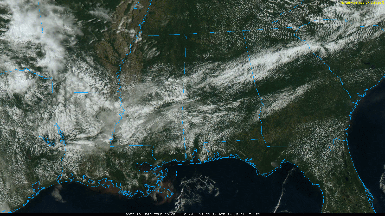
PLEASANT SPRING AFTERNOON: We have a mix of sun and clouds across Alabama this afternoon; we note one small lone shower over Sumter County at mid-afternoon, otherwise nothing on radar despite a surface front over the central counties. Tonight will be mostly fair with a low in the 50s.
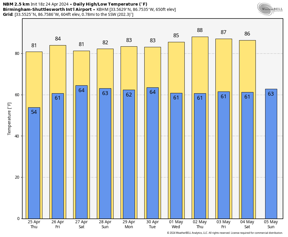
TOMORROW THROUGH THE WEEKEND: The front will drift north tomorrow and basically dissipate. Again, a few isolated showers can’t be ruled out, but most communities will stay dry with a high in the low to mid 80s. The weather stays warm and generally dry Friday through the weekend with partly sunny days and highs between 81 and 85 degrees. The chance of a shower each day is very small.
NEXT WEEK: A weak surface front will bring the chance of a few showers to Alabama late Monday, Monday night, and Tuesday, but rain amounts will be light, and it won’t rain everywhere. The rest of the week looks warm and dry with highs holding in the 80s. An upper ridge will deflect most of the big rain/storm producers west and north of the state. Still no sign of any high impact weather event (flooding, severe thunderstorms) for the next 7-10 days… See the video briefing for maps, graphics, and more details.
ON THIS DATE IN 1908: A long track tornado, estimated at F4 strength, moved from near Dora (Walker County) to near Sylvania (DeKalb County) around 410 pm. This tornado may have been associated with a family of tornadoes or was one single path. The estimated single tornado damage path would be at least 100 miles long. A total of 35 people were killed along the path; hardest hit communities were Dora, Warrior, and Albertville. A nine ton oil tank was reportedly carried around one half of a mile near Albertville.
ON THIS DATE IN 2010: A total of nine tornadoes touched down across Alabama, including an EF-3 that tore through Parrish and Cordova in Walker County. Along the path, 70-80 homes and other buildings were damaged, including one home that was completely destroyed. Between 800-1000 trees were snapped or uprooted as well. One year later, on April 27, 2011, two more tornadoes would move through Cordova, including an EF-4.
Another EF-3 touched down April 24, 2010 that tore through Albertville in Marshall County.
This was part of a regional severe thunderstorm outbreak that produced 142 tornadoes. A long-lived twister left a trail of destruction extending over 149 miles from Louisiana through Mississippi, resulting in 10 deaths and 75 injuries. This EF4 storm, which grew to a width of 1.75 miles, sported the fourth longest track in Mississippi history. This storm destroyed part of Yazoo City.
Look for the next video briefing here by 6:00 a.m. tomorrow…
Category: Alabama's Weather, ALL POSTS, Weather Xtreme Videos
About the Author (Author Profile)
James Spann is one of the most recognized and trusted television meteorologists in the industry. He holds the AMS CCM designation and television seals from the AMS and NWA. He is a past winner of the Broadcast Meteorologist of the Year from both professional organizations.Subscribe
If you enjoyed this article, subscribe to receive more just like it.


