11:10am CDT Update: Line of Storms Rolling Through Northern Alabama
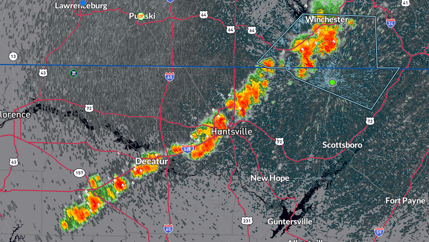
Strong storms are lined up from Winchester, TN southwest into Alabama, through Hazel Green, Meridianville, west of Huntsville to Moulton. These are generally moving east at 30 mph. The strongest storm as of 1110am CDT is near Winchester to Huntland. Winds to 40 mph hour possible. Heavy rain could lead to isolated flooding take it easy if you are heading out on the roads soon. Frequent lightning also occurring with these storms.
Additional rounds of storms possible later in the afternoon and evening. Some of these may produce strong to isolated damaging winds and more heavy rain. A marginal risk of severe storms in effect for most of northern and central Alabama today. We are monitoring closely!
Category: Alabama's Weather, ALL POSTS, Severe Weather
About the Author (Author Profile)
Owner of Tornado Talk. Radio broadcast meteorologist with The Storm Report. WeatherBrains Panelist. B.S. Meteorology from Penn State University.Subscribe
If you enjoyed this article, subscribe to receive more just like it.


