A Strengthening Ernesto To Become a Hurricane Tonight
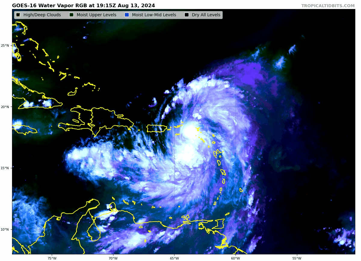
GOES-16 Water Vapor RGB via Tropical Tidbits.
—–
Have been gathering up the latest on Ernesto! The 5pm AST update has the following stats:
SUMMARY OF 500 PM AST…2100 UTC…INFORMATION
———————————————-
LOCATION…18.0N 64.1W
ABOUT 65 MI…105 KM ESE OF ST. THOMAS
ABOUT 135 MI…215 KM ESE OF SAN JUAN PUERTO RICO
MAXIMUM SUSTAINED WINDS…60 MPH…95 KM/H
PRESENT MOVEMENT…WNW OR 300 DEGREES AT 18 MPH…30 KM/H
MINIMUM CENTRAL PRESSURE…1001 MB…29.56 INCHES
SUMMARY OF WATCHES AND WARNINGS IN EFFECT:
A Hurricane Watch is in effect for…
* U.S. Virgin Islands
* British Virgin Islands
* Vieques and Culebra
A Tropical Storm Warning is in effect for…
* St. Kitts, Nevis, and Anguilla
* St. Martin and St. Barthelemy
* Sint Maarten
* Saba and Sint Eustatius
* British Virgin Islands
* U.S. Virgin Islands
* Puerto Rico
* Vieques and Culebra
—–
The Hurricane Hunters flew into the storm and found those max winds at 60 mph and the pressure drop. The NHC denoted in their discussion that some satellite estimates indicated the intensity of Ernesto may be higher. The aircraft will be in the storm later this evening to confirm if perhaps we have a stronger storm. Regardless, Ernesto is still looking good structurally and is expected to feed off the environment it is in: low shear, very warm temps….and we could have a hurricane tonight.
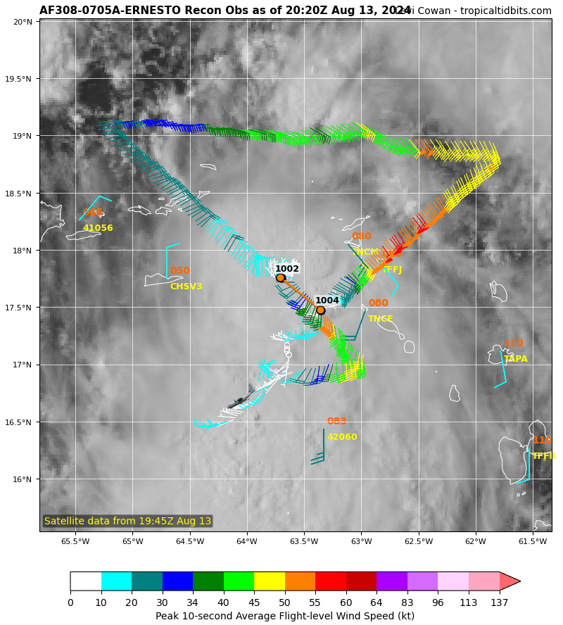
Completed recon mission as of 20:20 UTC.
—–
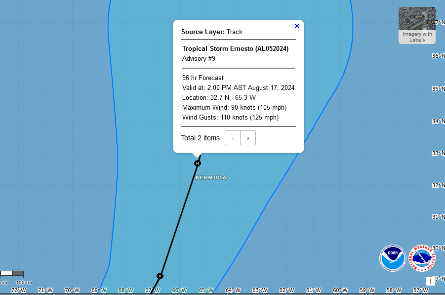
The latest track pulls Ernesto’s enter over the Virgin Islands this evening and then northeast and north of Puerto Rico through tonight and Wednesday. Beyond that point, a trough will interact with the storm and pull it north to northeast well off the US Coast. The track really hasn’t changed in the extended outlook and Bermuda is still in the crosshairs with possible impacts Friday night and Saturday.
About the Author (Author Profile)
Owner of Tornado Talk. Radio broadcast meteorologist with The Storm Report. WeatherBrains Panelist. B.S. Meteorology from Penn State University.Subscribe
If you enjoyed this article, subscribe to receive more just like it.


