Severe Thunderstorm Warning for portions of Jackson and DeKalb Counties until 6pm CDT
Storms are packing a punch from Dutton to Pisgah, Henager and Ider moving east around 25 mph. Frequent lightning with this and the possibility for 60 mph wind gusts. No major hail signature at this time. Very heavy rain possible. Additional strong storms are pushing further southwest near New Hope and north of Arab.
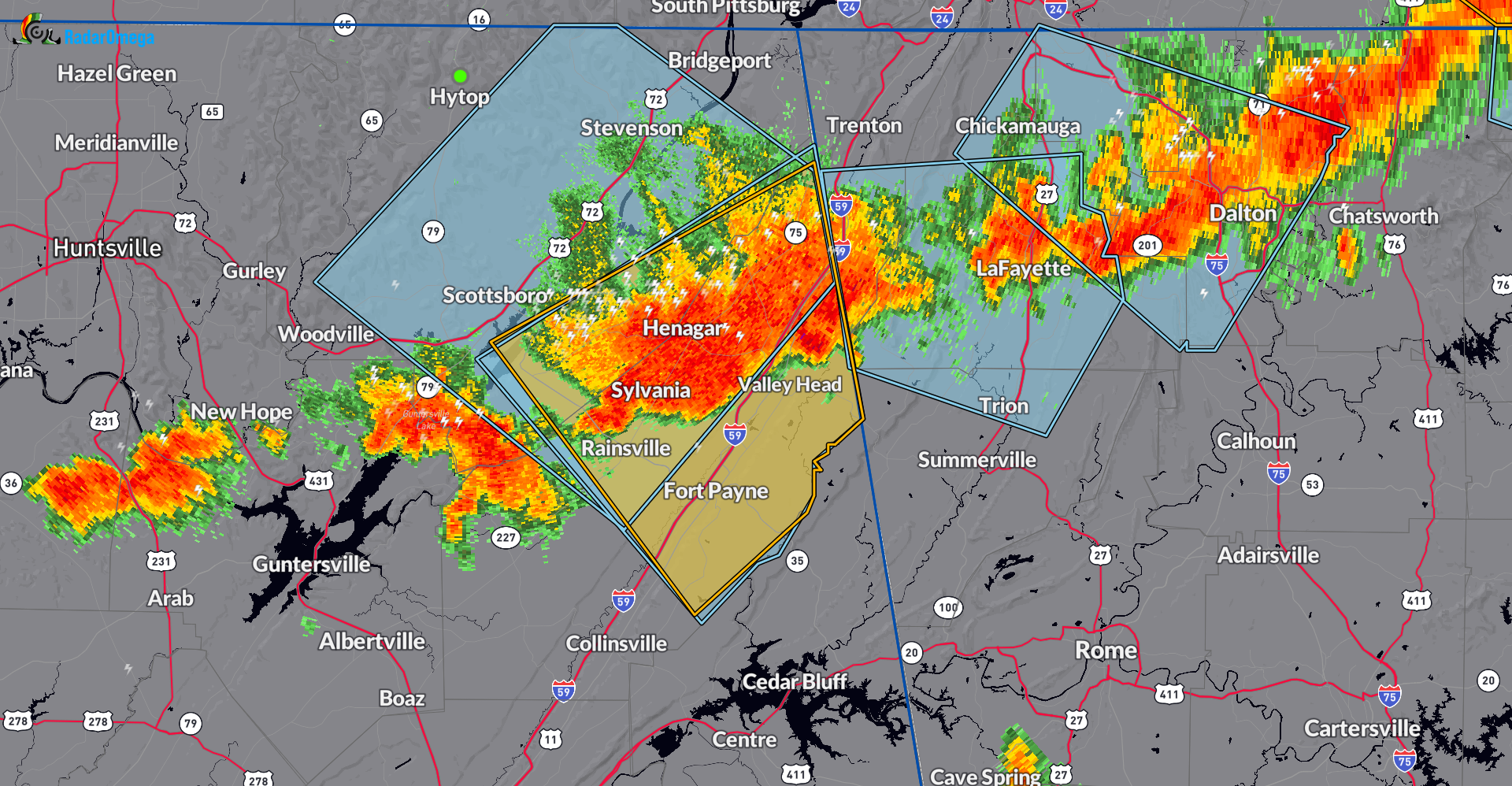
The National Weather Service in Huntsville Alabama has issued a
* Severe Thunderstorm Warning for…
Southeastern Jackson County in northeastern Alabama…
Eastern DeKalb County in northeastern Alabama…
* Until 600 PM CDT.
* At 514 PM CDT, a severe thunderstorm was located near Henagar, or
10 miles north of Fort Payne, moving east at 25 mph.
HAZARD…60 mph wind gusts and penny size hail.
SOURCE…Radar indicated.
IMPACT…Expect damage to roofs, siding, and trees.
* Locations impacted include…
Scottsboro, Fort Payne, Rainsville, Henagar, Sylvania, Fyffe, Powell, Section, Ider, and Pisgah.
———-
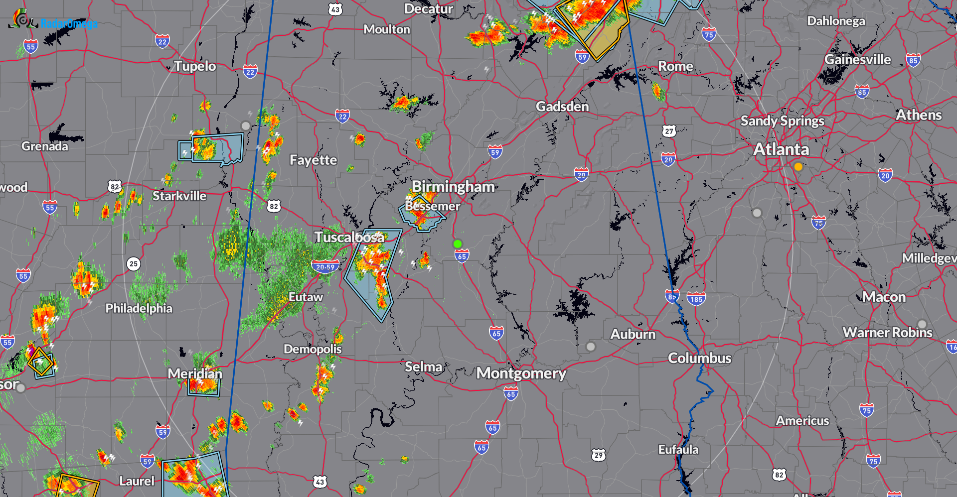
Strong storms as well west of Birmingham to the Mississippi line. Please be careful this evening.
Category: Alabama's Weather, ALL POSTS, Severe Weather
About the Author (Author Profile)
Owner of Tornado Talk. Radio broadcast meteorologist with The Storm Report. WeatherBrains Panelist. B.S. Meteorology from Penn State University.Subscribe
If you enjoyed this article, subscribe to receive more just like it.


