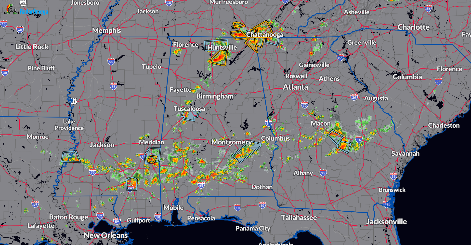
230pm CDT: Latest Look At the Severe Storms Across Parts of Alabama
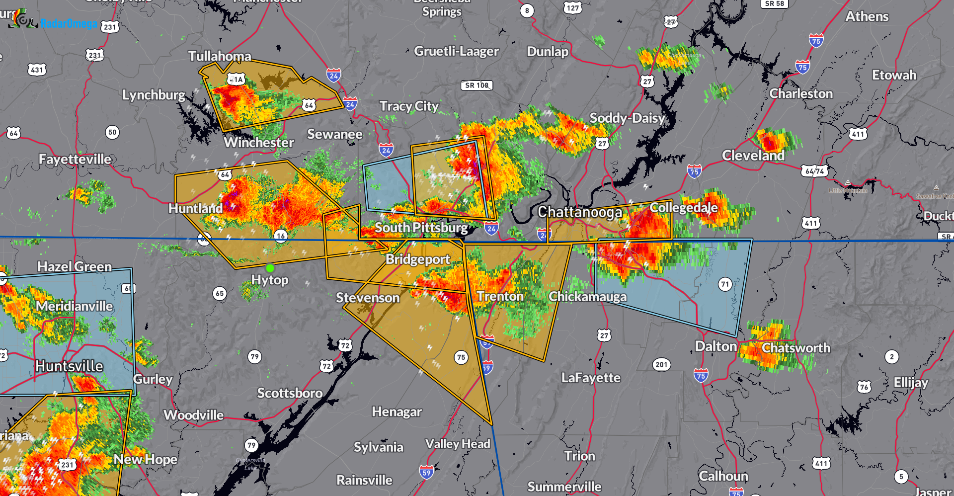
It’s a mess out there! Storms across far Southern Tennessee into Northeast Alabama continue to show signs of isolated damaging wind gust and at times larger hail. They are backbuilding and training over the same areas so there is a concern for isolated flooding if this continues.
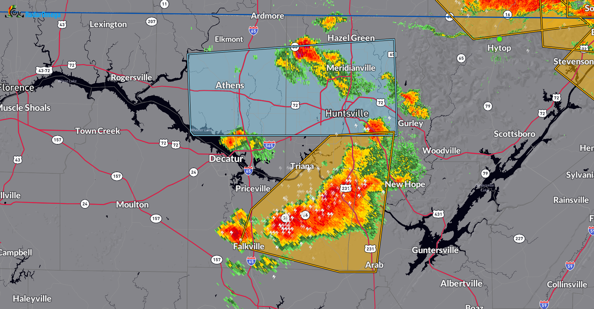
The other storm that has remained intense is further south from south Huntsville to Oden Ridge.
There are several warnings out and I will list the most current under the radar snapshots.
Severe Weather Statement
National Weather Service Huntsville AL
220 PM CDT Sat Aug 17 2024
ALC071-TNC051-171945-
/O.CON.KHUN.SV.W.0125.000000T0000Z-240817T1945Z/
Jackson AL-Franklin TN-
220 PM CDT Sat Aug 17 2024
…A SEVERE THUNDERSTORM WARNING REMAINS IN EFFECT UNTIL 245 PM CDT
FOR NORTH CENTRAL JACKSON AND SOUTHERN FRANKLIN COUNTIES…
At 220 PM CDT, severe thunderstorms were located along a line
extending from 7 miles south of Cowan to near Huntland, moving
southeast at 25 mph.
HAZARD…60 mph wind gusts and quarter size hail.
SOURCE…Radar indicated.
IMPACT…Hail damage to vehicles is expected. Expect wind damage to
roofs, siding, and trees.
Locations impacted include…
Huntland, Anderson, Beans Creek, Jericho, Russell Cave National
Monument, Maxwell, and Belvidere.
———–
Severe Weather Statement
National Weather Service Huntsville AL
228 PM CDT Sat Aug 17 2024
ALC049-071-172000-
/O.CON.KHUN.SV.W.0126.000000T0000Z-240817T2000Z/
Jackson AL-DeKalb AL-
228 PM CDT Sat Aug 17 2024
…A SEVERE THUNDERSTORM WARNING REMAINS IN EFFECT UNTIL 300 PM CDT
FOR NORTHEASTERN JACKSON AND NORTHEASTERN DEKALB COUNTIES…
At 228 PM CDT, a severe thunderstorm was located 7 miles southeast of
Bridgeport, moving southeast at 20 mph.
HAZARD…60 mph wind gusts and quarter size hail.
SOURCE…Radar indicated.
IMPACT…Hail damage to vehicles is expected. Expect wind damage to
roofs, siding, and trees.
Locations impacted include…
Higdon.
———-
Severe Weather Statement
National Weather Service Huntsville AL
226 PM CDT Sat Aug 17 2024
ALC089-095-103-171945-
/O.CON.KHUN.SV.W.0123.000000T0000Z-240817T1945Z/
Marshall AL-Madison AL-Morgan AL-
226 PM CDT Sat Aug 17 2024
…A SEVERE THUNDERSTORM WARNING REMAINS IN EFFECT UNTIL 245 PM CDT
FOR WEST CENTRAL MARSHALL…SOUTHWESTERN MADISON AND SOUTHEASTERN
MORGAN COUNTIES…
At 226 PM CDT, a severe thunderstorm was located near Morgan City, or
9 miles south of Redstone Arsenal, moving east at 20 mph.
HAZARD…60 mph wind gusts and quarter size hail.
SOURCE…Radar indicated.
IMPACT…Hail damage to vehicles is expected. Expect wind damage to
roofs, siding, and trees.
Locations impacted include…
Southern Huntsville, Hartselle, Arab, Redstone Arsenal, Owens Cross
Roads, Falkville, Triana, Morgan City, Somerville, and Eva.
Category: Alabama's Weather, ALL POSTS, Severe Weather
About the Author (Author Profile)
Owner of Tornado Talk. Radio broadcast meteorologist with The Storm Report. WeatherBrains Panelist. B.S. Meteorology from Penn State University.Subscribe
If you enjoyed this article, subscribe to receive more just like it.


