Midday Nowcast: Sunny and Colder to Start the New Year
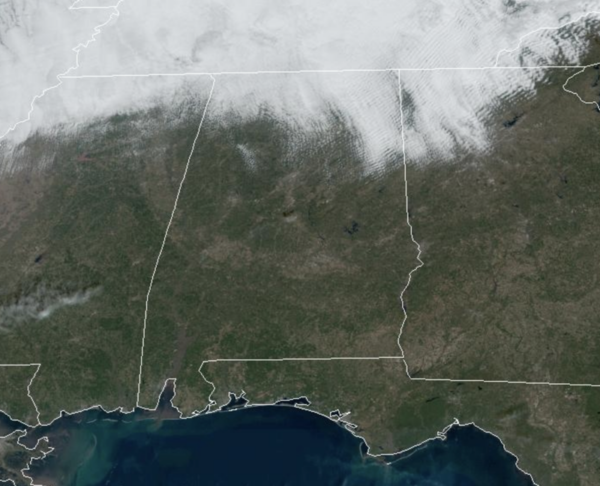
HAPPY NEW YEAR: The New Year is starting off colder and we are seeing dry and sunny weather for today and it will continue through Friday. Highs the next three days will be in the low to mid 50s, while overnight lows will be in the lower 30s. Right at seasonal averages for this time of year.
BIRMINGHAM ALMANAC: For January 1st, the average high for Birmingham is 54° and the average low is 36°. The record high is 80° set in 2022, while the record low is 11° set in 1977. We average 0.16” of precipitation on this date and the record value is 2.38” set in 1911.
ACROSS THE USA: A storm tracking through the Northeast U.S. today will bring rain through southern New England and rain changing to snow across interior New England, the central Appalachians, and downwind of the Great Lakes along with widespread gusty winds. Several weak waves of Pacific moisture will bring periods of low elevation rain showers and mountain snow to the Northwest U.S. into the weekend.
THE ALABAMA WEEKEND: Saturday will be colder and dry with a high in the upper 40s. Clouds will increase Saturday night, and rain and thunderstorms will likely move into the state during the day Sunday. Rain will be widespread Sunday night, but should be ending early Monday. Through some thunderstorms are expected, for now the air looks too stable for any risk of severe storms for most of Alabama. Some stronger storms are likely along the Gulf Coast.
ARCTIC BLAST ON THE WAY: Not much change in the forecast for now as the overall weather pattern for next week becomes very cold as the Arctic floodgates open up and we are likely to see cross polar flow, which will likely lead to our coldest weather in a few years. Highs in the 30s for the northern half of Alabama, with lows potentially in the teens by midweek. The models are still hinting that we could see a surface low in the Gulf of Mexico, and with cold air in place, this could increase our chance of the “S” word for portions of Alabama. This is entirely possible because this is the set-up we look for to produce snow in the Deep South, and it remains way too early to call.
Once this wave of energy passes, the counter-clockwise flow on the backside of the low will pull much colder air down into the Deep South. When looking at model output data for the January 10-12 time frame, lows COULD fall into the single digits over North Alabama, and highs COULD remain below freezing during the afternoons as well. We are all need to be prepared to deal with a very cold couple of week stretch of very cold weather across Alabama. Typically, the mid to late part of January is the coldest period of the year climatologically for Alabama.
WORLD TEMPERATURE EXTREMES: Over the last 24 hours, the highest observation outside the U.S. was 111.6F at Mariscal Estigarribia, Paraguay. The lowest observation was -73.7F at Tegyultya, Russia.
CONTIGUOUS TEMPERATURE EXTREMES: Over the last 24 hours, the highest observation was 87F at Fort Lauderdale, FL. The lowest observation was -29F at Peter Sinks, UT.
Category: Alabama's Weather, ALL POSTS, Social Media
About the Author (Author Profile)
Macon, Georgia Television Chief Meteorologist, Birmingham native, and long time Contributor on AlabamaWX. Stormchaser. I did not choose Weather, it chose Me. College Football Fanatic. @Ryan_StinnetSubscribe
If you enjoyed this article, subscribe to receive more just like it.


