Mainly Dry & Mild for Now; Cold Air Moves in Tonight
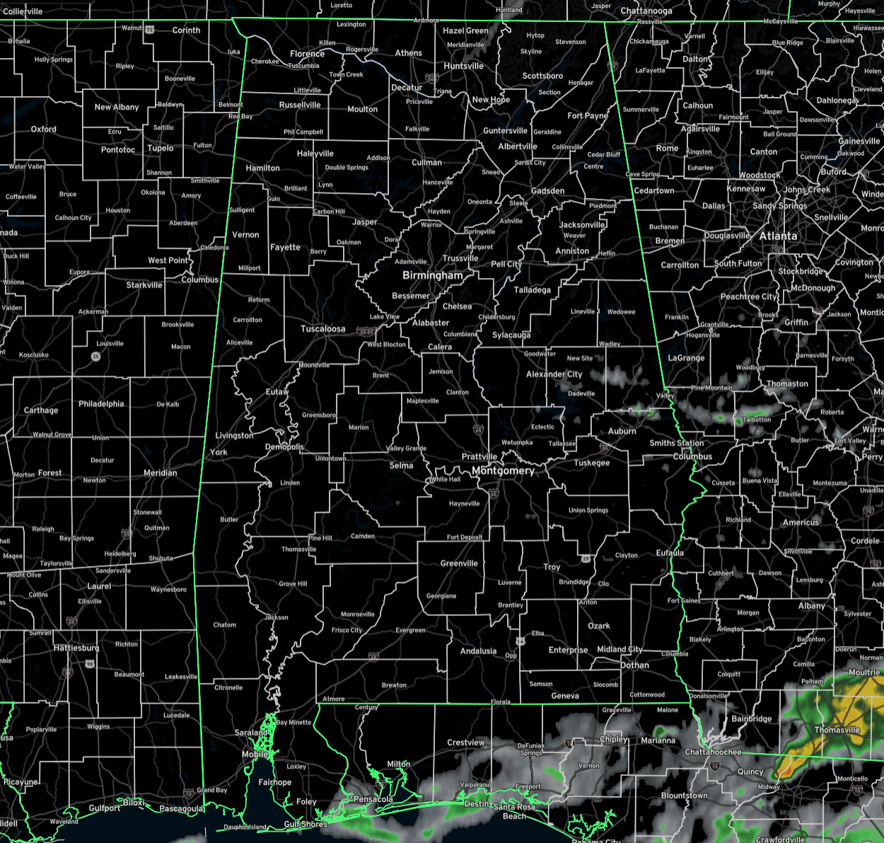
Radar check at 12:00PM shows that much of the state is dry with only a few scattered light showers or drizzle showing up over portions of Madison County in North Alabama, and for a few showers located along and in between the I-85 and US-280 corridors in southeast Alabama. We are also starting to see breaks in the cloud cover with some locations in the west and southwestern parts of the state seeing some decent sunshine. Temperatures are ranging from the lower 50s in the north to as warm as the mid 70s down in the Gulf Coast counties of Mobile and Baldwin. The warm spot is the city of Mobile at 74, while the cool spot is Scottsboro at 50. Birmingham was at 64 at the time of this post. Afternoon highs should reach the mid 50s to the mid 70s across the state, as we may only see a few scattered light showers through the rest of the afternoon for North and Central Alabama, with showers and storms possible in the south.
By this evening, the cold front will have moved into the northwestern parts of the state and temperatures will begin their free fall. As of 6PM, Birmingham should be around 56, while Florence will have already made it down to around 44. Overnight lows will eventually make it down into the upper 20s to the mid 40s from northwest to southeast. Latest high-resolution model runs are showing the potential for scattered snow flurries or snow showers at times during the morning hours across the northern half of the state, and some light rain or sprinkles over the northern portions of South Alabama. While no travel issues are expected with this activity, it may snow enough in some northern locations where a dusting may occur. Afternoon highs will be above freezing for most, ranging from the lower 30s to the upper 40s across the state from northwest to southeast.
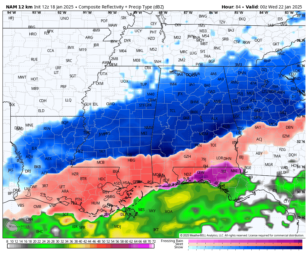
The high-resolution NAM 12k model run is out, and it reaches out to 6pm Tuesday evening. It is showing snowfall for nearly all the northern 3/4s of the state, with a wintry mix for the southern 1/4. It is still too early for the NAM 3k and the HRRR to come into view, so this is just a first look. By this time on the model run, it is already projecting up to 1–2 inches of snowfall mainly over the southwestern and south-central parts of the state, with lesser amounts north and east of that. South of that, a good bit of sleet will have already fallen, potentially as high as 1/4 to 1/2 inch. We’ll definitely get better looking and a little more trustworthy data as more model runs occur. We should have a pretty good idea by this time on Sunday.

As I said in this morning’s video briefing, stay weather-aware, dress warmly, and take precautions to keep yourself and your family safe as this winter storm system approaches. Protect your pets, your pipes, and your plants. We’ll continue to provide updates as the situation evolves.
Category: Alabama's Weather, ALL POSTS, Social Media, Winter Weather
About the Author (Author Profile)
Scott Martin is an operational meteorologist, professional graphic artist, musician, husband, and father. Not only is Scott a member of the National Weather Association, but he is also the Central Alabama Chapter of the NWA president. Scott is also the co-founder of Racecast Weather, which provides forecasts for many racing series across the USA. He also supplies forecasts for the BassMaster Elite Series events including the BassMaster Classic.Subscribe
If you enjoyed this article, subscribe to receive more just like it.


