Midday Nowcast: Sun to the North, More Clouds to the South
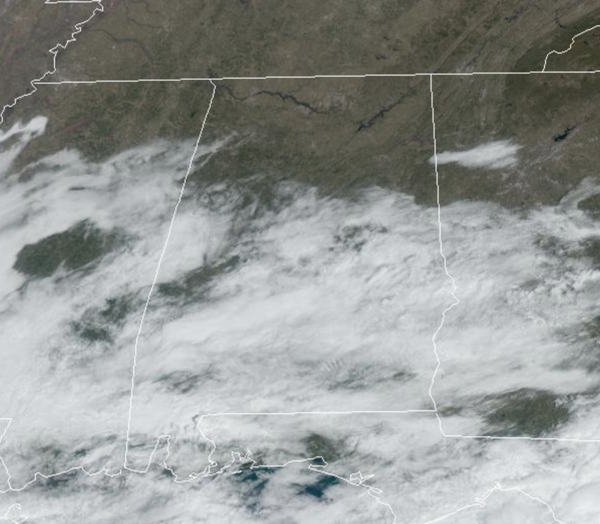
SPRING-LIKE WEEK: The warm-up continues and temperatures will be climbing into the 60s today and by the time we get to Wednesday, expect widespread 70s expected. We have been watching clouds and showers across South Alabama this morning, that activity continues to push off towards the southeast. North Alabama is seeing tons of sunshine, but along and south of the Interstate 20 corridor, we are seeing a mix of sun and clouds today. Tomorrow and Wednesday, we will see mainly sunny skies. A cold front will bring some showers to Alabama Thursday, but with limited moisture, rain amounts should be around 1/4 inch and there is no threat of severe weather. Sunshine and sightly cooler air flows back into the state Friday with highs near average values this time of year; lower 60s.
BIRMINGHAM ALMANAC: For February 24th, the average high for Birmingham is 62° and the average low is 41°. The record high is 81° set in 2017, while the record low is 16° set in 1989. We average 0.20” of precipitation on this date and the record value is 1.81” set in 1979.
ACROSS THE USA: An atmospheric river will bring heavy rain, high elevation mountain snow and strong winds to the Northwest states and northern Rockies through Tuesday. A system tracking along the Gulf Coast will move across Florida today bringing occasionally strong winds, heavy rain and thunderstorms. High surf and dangerous rip currents with breaking waves up to 10 feet along the northern Puerto Rico coast.
HELLO MARCH: The new month starts off with very nice weather for Alabama; sunny pleasant days and fair cool nights. Highs will be in the upper 60s and lower 70s. Lows will be mostly in the 40s. The mild weather continues into next week with highs in the 60s and 70s; lows will be in the 40s and 50s. A few showers are possible Monday night or Tuesday, but a more potent weather system will bring rain and thunderstorms to the state Wednesday and Wednesday night. Too early to know if there will be a significant risk of severe storms, but certainly something to watch in coming days. With the warmer days ahead, this is a reminder to not catch spring fever, we are not done with winter and freezing temperatures just yet.
WORLD TEMPERATURE EXTREMES: Over the last 24 hours, the highest observation outside the U.S. was 111.7F at Birdsville Airport, Australia. The lowest observation was -69.7F at Vostok, Antarctica.
CONTIGUOUS TEMPERATURE EXTREMES: Over the last 24 hours, the highest observation was 89F at Pala, CA. The lowest observation was -8F at Chesuncook, ME.
Category: Alabama's Weather, ALL POSTS, Social Media
About the Author (Author Profile)
Macon, Georgia Television Chief Meteorologist, Birmingham native, and long time Contributor on AlabamaWX. Stormchaser. I did not choose Weather, it chose Me. College Football Fanatic. @Ryan_StinnetSubscribe
If you enjoyed this article, subscribe to receive more just like it.


