Severe Threat Nears End as Storms Move Into Georgia
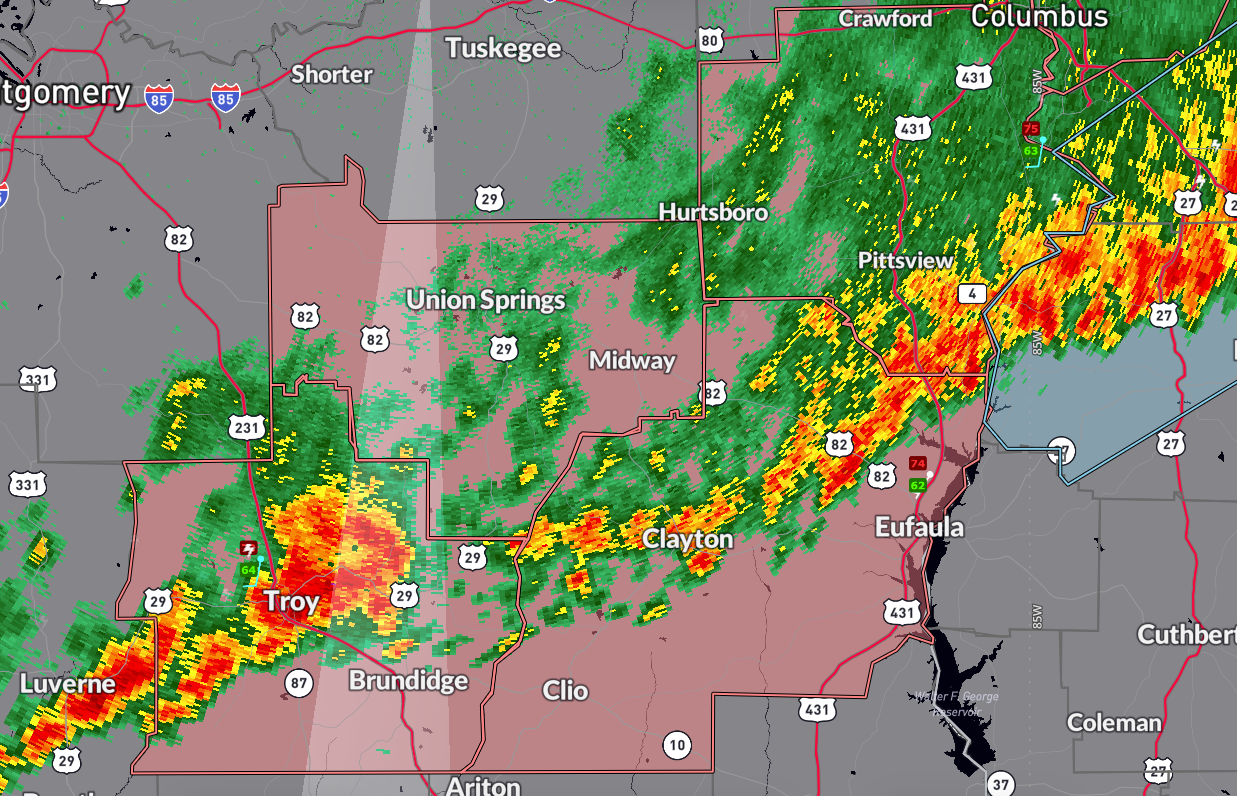
As of 9:20 PM CDT, the severe weather threat across Alabama is winding down. The National Weather Service has cancelled the Severe Thunderstorm Watch for Lee, Macon, and Montgomery counties, with only Bullock, Russell, Pike, and Barbour counties remaining under the watch until 10 PM.
No severe thunderstorm warnings or significant weather advisories are currently in effect anywhere in Alabama. Most storms have exited the state into Georgia or weakened below severe limits. However, earlier activity did produce storm damage, including downed trees near Gaylesville in Cherokee County and in the Ten Cedar Estates area of Elmore County.
The atmosphere continues to stabilize, and the threat for additional severe weather in Alabama appears minimal for the rest of the evening.
Category: Alabama's Weather, ALL POSTS, Severe Weather, Social Media
About the Author (Author Profile)
Bill Murray is the President of The Weather Factory. He is the site's official weather historian and a weekend forecaster. He also anchors the site's severe weather coverage. Bill Murray is the proud holder of National Weather Association Digital Seal #0001 @wxhistorianSubscribe
If you enjoyed this article, subscribe to receive more just like it.


