Drier Air To Arrive Friday Night And Saturday
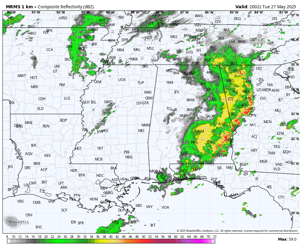
RADAR CHECK: Strong storms with gusty winds and heavy rain are moving through Southeast Alabama this afternoon… the rain has ended for the western counties. Temperatures are mostly in the 70s thanks to the rain; some spots received over two inches today along with some scattered flooding issues. Rain ends across Southeast Alabama this evening, and much of the night will be dry.
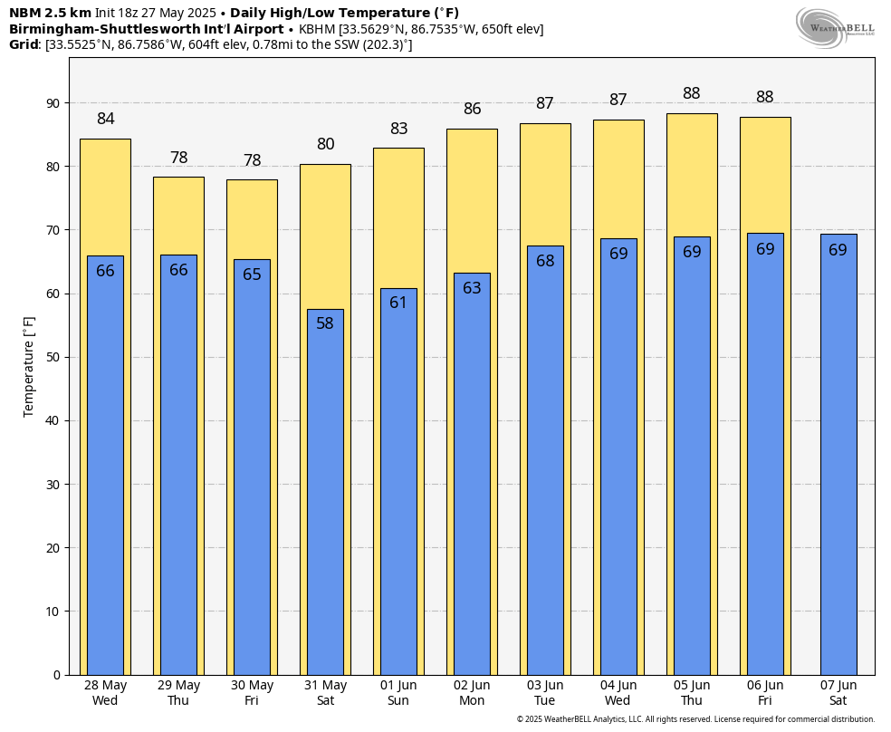
While showers are possible tomorrow, they will be very scattered and much of the day will be dry with highs in the low 80s.
A few showers and storms are likely Thursday as the unsettled pattern continues; it won’t rain all day, and the sun will be out at times with highs in the low to mid 80s.
FRIDAY AND THE WEEKEND: A cold front will push into Alabama Friday with a continued threat of showers and thunderstorms… but by afternoon the best chance of rain shifts into South Alabama as dry air pushes into the northern counties. For now we expect rain-free weather for the state Friday night and Saturday with lower humidity. Most North Alabama communities will dip into the 50s early Saturday morning, and with sunshine in full supply the high Saturday afternoon will be in the 77-83 degree range.
Global models suggest another batch of showers could move through the state late Sunday and Sunday night, but a decent part of the day Sunday will be dry.
NEXT WEEK: The weather next week will trend drier and warmer as an upper ridge builds across the region. Most days will be dry with afternoon highs approaching 90 degrees over the latter half of the week. See the video briefing for maps, graphics, and more details.
ON THIS DATE IN 1973: A long track F4 tornado touched down northeast of Demopolis and traveled northeastward. A great amount of damage occurred in the locations of Greensboro, Brent, Centreville, Montevallo, Columbiana, Wilsonville, Childersburg, and many areas in between. The tornado finally lifted near Mt. Cheaha after creating a path of damage over 139 miles long and up to 800 yards wide at its largest. A total of six people were killed and another 128 were injured along the path, including the town of Brent where five lost their lives and 56 were injured when much of the town was destroyed. Another person died and 72 were injured in the town of Greensboro. A grand total of 216 buildings were destroyed, 570 buildings damaged, 97 mobile homes destroyed, and 45 businesses were either damaged or destroyed. Along with all of the structural damage, over 12,000 acres of timber was destroyed.
The NWS radar facility near Brent (the primary radar site for Alabama at the time) was heavily damaged by the tornado; the radar dish had been blown from its tower and lay on the ground about 20 feet from the office. The roof was two thirds gone, and the rest of the building looked as it had been sand blasted.
ALSO ON MAY 27, 1973: Another large tornado touched down northeast of Tarrant at approximately 5:50 pm and started on its path of causing great damage. The first major location it hit was Center Point, where most of the damage of the entire path occurred. 32 frame homes were destroyed, along with 48 mobile homes, and more than 300 homes sustained damage. One person lost his life as he and his family were taking shelter in their basement, and the home collapsed. The tornado continued northeast passing close to St. Clair Springs, just south of Springville, and just north of Ashville, before lifting near Gadsden. The total damage path was estimated at 50 miles, and was 800 yards wide and its widest. Wind speeds were estimated at 162-209 mph.
Look for the next video briefing here by 6:00 a.m. tomorrow…
Category: Alabama's Weather, ALL POSTS, Weather Xtreme Videos
About the Author (Author Profile)
James Spann is one of the most recognized and trusted television meteorologists in the industry. He holds the AMS CCM designation and television seals from the AMS and NWA. He is a past winner of the Broadcast Meteorologist of the Year from both professional organizations.Subscribe
If you enjoyed this article, subscribe to receive more just like it.


