Midday Nowcast: Mainly Dry Today; Much Higher Rain Chances by Friday and the Weekend
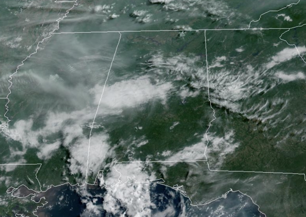
THE REST OF HUMP DAY: Most of Alabama is dry today, with showers and storms mainly confined to the southern counties of the state. We are seeing a mix of sun and clouds with highs in the mid to upper 90s. Lows tonight will be in the mid to upper 60s for most of North and Central Alabama.
BIRMINGHAM ALMANAC: For June 11th, the average high for Birmingham is 88° and the average low is 68°. The record high is 98° set in 2007, while the record low is 50° set in 1988. We average 0.16” of precipitation on this date and the record value is 1.68” set in 1952.
ACROSS THE USA: Heavy to severe thunderstorms may bring areas of excessive rainfall and flooding over parts of the southern Plains through Friday. There is an increased risk of flash flooding in east Texas today. Severe thunderstorms and heavy rain are also possible across parts of the upper Midwest and northwestern states. Hot weather continues out West with some moderation across the Pacific
INCREASING RAIN CHANCES: Rain chances increase to the 40-50% range tomorrow. Tomorrow will feature a partly sunny sky with highs in the mid to upper 80s. By the afternoon, showers and storms will begin to increase in coverage due to daytime heating.
For Friday through Sunday, moisture levels are on the rise and rain chances increase to the 70-80% range. Expect a partly sunny sky each day, with mainly afternoon/evening showers and storms across the Alabama landscape. These will be numerous to widespread, but again, not all locations will see rain. Most (but not all) of the showers and storms will occur from the 2:00 p.m. until 10:00 p.m, during the peak heating of the day.
Organized severe storms are not expected, but any summer storm can produce strong gusty winds and loads of lightning, with intense tropical downpours, which could allow for isolated areas of flash flooding. In the summertime, there is no way of knowing when and where showers and storms will develop, as they are rather random. You just have to watch radar trends each day.
Highs this weekend will be in the upper 80s and dew points in the mid 70s for many locations. That is air you can wear and the combinations of heat and humidity will allow for afternoon heat index values to climb into the upper 90s and perhaps low 100s this weekend.
NEXT WEEK: Not much change; pretty routine June weather, expect with higher than normal rain chances. Expect partly sunny, humid, very warm days with scattered, mostly afternoon and evening showers and thunderstorms on a daily basis. Highs will be in the upper 80s and lower 90s.
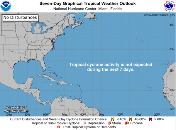
IN THE TROPICS: All is quiet and no tropical storm or hurricane development is expected in the Gulf of Mexico, Caribbean Sea, or the rest of the Atlantic the next seven days.
WORLD TEMPERATURE EXTREMES: Over the last 24 hours, the highest observation outside the U.S. was 120.2F at Jacobabad, Pakistan. The lowest observation was -93.3F at Vostok, Antarctica.
CONTIGUOUS TEMPERATURE EXTREMES: Over the last 24 hours, the highest observation was 122F at Death Valley, CA. The lowest observation was 21F at Cloverdale, CA.
Category: Alabama's Weather, ALL POSTS, Social Media


