Midday Nowcast: Plenty of Sunshine and Heat through the Weekend
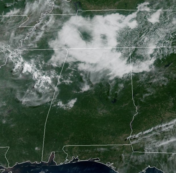
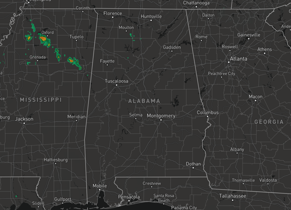
WELCOME TO SUMMER: Well almost, the summer solstice occurs later this evening at 9:42PM CD; that is when the sun is directly over the Tropic of Cancer, 23.5°N. Tomorrow, the sun starts its southeast migration and the days slowly begin to get shorter. The weather today, hot and humid with highs in the upper 80s and lower 90s. Some showers and storms are possible, especially across South and Southwest Alabama, but most of North and Central Alabama will remain dry.
BIRMINGHAM ALMANAC: For June 20th, the average high for Birmingham is 89° and the average low is 70°. The record high is 101° set in 1933, while the record low is 54° set in 1985. We average 0.16” of precipitation on this date and the record value is 1.21” set in 1920.
ACROSS THE USA: Severe thunderstorms are likely today across the northern Plains and into the upper Mississippi Valley. Gusty winds and dry conditions will result in widespread critical fire weather through Saturday across parts of the Four Corners region and the Great Basin. A significant and dangerous heat wave will expand from the Central U.S. into the Eastern U.S this weekend through much of next week.
HOTTER TEMPS: An upper ridge strengthens over the eastern half of the U.S. and brings higher heat levels to much of the country. Highs this weekend will generally be in the low 90s for much of Alabama, but some mid 90s are possible. With the high humidity levels and hot temperatures, heat index values this weekend will climb into the low 100s for many locations. Rain chances are pretty routine for early summer in Alabama, 20-30% range, and most of the storms will occur during the afternoon and evening hours.
NEXT WEEK: Overall a quiet weather pattern will persist due to the upper ridge in place. Partly to mostly sunny days, hot and humid conditions, with highs in the low to mid 90s. Each day will continue to feature random, isolated, afternoon and evening showers and storms. Heat index values will remain in the low 100s, and could approach the danger range at some point next week. For much of Alabama, the danger range starts at 105°, however for the southern counties of the state, the danger range begins at 108°.
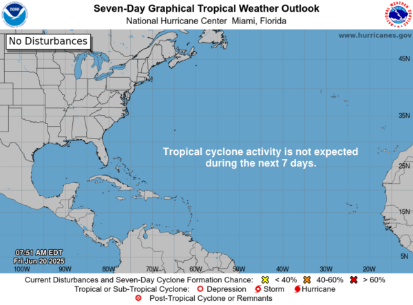
IN THE TROPICS: All is quiet and no tropical storm or hurricane development is expected in the Gulf of Mexico, Caribbean Sea, or the rest of the Atlantic the next seven days.
WORLD TEMPERATURE EXTREMES: Over the last 24 hours, the highest observation outside the U.S. was 116.6F at Sibi, Pakistan. The lowest observation was -87.9F at Vostok, Antarctica.
CONTIGUOUS TEMPERATURE EXTREMES: Over the last 24 hours, the highest observation was 120F at Stovepipe Wells, CA. The lowest observation was 32F at Bryce Canyon, UT.
Category: Alabama's Weather, ALL POSTS, Social Media
About the Author (Author Profile)
Macon, Georgia Television Chief Meteorologist, Birmingham native, and long time Contributor on AlabamaWX. Stormchaser. I did not choose Weather, it chose Me. College Football Fanatic. @Ryan_StinnetSubscribe
If you enjoyed this article, subscribe to receive more just like it.


