Severe Thunderstorms Moving Through Pike and Bullock Counties
A Severe Thunderstorm Warning is in effect for Pike County and southwestern Bullock County until 10:00 PM CDT.
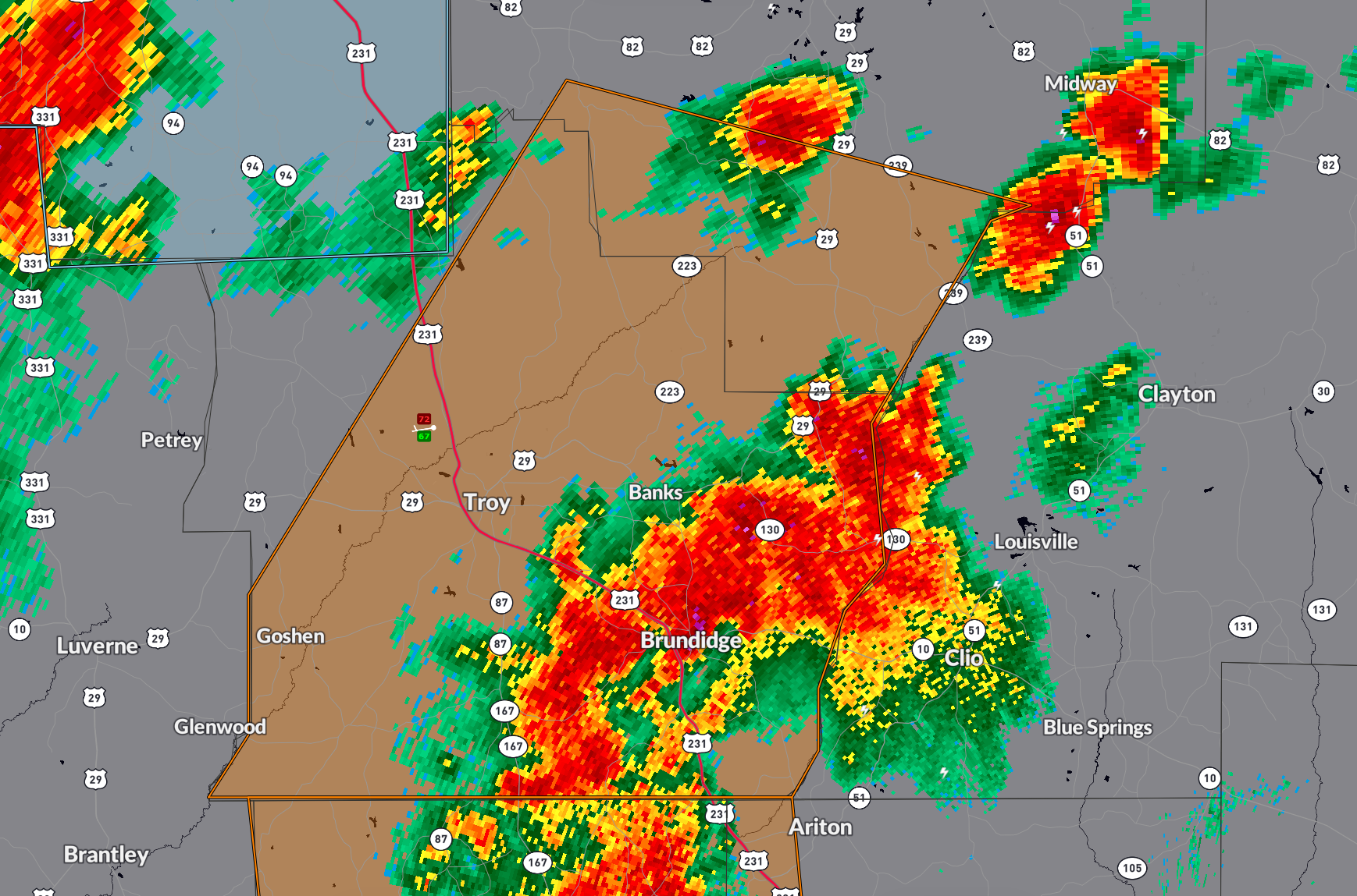
At 9:08 PM, radar showed strong storms in a line from Boot Hill to southwest of Antioch, moving west at 25 mph. These storms are capable of producing wind gusts up to 60 mph, which may cause damage to roofs, siding, and trees.
Locations in the path include Troy, Brundidge, Goshen, Banks, Troy University, and surrounding communities like Linwood, Tennille, Springhill, and Sandfield.
If you are in the warned area, take shelter immediately in a sturdy building away from windows. Avoid driving into areas where trees or debris could block the road.
Category: Alabama's Weather, ALL POSTS, Severe Weather, Social Media
About the Author (Author Profile)
Bill Murray is the President of The Weather Factory. He is the site's official weather historian and a weekend forecaster. He also anchors the site's severe weather coverage. Bill Murray is the proud holder of National Weather Association Digital Seal #0001 @wxhistorianSubscribe
If you enjoyed this article, subscribe to receive more just like it.


