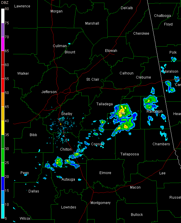
Mid Afternoon Update
SUNDAY SPRINKLES: The frontal system that pushed into the state overnight is stationary now, from about Anniston to Selma to Grove Hill. Some heavier showers have developed over parts of East and Central Alabama at mid-afternoon but rainfall amounts have been very light in spots spots, if measurable at all.
(Sorry for the old color table on the radar grab…re-purposing an old laptop and haven’t updated everything yet…)
Temperatures are in the 50s behind the front and 60s ahead of it. Montgomery had reached the 70s.
Clouds were thick in the I-59 corridor, with some clearing over northwest sections of the state.
Interesting to watch widespread stratocumulus forming in the colder air behind the front over parts of Lamar, Marion, Winston and Walker Counties.
REAL RAIN AHEAD: Our next weather maker is showing up on the weather maps this afternoon near Brownsville. It is a surface low pressure system that will move slowly northeast. Showers will increase over South Alabama tonight, increasing and spreading northward overnight. Rain will be likely tomorrow and tomorrow night as the moves from near Houston into Central Mississippi by midnight. The low is expected to continue deepening as it moves to near Columbus MS Tuesday morning. Rain and thunderstorms will diminish during the morning on Tuesday. Because of the proximity of the potent little low, it will be windy on Tuesday. Drier and cooler conditions will return for midweek and beyond.
Category: Alabama's Weather


