Lee A Little Stronger
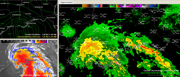
A quick update on Lee this morning…
Top winds 50 mph…
Central pressure 995 mb…
The “center” is 80 miles south of New Iberia.
Movement in north northwest at 7 mph…
The official track is a little faster and a little further north…putting the center on the Alabama/Mississippi border near Meridian around midnight Monday night/early Tuesday morning. Although it is important not to focus on the center for impact, it is important to try to determine where the heaviest rainfall will be.
It looks like the heaviest rain will be along and just west of the track of the center. A little unusual, but Lee is an unusual storm, almost having some subtropical characteristics according to the NHC.
Still looking at the heaviest rain for Central Alabama on Monday, when 3-6 inches of rain should fall across much of the area.
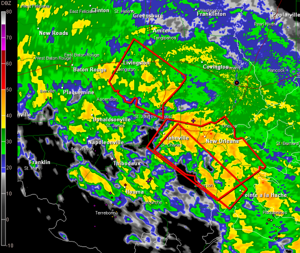
Several tornado warnings in effect in Southeast Louisiana and a tornado watch extends eastward into South Alabama and Northwest Florida. No tornado problems expected around here today, although there could be a low tornado threat Monday into Tuesday for us.
Category: Alabama's Weather, Tropical


