A Gorgeous Saturday
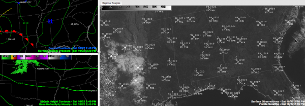
A gorgeous Saturday is in progress across Central Alabama. Temperatures at early afternoon were climbing through the 60s. Just a couple of spots might hit 70F this afternoon. 70s will be more common on Sunday as our gradual warm up continues. Overnight lows tonight will be primarily in the middle and upper 30s. Frost will be possible In many locations, much like this morning. You will see a few highs on Sunday thanks to an upper level disturbance coming out of the Plains, riding southeast on the upper flow. A few showers will accompany the system while it is still west of Alabama. Don’t worry, those showers should weaken as the system runs into high pressure and runs out of moisture , so there should be nothing to mar another nearly perfect fall day.
RACE FORECAST That’s great news for race fans making the semi-annual pilgrimage to the high banks of Talladega. the sky will be sunny later today and Sunday with low humidity levels. The high at the Superspeedway today will be around 68 today and 72 Sunday.
FOOTBALL FORECAST: Great weather in Baton Rouge, where Auburn is taking on LSU right now with a bright and sunny sky and temperatures that will be falling out of the 70s. Alabama hosts the Tennessee Volunteers at Bryant-Denny Stadium with a 6:15 p.m. CDT kickoff. The sky will be clear, with temperatures falling from near 64 at kickoff into the low to mid 50s by the fourth quarter.
START TO THE WORK WEEK: The Sunday disturbance will carve out a weak upper trough over the Southeast for Monday and Tuesday, but surface high pressure will dominate our weather. Those days will be just about perfect, with plenty of sunshine, refreshing morning lows in the upper 40s to around 50F, and spectacular afternoon highs in the upper 70s. A few spots might hit 80F either day.
MIDWEEK CHANGES: By Wednesday, a much stronger disturbance will be swinging across the Rockies. This system will move out onto the Plains by Thursday and the battle lines will be set between colder air to the north and strong subtropical high pressure over the Southeast. The result will be showers and thunderstorms extending from the Ohio Valley all the way back into the Arklatex. As the strong disturbance locks into place over Arkansas and Louisiana, a low pressure system will likely form and push northeast. We could get through much of Thursday without much weather, but showers and a few storms could break out by late in the day and into the overnight. As the low moves to near Memphis by Friday morning, showers and storms should be likely across Alabama starting early in the day. Highs Friday will top out in the 60s. It is too early to know whether we will see severe weather with this system, but the strength of the upper system does give us some concern. We will have plenty of time to evaluate the situation as we go through the week.
TROPICS WATCH: The disturbance over the southwestern Caribbean is not getting any better organized and may get shoved into Central America before it can develop. Chances of it developing into a tropical cyclone are diminishing. The morning GFS run does carry it westward into Central America without it developing.
Category: Alabama's Weather


