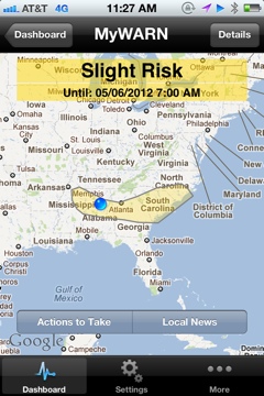
Slight Risk Extended Across Central Alabama
The SPC has extended the slight risk severe weather outlook to include much of Central Alabama this afternoon and evening.
The boundary from this morning’s defunct storm complex, good instability and an approaching upper level disturbance will trigger storms across the area today.
While the wind shear is light, some of the storms could produce large hail an damaging winds.
Lots of outdoor activities are ongoing across Central Alabama this afternoon, so keep an eye to the sky and have a way to get any warnings that are issued.
Here is the text from the SPC regarding the Alabama portion of the risk.
LOWER MS VALLEY INTO GA THIS AFTERNOON/EVENING…
VISIBLE SATELLITE AND SURFACE OBSERVATIONS SHOW A WELL-DEFINED
OUTFLOW BOUNDARY ADVANCING SWD/SWWD THROUGH WRN TN AND NRN PARTS OF
AL/GA. THIS FEATURE AND SLOW EWD MOVEMENT OF SHORTWAVE TROUGH INTO
THE LOWER MS VALLEY SHOULD SUPPORT WIDELY SCATTERED TSTM DEVELOPMENT
LATER TODAY. 12Z REGIONAL SOUNDINGS SHOW THE PRESENCE OF MIDLEVEL
LAPSE RATES OF 7.5-8.5 C/KM ATOP A MOIST BOUNDARY LAYER WHICH WILL
CONTRIBUTE TO MODERATE-STRONG AFTERNOON INSTABILITY. THOUGH
VERTICAL SHEAR WILL REMAIN WEAK…THE THERMODYNAMIC ENVIRONMENT WILL
PROMOTE VIGOROUS UP/DOWNDRAFTS CAPABLE OF SEVERE HAIL AND DAMAGING
WINDS.
Category: Alabama's Weather, Severe Weather
About the Author (Author Profile)
Bill Murray is the President of The Weather Factory. He is the site's official weather historian and a weekend forecaster. He also anchors the site's severe weather coverage. Bill Murray is the proud holder of National Weather Association Digital Seal #0001 @wxhistorianSubscribe
If you enjoyed this article, subscribe to receive more just like it.


