Mid-Morning Update
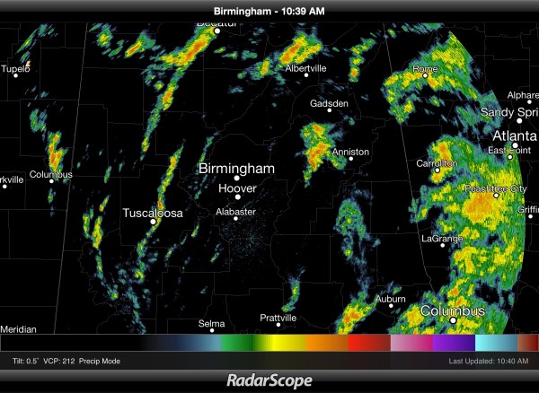
So far it has been a calm morning over North Alabama; after a couple of pre-dawn tornado warnings, things are quiet. Scattered to numerous tropical showers continue over the state…
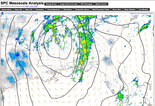
The surface low is near Tupelo, MS…
The air is marginally unstable across Alabama; we do note surface dewpoints have soared into the low 70s as far north as Tuscaloosa and Birmingham, so our part of the state is clearly in the warm sector of the storm system.
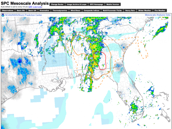
The highest STP (Significant Tornado Parameter) values are over Southwest Georgia, but an STP of 1 is seen into Alabama and includes places like Birmingham, Anniston, and Gadsden…
The bottom line is that a marginal tornado threat remains over East Alabama this afternoon, mainly east of I-65, and south of U.S. 278. We will be watching the radar closely.
Category: Alabama's Weather


