

Isolated Storms Trying to Form
Did you notice the subtle difference in the weather this morning? The clue: a deck of broken low clouds. The low clouds were produced by increased low level moisture that started spreading into the area late yesterday.
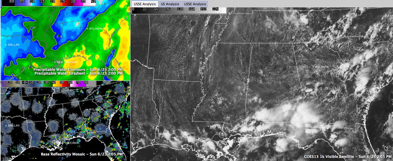
THE ALABAMA WEATHER STORY: High pressure is sitting astride the Blue Ridge Parkway in northeastern North Carolina and southwestern Virginia. It is a satellite high, which is centered appropriately near its namesake island. Tons of moisture has pooled over southeastern Alabama and it is slowly making its way northward. That process will be accelerated as the highs move a little further eastward. This afternoon, showers and storms have been mainly limited to South Alabama, along the seabreeze front as it has progressed northward. By 2 p.m., they had made it as far northward as Monroeville and Troy. They will make about as far northward as Montgomery before they peter out this evening.
RADAR CHECK
Elsewhere, showers and storms will be isolated through the rest of the afternoon. Around 2 o’clock, there was an isolated shower over northern Tuscaloosa County. It was having a hard time growing into a storm as it moves toward southern Walker County, but a few such showers will make the storm grade this afternoon before diminishing this evening. One was over southern Tuscaloosa County.
TEMPS: The extra clouds this morning have held the mercury back just a tad, but everyone was in the middle 80s by midafternoon and upper 80s will be commonly registered for highs.
Category: Alabama's Weather
About the Author (Author Profile)
Bill Murray is the President of The Weather Factory. He is the site's official weather historian and a weekend forecaster. He also anchors the site's severe weather coverage. Bill Murray is the proud holder of National Weather Association Digital Seal #0001 @wxhistorianSubscribe
If you enjoyed this article, subscribe to receive more just like it.


