Light Wintry Mix Late Tonight; Warmer Weekend
**No afternoon Weather Xtreme video… I am live at the BJCC at 4, 5, and 6:00 at the World of Wheels**
NICE AFTERNOON: We are enjoying filtered sunshine across Alabama this afternoon with temperatures generally in the 40s. It is considerably colder over the northern third of the state, where clouds have been hanging tough; temperatures are hovering around the freezing mark at Haleyville and Decatur at mid-afternoon. Nothing on the radar.
LIGHT WINTRY MIX TONIGHT: The next wave in the southern branch of the jet will bring the threat of some light rain, sleet, or snow to Alabama late tonight. This is HRRR model output valid at 4:00 a.m. CT.
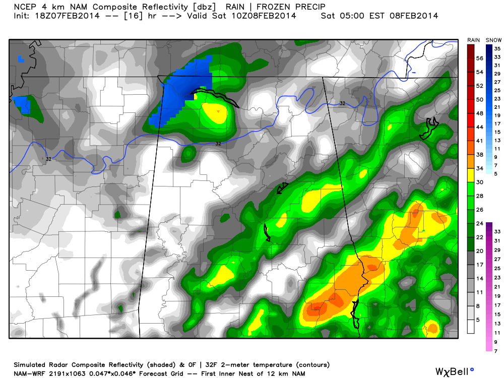
This event is very similar to what we experienced yesterday; some light snow or snow flurries can be expected over North Alabama, with a mix of sleet/snow/rain to the south. The deeper moisture will be over South Alabama, where it will be mostly rain, and temperatures will be above freezing.
However, it is clearly cold over the northern third of the state, and thickness values and forecast soundings suggest all snow there if anything falls. But, moisture is very limited, and with so much dry air precipitation amounts should be very light, and significant accumulation is not expected.
It is not out of the question that a few slick spots will develop on some bridges/overpasses over North Alabama late tonight and during the pre-dawn hours tomorrow with surface temperatures dropping to near 30 degrees. If you are traveling late tonight or very early tomorrow, especially north of Birmingham, just be aware of the situation.
The snow/sleet/rain will end by daybreak tomorrow, and any road issues will improve quickly by mid-morning.
WARMER WEEKEND: We will enjoy a dry weekend with a warming trend. The sun should break through tomorrow, and Sunday’s sky will feature a mix of sun and clouds. We reach the mid 50s tomorrow, followed by upper 50s Sunday.
NEXT WEEK: A very challenging forecast. Clouds thicken Monday, and we will mention the chance of some light rain during afternoon. Models are hinting now at a chance of some snow over parts of North Alabama Monday night in the colder air, and considering temperature trends in this flow over the past week that idea certainly has some merit. We won’t be able to be very specific this early in the game, but over the weekend forecasts will be fine tuned. At the moment it looks like the best chance of snow Monday night will be along and north of U.S. 278, or north of a line from Hamilton to Cullman to Gadsden.
A big rain event is likely Tuesday into Wednesday as a surface low forms in the northern Gulf of Mexico. The 12Z runs suggest mostly rain for North-Central Alabama, but anytime you have a system like this in February you have to watch the northern periphery of the precipitation for potential winter weather issues.
This is the 12Z GFS model valid at 12:00 noon Wednesday…

Drier air returns by Thursday and Friday.
STORM ALERT 2014: We had a great crowd at Gadsden City High School last night… our severe weather awareness tour comes to Calera High School in Shelby County next Thursday (February 13) at 6:30. This is the 17th year of the tour, and it is one way we get Alabamians ready for the spring tornado season.
WEATHER BRAINS: Don’t forget you can listen to our weekly 90 minute netcast anytime on the web, or on iTunes. This is the show all about weather featuring many familiar voices, including our meteorologists here at ABC 33/40.
CONNECT: You can find me on all of the major social networks…
Facebook
Twitter
Google Plus
Instagram
I had a great time today visiting the students at Snow Rogers Elementary in Gardendale… be looking for them on the Pepsi KIDCAM today at 5:00 on ABC 33/40 News! My next Weather Xtreme video will be posted by 7:00 a.m. Monday… Brian Peters will have the video updates tomorrow and Sunday. Enjoy the weekend!
Category: Alabama's Weather
About the Author (Author Profile)
James Spann is one of the most recognized and trusted television meteorologists in the industry. He holds the AMS CCM designation and television seals from the AMS and NWA. He is a past winner of the Broadcast Meteorologist of the Year from both professional organizations.Subscribe
If you enjoyed this article, subscribe to receive more just like it.


