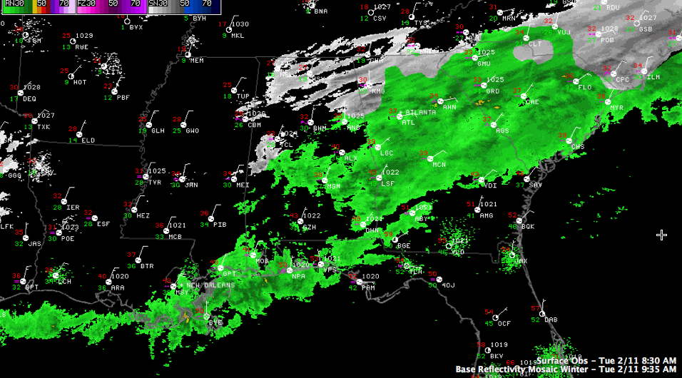
Precipitation Ending from the West
Temperatures have edged back up above freezing for most of the Birmingham Metro area. At 9 a.m. it was 33F at the BHM Airport. Things will continue to improve through the rest of the morning in the I-20 corridor.
Traffic is flowing smoothly on the major arteries around the Birmingham Metro at this hour and conditions will continue to improve.
To the north, it is a snow day from northern Lamar and Marion across Winston, Cullman, northern Blount, Marshall, Etowah, DeKalb and Cherokee Counties where widespread 2-6 inch snowfalls have been reported. Roads are snow covered and dangerous in these areas and travel should be avoided. Temperatures will not get above 32-33F
Precipitation is tapering off from the west now and is nearly over in Mississippi. More precipitation will move in tonight from the west however. Scroll down for more information on round 2 from James.
Category: Alabama's Weather, Winter Weather
About the Author (Author Profile)
Bill Murray is the President of The Weather Factory. He is the site's official weather historian and a weekend forecaster. He also anchors the site's severe weather coverage. Bill Murray is the proud holder of National Weather Association Digital Seal #0001 @wxhistorianSubscribe
If you enjoyed this article, subscribe to receive more just like it.


