

Warm Afternoons; Rain By Friday
An all new edition of the ABC 33/40 Weather Xtreme video is available in the player on the right sidebar of the blog. You can subscribe to the Weather Xtreme video on iTunes by clicking here.
SPECTACULAR SPRING WEATHER: Lots of sunshine across Alabama this afternoon through scattered clouds with temperatures mostly in the 77 to 80 degree range. The weather tomorrow will be very similar, with a mix of sun and clouds.
We will mention just a small risk of a shower Thursday as moisture levels rise… most locations will stay dry. The high Thursday will be very close to 80 degrees.
TO THE WEST: Severe weather is possible west of Alabama both tomorrow and Thursday. The most significant outbreak should come Thursday afternoon into Thursday night in the broad region from Houston to Indianapolis, where SPC maintains the standard “slight risk” of severe weather. There is an enhancement in the vicinity of Little Rock and Memphis, where a few tornadoes are possible during the late afternoon and evening hours.
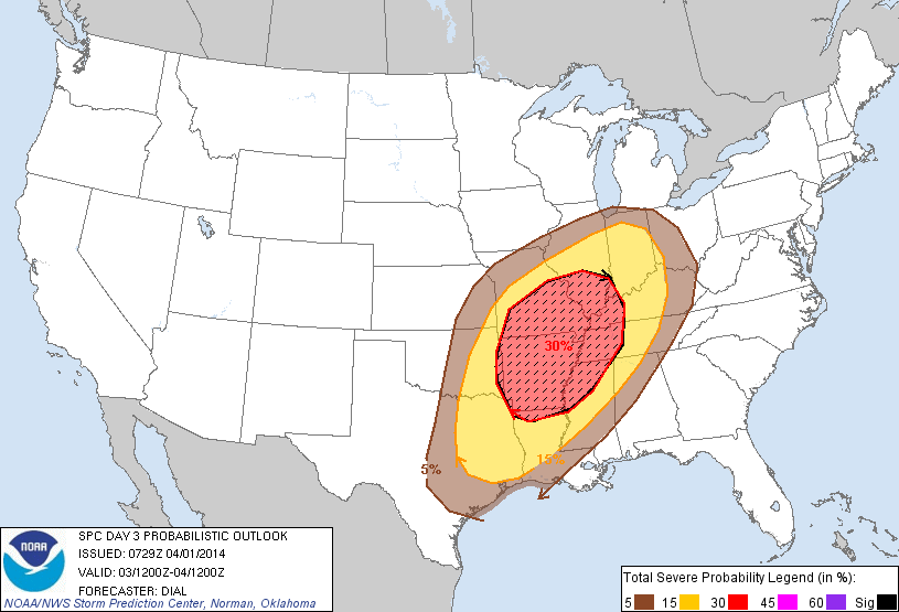
The “slight risk” extends into the northwest corner of Alabama; we expect the activity west of the state to roll into a long squall line late Thursday night; this should enter Northwest Alabama after midnight Thursday night and during the pre-dawn hours Friday. There will be a risk of strong, perhaps damaging straight line winds near Muscle Shoals and Florence as the line moves through.
We still expect the storms to weaken Friday morning as they move deeper into Alabama, and the risk of severe weather for the north-central counties remains low Friday with the main dynamics passing far to the north, weak wind fields, and very little shear. Still, we will forecast a good chance of showers and storms Friday with a high in the mid to upper 70s.
SATURDAY: This day looks dry with a good supply of sunshine; it will be a little cooler with a high around 70 degrees.
SEVERE WEATHER AS THE WEEKEND ENDS? Unfortunately the ECMWF model (European) continues to suggest a deep surface low will move from Louisiana to a point north of Memphis late Sunday night… this will bring rain back into Alabama during the day Sunday, and this setup would suggest a chance of severe weather for much of Alabama late Sunday night into early Monday morning.
However, the GFS model (the American model) shows the surface low just north of Mobile, which would mean just a soaking rain with no severe weather. We will be watching model trends closely in coming days for better clarity, but we now have high confidence that a big wet-down is likely for Alabama Sunday into Monday with potential for 2 inches of rain.
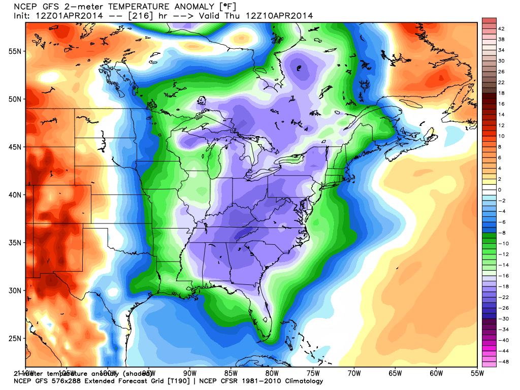
FROST/FREEZE LATE NEXT WEEK? The 12Z GFS continues the idea of a late season cold snap late next week centered on Thursday morning. Really too early to be specific, but clearly there could be a risk of a freeze over at least a part of North and Central Alabama. See the Weather Xtreme video for the maps, graphics, and details.
WEATHER BRAINS: Don’t forget you can listen to our weekly 90 minute netcast anytime on the web, or on iTunes. This is the show all about weather featuring many familiar voices, including our meteorologists here at ABC 33/40.
CONNECT: You can find me on all of the major social networks…
Facebook
Twitter
Google Plus
Instagram
Had a great time today seeing the kids at Gardendale’s First Baptist Church… be looking for them on the Pepsi KIDCAM on ABC 33/40 News at 5:00! The next Weather Xtreme video will be posted here by 7:00 a.m. tomorrow…
Category: Alabama's Weather
About the Author (Author Profile)
James Spann is one of the most recognized and trusted television meteorologists in the industry. He holds the AMS CCM designation and television seals from the AMS and NWA. He is a past winner of the Broadcast Meteorologist of the Year from both professional organizations.Subscribe
If you enjoyed this article, subscribe to receive more just like it.


