

A Warming Trend Ahead
ANOTHER REFRESHING MORNING: Again this morning we have 40s in the colder pockets across North Alabama… Vic Bell at Black Creek, northeast of Gadsden, reports a crisp 41 degrees just after 6:00.
Expect another cloudless sky over Alabama today, and a warming trend begins this afternoon with a high around 80 degrees.
REST OF THE WEEK: Looks dry with a warming trend. Mostly sunny days, fair nights. We reach the mid 80s tomorrow and Wednesday, followed by upper 80s Thursday and Friday. The GFS hints at some potential for a few isolated showers Thursday afternoon over far East Alabama, south of Anniston, but we will opt to leave that out of the forecast for now.
WEEKEND PEEK: A 5880 meter 500 millibar upper ridge will be in place, so it will feel more like summer Saturday and Sunday with afternoon highs holding in the upper 80s; some communities over West Alabama could touch 90. And, with the ridge in place, we will keep it a dry forecast with a good supply of sunshine both days.
A cold front to the north will lose it’s identity, but it might bring a few isolated showers early next week. But, no sign of any big rain event for Alabama through the next ten days. See the Weather Xtreme video for maps, graphics, and more details.
FOOTBALL WEATHER: At this point it looks mostly clear for the Alabama/Ole Miss game Saturday night in Tuscaloosa with a kickoff temperature near 80 degrees (8:15p CT), falling through the 70s during the game. Auburn travels to Baton Rouge to play LSU Saturday… kickoff is at 2:30. Just a slight risk of a shower or thunderstorm, and the weather will be hot with about 90 degrees at kickoff.
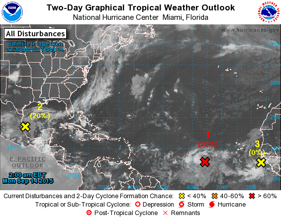
TROPICS: A disturbance in the central Atlantic is expected to become a tropical depression today (and ultimately Tropical Storm Ida), but it will be moving north and is no threat to land. A wave in the far southwest Gulf of Mexico has some low risk of development, but upper air winds are light, and it is expected to move little.
AT THE BEACH: Mostly sunny today from Panama City Beach west to Gulf Shores, but scattered showers and storms are possible tomorrow through Friday with 4 to 6 hours of sunshine daily. Highs will be in the 80s, and the sea water temperature early this morning at the Dauphin Island Sea Lab is down to 75 degrees.
See the complete Gulf Coast 7 Day Planner here. The Gulf Coast Beach Forecast is presented by Gulf Shores Plantation by Mandoki Hospitality Vacation Rentals. Escape to Gulf Shores Plantation where memories last a lifetime.
WEATHER BRAINS: Don’t forget you can listen to our weekly 90 minute netcast anytime on the web, or on iTunes. This is the show all about weather featuring many familiar voices, including our meteorologists here at ABC 33/40. We will produce this week’s show tonight at 8:30 CT… you can watch it on “James Spann 24/7” on cable systems around the state, or on the web here.
CONNECT: You can find me on all of the major social networks…
Facebook
Twitter
Google Plus
Instagram
I will be speaking over in Sumter County today… look for the next Weather Xtreme video here by 4:00 this afternoon. Enjoy the day!
Category: Alabama's Weather
About the Author (Author Profile)
James Spann is one of the most recognized and trusted television meteorologists in the industry. He holds the AMS CCM designation and television seals from the AMS and NWA. He is a past winner of the Broadcast Meteorologist of the Year from both professional organizations.Subscribe
If you enjoyed this article, subscribe to receive more just like it.


