Rain Returns Tomorrow
SUNNY DAY: Hard to find a cloud in the Alabama sky this afternoon, and as advertised temperatures are much cooler, with low 50s in most spots at mid-afternoon. Tonight will be fair and cold with a low down in the mid 30s for most communities.
TOMORROW: Clouds move in quickly tomorrow ahead of the next wave, and rain is likely tomorrow afternoon into the nighttime hours. For now it looks like the main window for rain will come from about 12:00 noon through 10:00 p.m. A little thunder is possible, but no severe weather is expected, and rain amounts of around 1/2 inch are likely.
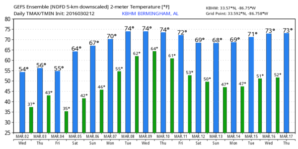
FRIDAY AND THE WEEKEND: Looking good with sunny days, clear nights, and a warming trend. We reach the upper 50s Friday, mid 60s Saturday, and upper 60s Sunday.
NEXT WEEK: The warm-up continues with low 70s Monday and mid 70s Tuesday. These two days will be dry, but the latter half of the week will be somewhat unsettled with a chance of showers and thunderstorms. Model guidance is not very consistent, and confidence in the specific details are not very high for now, but we might some risk of strong to severe storms toward the end of the week. See the Weather Xtreme video for maps, graphics, and more details.
AT THE BEACH: Some rain is likely late tomorrow and tomorrow night on the coast from Panama City Beach over to Gulf Shores, then dry weather is the story Friday through Sunday with sunny days and fair nights. Highs will be in the 60s, and sea water temperatures remain generally in the mid 60s. See a very detailed Gulf Coast forecast here.
STORM SURVEYS: Max rating for the Jefferson County tornado near McCalla is EF2 with winds of 120-125mph. Most significant damage is in the Bent Brook Community. Exact beginning and ending points will be determined later today, but generally, the tornado touched down near Eastern Valley Rd and tracked east southeast across Bent Brook Golf Course. Tornado lifted east of Bessemer City Airport.
A short EF0 tornado path has been identified in southern Talladega County southeast of Sylacauga, winds of 75-80 mph (survey continues so strength could change). Several homes and outbuildings damaged. Track runs parallel and south of CR 511. Details on path length and width to come later.
WEATHER BRAINS: Don’t forget you can listen to our weekly 90 minute netcast anytime on the web, or on iTunes. This is the show all about weather featuring many familiar voices, including our meteorologists here at ABC 33/40.
CONNECT: You can find me on all of the major social networks…
Facebook
Twitter
Google Plus
Instagram
I had a great time today visiting with a big home school group at the Boaz Public Library… be looking for them on the Pepsi KIDCAM today at 5:00 on ABC 33/40 News! The next Weather Xtreme video will be posted here by 7:00 a.m. tomorrow…
Category: Alabama's Weather
About the Author (Author Profile)
James Spann is one of the most recognized and trusted television meteorologists in the industry. He holds the AMS CCM designation and television seals from the AMS and NWA. He is a past winner of the Broadcast Meteorologist of the Year from both professional organizations.Subscribe
If you enjoyed this article, subscribe to receive more just like it.


