Blog Archives

Flash Flood Warning Bullock/Russell/Macon

Flash Flood Warning Bullock/Russell/Macon

| June 5, 2013 @ 3:11 am

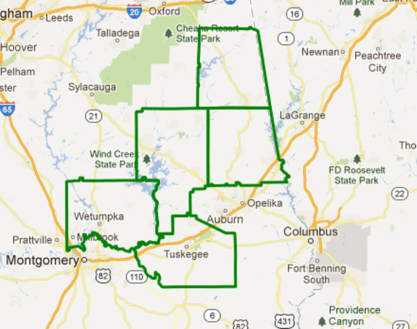
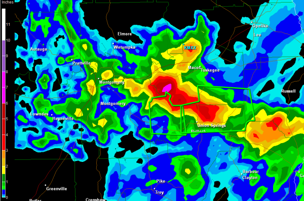
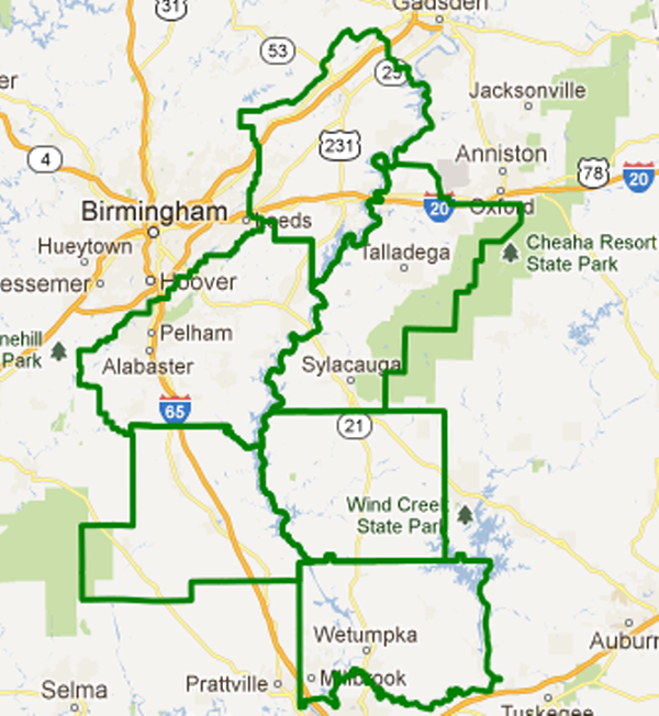
THE NATIONAL WEATHER SERVICE IN BIRMINGHAM HAS ISSUED A * FLASH FLOOD WARNING FOR… NORTHEASTERN BULLOCK COUNTY IN SOUTHEAST ALABAMA… SOUTHEASTERN MACON COUNTY IN SOUTHEAST ALABAMA… WEST CENTRAL RUSSELL COUNTY IN SOUTHEAST ALABAMA… * UNTIL 600 AM CDT * AT 309 AM CDT…NATIONAL WEATHER SERVICE INDICATED SLOW MOVING THUNDERSTORMS WITH VERY HEAVY RAINFALL ACROSS THE […]

Read More

Flood Warning – Coosa River

Flood Warning – Coosa River

| May 18, 2013 @ 4:43 pm

The Tallapoosa and Cahaba Rivers have already been placed under flood warnings. The NWS has gone ahead and issued a flood warning for the Coosa River and Logan Martin Lake. THE NATIONAL WEATHER SERVICE IN BIRMINGHAM AL HAS ISSUED A FLOOD WARNING FOR THE FOLLOWING RIVERS IN ALABAMA… COOSA RIVER NEAR LOGAN MARTIN DAM AFFECTING […]

Read More

Flood Warning – Cahaba River

Flood Warning – Cahaba River

| May 18, 2013 @ 2:34 pm

This is for the Cahaba River in the Birmingham metro… GUS44 KBMX 181926 FLWBMX BULLETIN – IMMEDIATE BROADCAST REQUESTED FLOOD WARNING NATIONAL WEATHER SERVICE BIRMINGHAM AL 226 PM CDT SAT MAY 18 2013 …THE NATIONAL WEATHER SERVICE IN BIRMINGHAM AL HAS ISSUED A FLOOD WARNING FOR THE FOLLOWING RIVERS IN ALABAMA… CAHABA RIVER NEAR CAHABA […]

Read More

River Flooding Becoming a Concern

River Flooding Becoming a Concern

| May 18, 2013 @ 9:43 am

Heavy flooding rains have been falling and continue to fall across the Coosa and Tallapoosa River Basins. Significant river rises are expected but especially along the Tallapoosa river. Areas in the river basin have received up to 10 inches of rain and all that water is running off into the river. The river is under […]

Read More

Flooding Reports

Flooding Reports

| May 18, 2013 @ 4:15 am

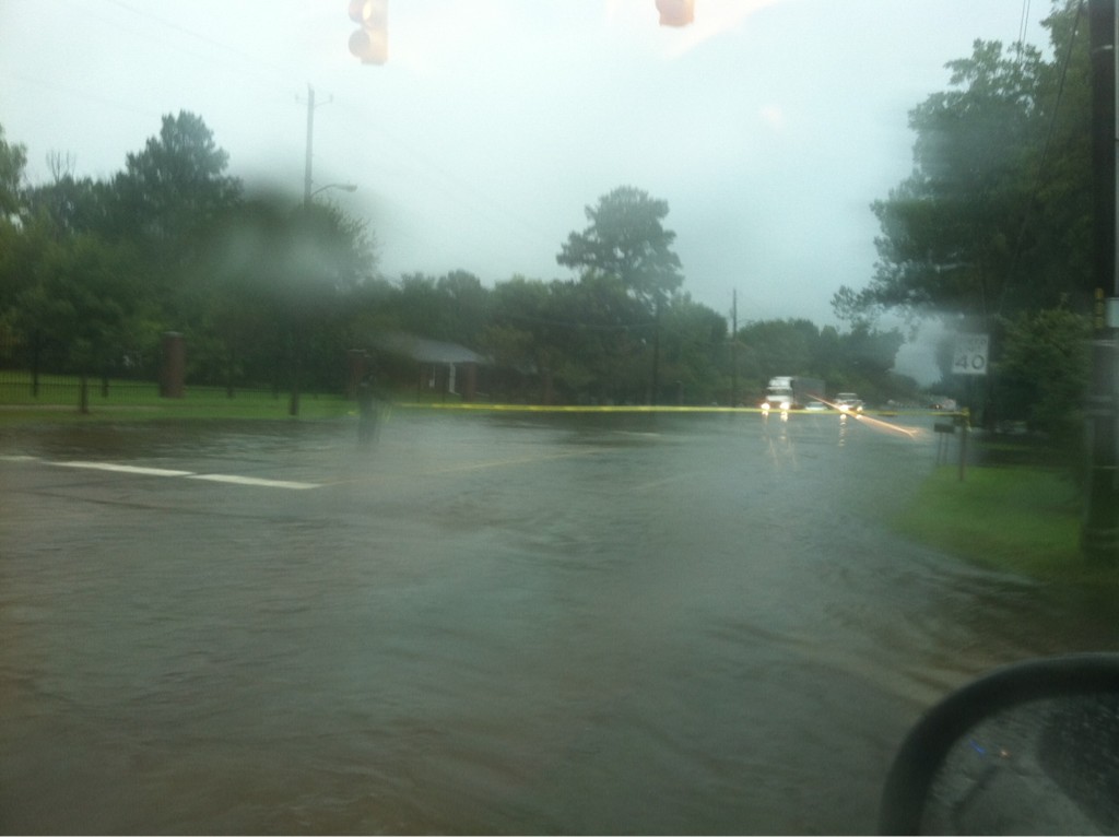
Several areas in East Alabama are reporting serious flooding and conditions are expected to on get worse as heavy rain continues to fall… Water covering portions of hwy 78 between Heflin and Fruithurst. Travel problems in and around Mt Cheaha state park as portions of county road 13 near county road 24 has become impassable. […]

Read More

Early Morning Update

Early Morning Update

| May 18, 2013 @ 3:56 am

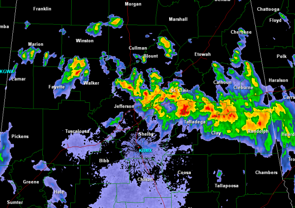
The severe weather threat for Alabama diminished during the late evening hours yesterday, but showers and thunderstorms continue to develop along a boundary that is draped across the area. Though no storms in Alabama have bee severe the last few hours, there is a serious flooding threat that has developed across areas of Central and […]

Read More

Flash Flood Emergency – City of Selma

Flash Flood Emergency – City of Selma

| September 4, 2012 @ 11:13 am

These images are from @a_s_williamson BULLETIN – EAS ACTIVATION REQUESTED FLASH FLOOD WARNING NATIONAL WEATHER SERVICE BIRMINGHAM AL 1028 AM CDT TUE SEP 4 2012 THE NATIONAL WEATHER SERVICE IN BIRMINGHAM HAS ISSUED A * FLASH FLOOD WARNING FOR… NORTHEASTERN DALLAS COUNTY IN SOUTH CENTRAL ALABAMA… NORTHERN LOWNDES COUNTY IN SOUTH CENTRAL ALABAMA… SOUTHERN PERRY […]

Read More

High Flooding Potential Over West Alabama

High Flooding Potential Over West Alabama

| September 3, 2012 @ 8:58 pm

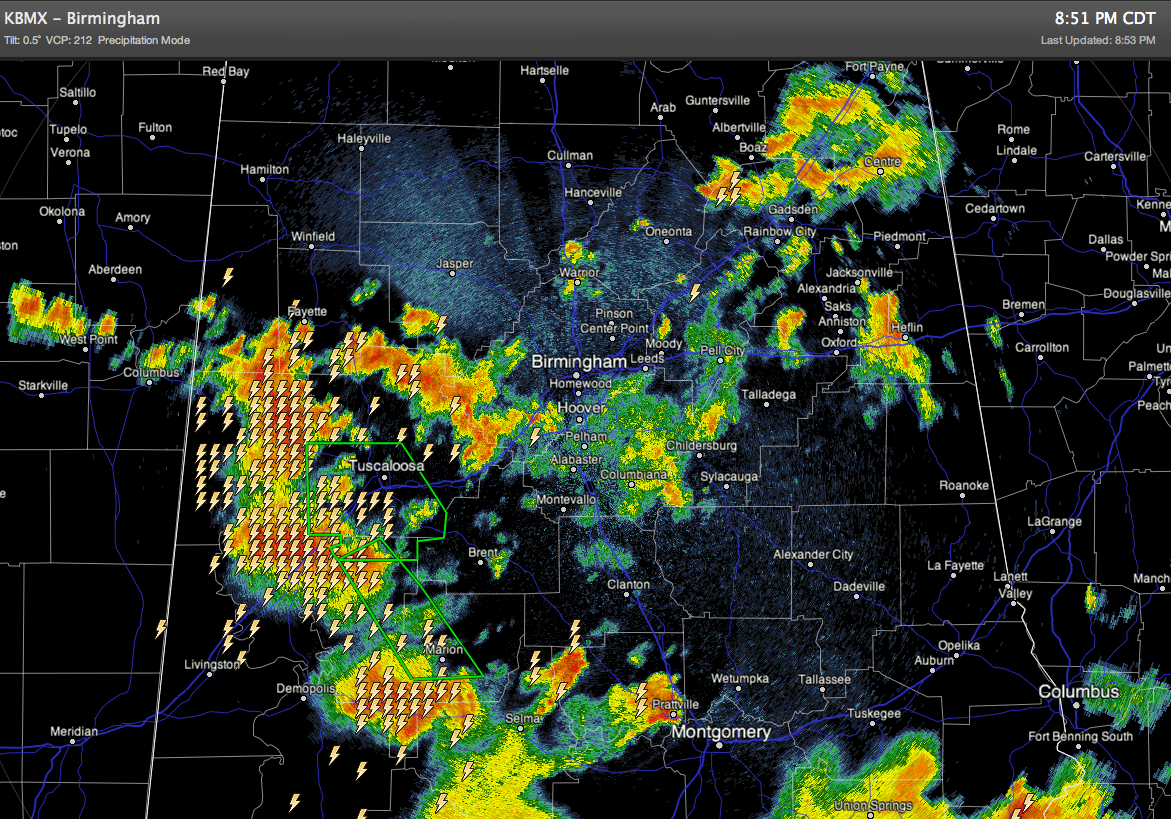
Radar suggests around 8 inches of rain tonight just east of Greensboro… radar shows tremendous tropical rains continuing from Gordo to Uniontown… Take it easy out there… turn around, don’t drown! The good news is that there have been no tornado warnings since 4:00, and the risk of a tornado continues to diminish. We should […]

Read More

Flooding Developing In The B’ham Metro

Flooding Developing In The B’ham Metro

| July 18, 2012 @ 10:40 am

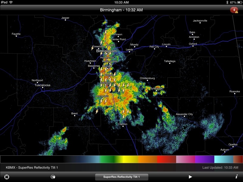
Getting reports of flooding across the Birmingham metro due to slow moving storms up and down the I-65 corridor. Some spots have received over two inches of rain; take it easy out there. Thunderstorms are moving very slowly to the south, and are also backbuilding.

Read More

Mess In Houston

Mess In Houston

| January 9, 2012 @ 11:44 am

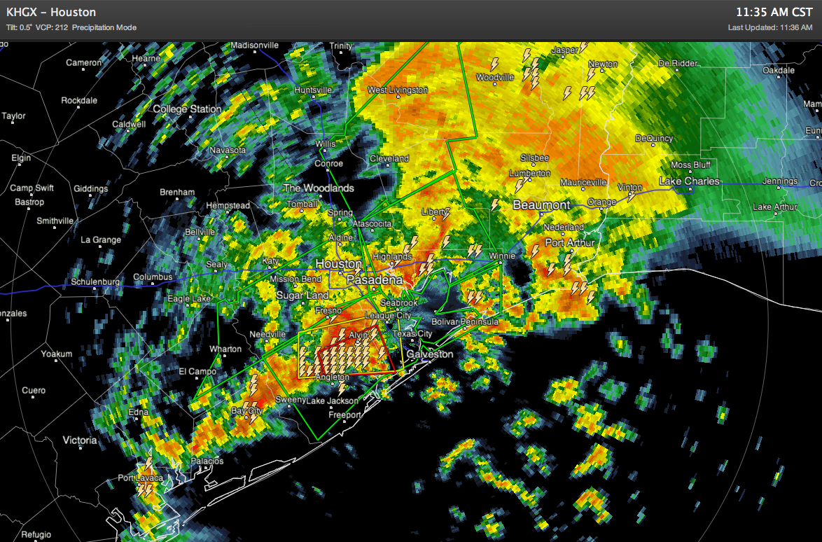
Hundreds of motorists are stranded in Houston this morning due to serious flooding; parts of the city have received over five inches of rain. And, a few tornado warnings have been issued as well. This mess is headed in the general directions of New Orleans, so football fans in town need to pay attention to […]

Read More

Warmer Tomorrow; Showers Remain Possible

Warmer Tomorrow; Showers Remain Possible

| September 20, 2011 @ 2:14 pm | 3 Replies

An all new edition of the ABC 33/40 Weather Xtreme video is available in the player on the right sidebar of the blog. You can subscribe to the Weather Xtreme video on iTunes by clicking here. RIGHT NOW: The NWS continues a flash flood warning for parts of Jefferson, Shelby, St. Clair, and Blount counties, […]

Read More

Too Much Water

Too Much Water

| September 7, 2011 @ 9:03 pm | 1 Reply

Thanks to Heather Hall for these images… she writes… “Hello James, I have written to you several times, but from a different email account. This is Heather Hall from Parrish, AL. My hometown is in Pennsylvania. Danville, PA. They are going through some terrible flooding at the moment. They dealt with some of the water […]

Read More

Flooding Pictures

Flooding Pictures

| September 5, 2011 @ 7:05 pm | 1 Reply

Thanks to our readers/viewers for sending these in on this wild, wet, and windy Labor Day…

Read More

Flash Flood Warning : Montgomery Metro

Flash Flood Warning : Montgomery Metro

| August 8, 2011 @ 8:26 pm | Reply

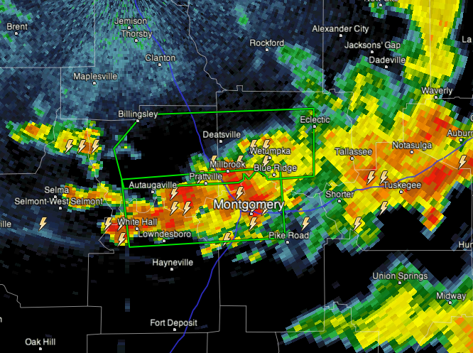
WGUS54 KBMX 090125 FFWBMX ALC001-051-085-101-090430- /O.NEW.KBMX.FF.W.0042.110809T0125Z-110809T0430Z/ /00000.0.ER.000000T0000Z.000000T0000Z.000000T0000Z.OO/ BULLETIN – EAS ACTIVATION REQUESTED FLASH FLOOD WARNING NATIONAL WEATHER SERVICE BIRMINGHAM AL 825 PM CDT MON AUG 8 2011 THE NATIONAL WEATHER SERVICE IN BIRMINGHAM HAS ISSUED A * FLASH FLOOD WARNING FOR… NORTHERN LOWNDES COUNTY IN SOUTH CENTRAL ALABAMA… NORTHERN MONTGOMERY COUNTY IN SOUTH CENTRAL ALABAMA… […]

Read More