Alabama 811 | Know What's Below.

Blog Archives

Rain/Storms Again Today; Drier Air Arrives Tonight

Rain/Storms Again Today; Drier Air Arrives Tonight

| May 26, 2022 @ 5:46 am

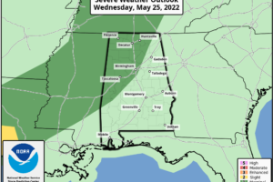
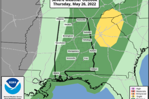
RADAR CHECK: Scattered showers are in progress across Alabama early this morning in the tropical air… this will be another day with occasional showers and a few strong thunderstorms. SPC has much of the state (except the far west and northwest counties) in a “marginal risk” (level 1/5) of severe thunderstorms today; heavier storms will be capable of producing hail and gusty winds.

Read More

Wet/Stormy Pattern Continues Through Tomorrow Night

Wet/Stormy Pattern Continues Through Tomorrow Night

| May 25, 2022 @ 5:48 am

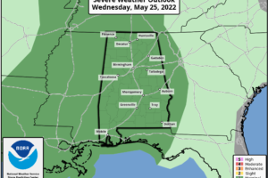
RADAR CHECK: A large mass of rain and storms is over West and Southwest Alabama early this morning in the tropical airmass that covers the Deep South. Unsettled weather continues today with occasional rain and a few strong thunderstorms… all 67 Alabama counties are in a “marginal risk” (level 1/5) of severe thunderstorms as defined by SPC. Heavier storms could produce hail and strong gusty winds, like recent days.

Read More

Wet, Unsettled Weather Through Thursday

Wet, Unsettled Weather Through Thursday

| May 24, 2022 @ 5:45 am

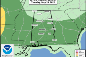
RADAR CHECK: A large mass of rain is moving northward through the western half of Alabama early this morning, otherwise it is a cloudy, humid morning with temperatures in the 65-70 degree range. A very moist, tropical airmass continues to cover the Deep South today, and we expect occasional showers and thunderstorms with a high between 77 and 82 degrees.

Read More

Occasional Rain/A Few Storms Through Thursday

Occasional Rain/A Few Storms Through Thursday

| May 23, 2022 @ 5:46 am

RADAR CHECK: Rain is widespread over the northern 2/3 of Alabama early this morning thanks to a stalled surface front to the west, and a disturbance that moved out of the Gulf of Mexico last night. The rain will taper off from the southwest later this morning, and most of the afternoon and tonight should be dry with only spotty lingering showers around.

Read More

Stormy Start To The Day; Higher Severe Weather Potential Over South Alabama

Stormy Start To The Day; Higher Severe Weather Potential Over South Alabama

| April 5, 2022 @ 5:54 am

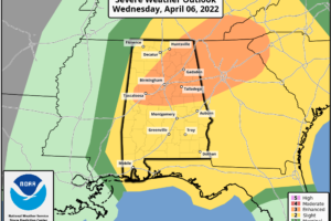
RADAR CHECK: As advertised, a large mass of rain and thunderstorms has pushed into Alabama this morning. There is no surface based instability over the northern half of the state, so for North Alabama the main concern will be heavy rain and possibly some small hail. The greater severe weather threat today will be over the southern counties, where stronger storms will be capable of producing large hail, damaging winds, and a few tornadoes.

Read More

Wet Through Tomorrow; Dry/Warmer Thursday

Wet Through Tomorrow; Dry/Warmer Thursday

| March 15, 2022 @ 3:16 pm

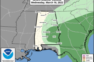
RADAR CHECK: Rain is widespread over the northern 2/3 of Alabama this afternoon ahead of an upper low over North Louisiana. Temperatures are mostly in the upper 50s, about ten degrees below average for mid-March in Alabama. Periods of rain and a few thunderstorms will continue across the state through tomorrow… stronger storms tomorrow over East and Southeast Alabama could produce some hail due to the cold air aloft associated with the upper low.

Read More

Occasional Rain Through Tomorrow; Some Thunder

Occasional Rain Through Tomorrow; Some Thunder

| March 15, 2022 @ 5:50 am

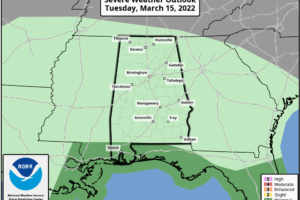
WET: An approaching upper trough will bring rain back to Alabama today. Showers are lined up near the Mississippi border early this morning, but the rain will become widespread later today, and periods of rain will continue tonight and tomorrow as the upper air system slowly moves through. A few strong storms are possible near the Gulf Coast today, and over roughly the southern half of the state tomorrow.

Read More

Rain Ends Later This Morning; Clouds Linger

Rain Ends Later This Morning; Clouds Linger

| February 23, 2022 @ 5:47 am

RADAR CHECK: Widespread rain continues across parts of North/Central Alabama early this morning ahead of a cold front that is lined up from near Huntsville to Fayette at 6:00 a.m. The front will sag southward, and become stationary over the central counties later this morning as it becomes parallel to the upper air winds. Rain will end over the northern half of the state, and any showers this afternoon will be over South Alabama… and there they will be widely scattered.

Read More

Warmer Tomorrow; Strong/Severe Storms Possible Tomorrow Evening

Warmer Tomorrow; Strong/Severe Storms Possible Tomorrow Evening

| February 21, 2022 @ 3:10 pm

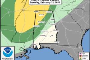
RADAR CHECK: Widespread rain continues over much of Alabama this afternoon… generally north of a line from Tuscaloosa to Eufaula. The rain is north of a warm front positioned over the southern part of the state; south of the warm front temperatures are in the 70s, but north of the front where rain is falling readings are in the 47-55 degree range.

Read More

Unsettled Weather Ahead For Alabama This Week

Unsettled Weather Ahead For Alabama This Week

| February 21, 2022 @ 5:55 am

RADAR CHECK: Rain continues to increase early this morning across parts of Central and South Alabama, ahead of a northward moving warm front. We expect periods of rain today, with the highest coverage over the northern 2/3 of the state. The high will be in the 58-63 degree range over North/Central Alabama, with 70s over the southern counties of the state south of the warm front.

Read More

Wet, Unsettled Weather For Alabama Through Friday

Wet, Unsettled Weather For Alabama Through Friday

| February 2, 2022 @ 3:02 pm

RADAR CHECK: Rain is fairly widespread across Alabama this afternoon with temperatures in the 50s and 60s. The wet, unsettled pattern will stay in place through Friday.

Read More

Wet Through Friday; Flood Watch Issued

Wet Through Friday; Flood Watch Issued

| February 2, 2022 @ 4:54 am

WET: Expect waves of rain across Alabama through Friday as a very wet pattern develops. A flood watch has been issued for the northern 2/3 of the state tonight through tomorrow night; rain amounts of 2-4 inches are expected with potential for some flooding issues.

Read More

Rain Moves In Tonight; Turning Much Colder Tomorrow

Rain Moves In Tonight; Turning Much Colder Tomorrow

| January 19, 2022 @ 3:07 pm

MILD WINTER DAY: Temperatures are in the 60s across Alabama this afternoon… it will be the warmest day this week, and probably the warmest day for the rest of January. Clouds are increasing over the northern half counties, and rain is entering the northwest corner of Alabama this afternoon ahead of a cold front. Rain will expand southward tonight… there could be some thunder, but severe storms are not expected here.

Read More

Winter Weather Advisory For Far North Alabama; Rain Elsewhere Today

Winter Weather Advisory For Far North Alabama; Rain Elsewhere Today

| January 6, 2022 @ 5:48 am

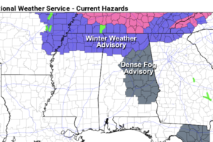
RADAR CHECK: Rain is moving into West Alabama early this morning; temperatures are above freezing statewide and there is no wintry precipitation anywhere in the state just before daybreak. Thick fog has formed over the eastern and central counties, where a dense fog advisory has been issued.

Read More