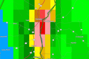
110pm: Major Flooding in Eufaula; Other Advisory Updates
Between 4-7″ of rain has fallen over Eufaula causing major flooding.
Owner of Tornado Talk. Radio broadcast meteorologist with The Storm Report. WeatherBrains Panelist. B.S. Meteorology from Penn State University.

Between 4-7″ of rain has fallen over Eufaula causing major flooding.
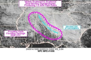
Most of the heavier rain north of I-20 has become much lighter and more sporadic with the more moderate between Anniston and Auburn. That may be a-changing over the next few hours.
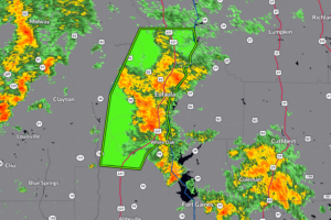
Between 3 and 4 inches of rain have fallen. Flash flooding is already occurring.
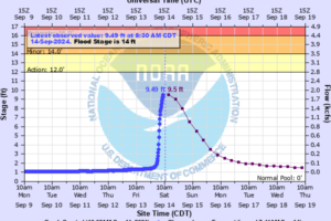
As we have talked about this morning, parts of Lawrence County have see over 6-9 inches of rain that has resulted in the flooding of numerous roads and a rise in creeks, streams and rivers.
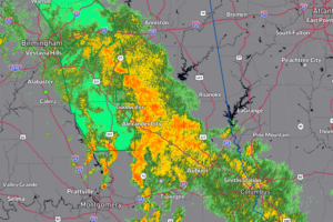
We still have a band of rain set up from NW Alabama stretching southeast through the Birmingham Metro down to Auburn. Still flooding concerns for the rest of today.
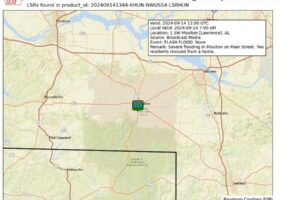
The Moulton area has been hit hard over the past 24-48 hours with heavy rain and flooding. The NWS Huntsville passing along a report of severe flooding on Main Street.
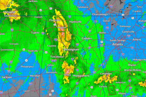
NWS Huntsville has posted precipitation reports for the last 48 hours. Some of the highest totals are coming in from Lauderdale and Lawrence Counties, where 9-11+ inches have fallen.
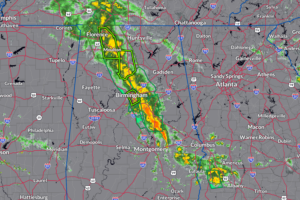
The strong tropical rain band continues to pound portions of Alabama with extremely heavy rain.
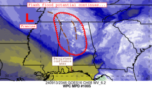
In this update, we look at the situation in parts of North Central Alabama and review the latest discussion from the WPC on how much longer we will be dealing with heavy rain!
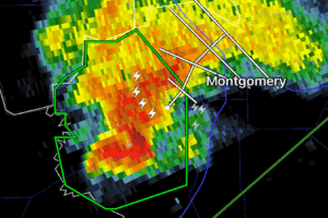
Radar now estimating 2-4 inches of rain has fallen from this nearly stationary storm.
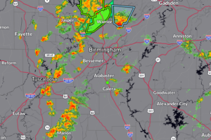
We are finishing off our week here in Alabama on a very active note. Have several flash flood warnings and flood advisories that continues across parts of the northern and central parts of the state. Some of these storms are producing rainfall rates of 1-3″+ per hour and this is on top of a few inches already bring the risk of flooding. In addition, some of the storms are packing a punch with strong winds to 40-50 mph and small hail.
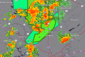
640pm Update: It continues to be a very active go of it across portions of Northern and Central Alabama with storms dumping a lot of rain in a short amount of time. The latest Flash Flood Warning gets into SW Blount and North Central Jefferson County were an estimated 2-3″+ of rain has fallen.
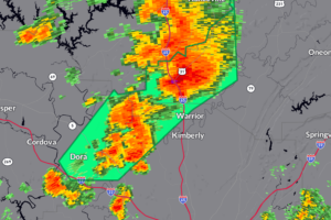
Between 1-2″ of rain has fallen, another 1-2″ could start to bring in some problems with minor flooding.
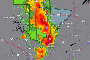
Storm packing a punch over Cullman County. It is moving northeast along around 25 mph. This is a part of the training line of storms that is also bringing the potential for isolated flooding.
 Our long time friend, mentor, and charter Weather Factory member, J.B. Elliott, passed away on May 11, 2015. Click HERE to read James' tribute.
Notifications

